Safety in the Ecuadorian Sierra 2027 / A complete guide for travellers, cyclists, and explorers
2027 travel safety report for Ecuador’s Sierra region, covering Quito, Cuenca, Cotopaxi, crime trends, and solo traveller safety
Explore Ecuador’s high country with total confidence
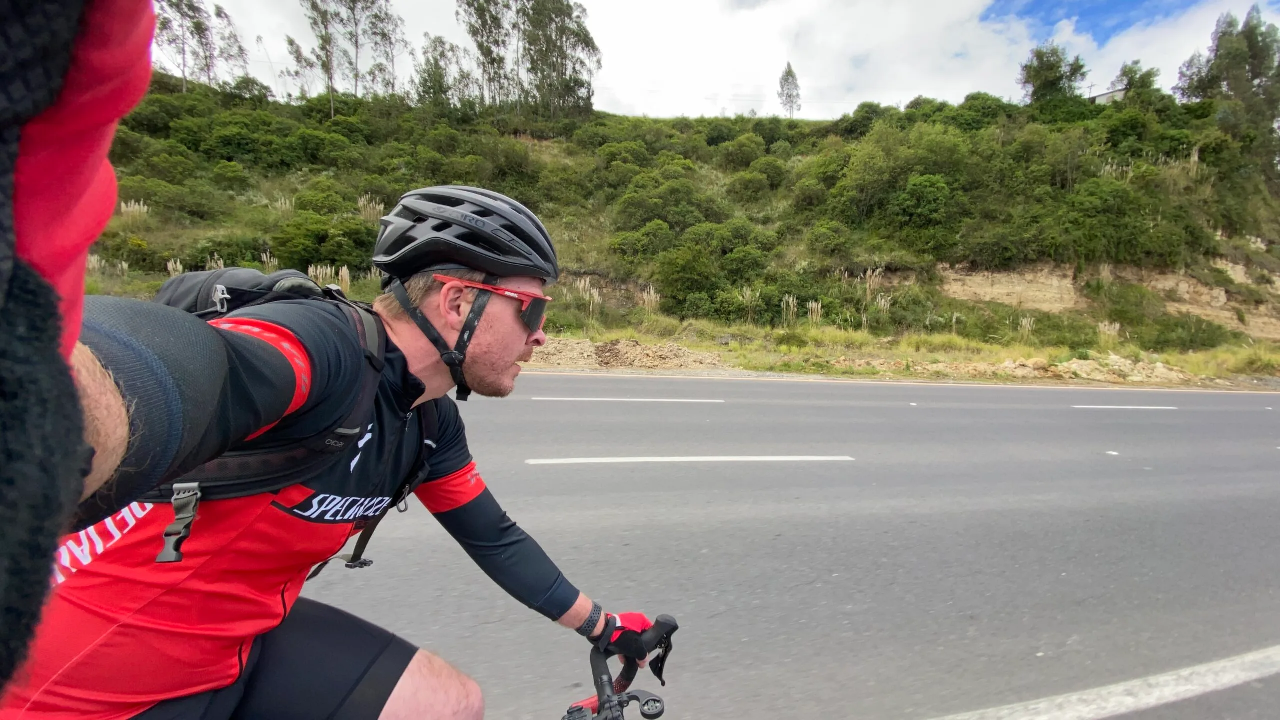
BEN FINCH
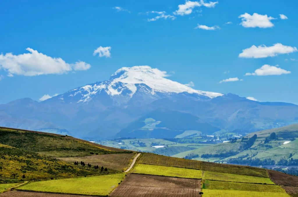
Travel across the Ecuadorian Andes remains one of South America’s most rewarding journeys. From the cobblestone streets of Quito and Cuenca to the high-altitude trails surrounding Volcán Cotopaxi and Chimborazo, the Sierra corridor offers dramatic geography and rich cultural heritage.
However, as national security dynamics in Ecuador continue to evolve, staying informed on regional safety is essential for any independent traveller, cyclist, or road tripper.
In our 2026 Ecuadorian Sierra safety guide, we examined the growing distinction between security conditions along Ecuador’s Pacific coast and the relative stability of the highland interior.
Entering 2027, that regional divide remains the single most critical factor in planning a safe itinerary. While headlines often group the entire country into unified risk warnings, the reality on the ground in the Sierra tells a far more nuanced and reassuring story for travellers who take sensible precautions.
At Wheely Tyred, our approach to route planning and travel writing puts practical safety first. This updated 2027 guide breaks down current crime patterns, transport logistics, solo travel dynamics, high-altitude considerations, and city-by-city conditions across the entire Ecuadorian Sierra.
Essential takeaways for your Andean journey
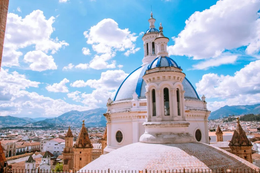
Exploring the high mountain routes, colonial cities, and volcanic valleys of the Ecuadorian Sierra is one of South America’s classic journeys. Here are the core safety insights every independent traveller and cyclist should remember before setting off.
- Regional security split: Violent crime remains concentrated along coastal drug transit corridors, while the Sierra highland provinces maintain relative stability for visitors
- Quito urban precautions: Protect mobile phones in busy streets, stay off quiet side roads in the Centro Histórico after nightfall, and stick to app-based transport
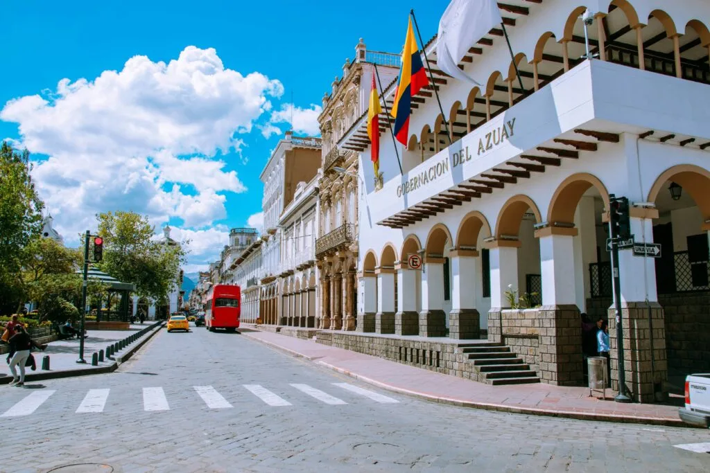
- Cuenca tranquillity: As South America’s benchmark for urban safety, Cuenca offers relaxed walking along the Río Tomebamba with low crime rates
- Cycling and páramo visibility: Equatorial mountain fog rolls across high passes unexpectedly; run bright rear flashing lights and wear high-visibility gear on all mountain roads
- Altitude acclimatisation: Spend two to three days resting in Quito or Cuenca before tackling high-altitude rides, volcano climbs, or remote mountain treks
- Cash logistics: Ecuador uses the US dollar; keep small notes ($1, $5, $10) in pocket money and use bank ATMs located inside secure commercial centres
- Daylight transit: Complete all intercity bus trips, rental car drives, and cycle stages during daylight hours to avoid unlit mountain roads and night fog
The Ecuadorian Sierra.
Get lost in the hills
The 2027 Andean reality / Understand the regional divide
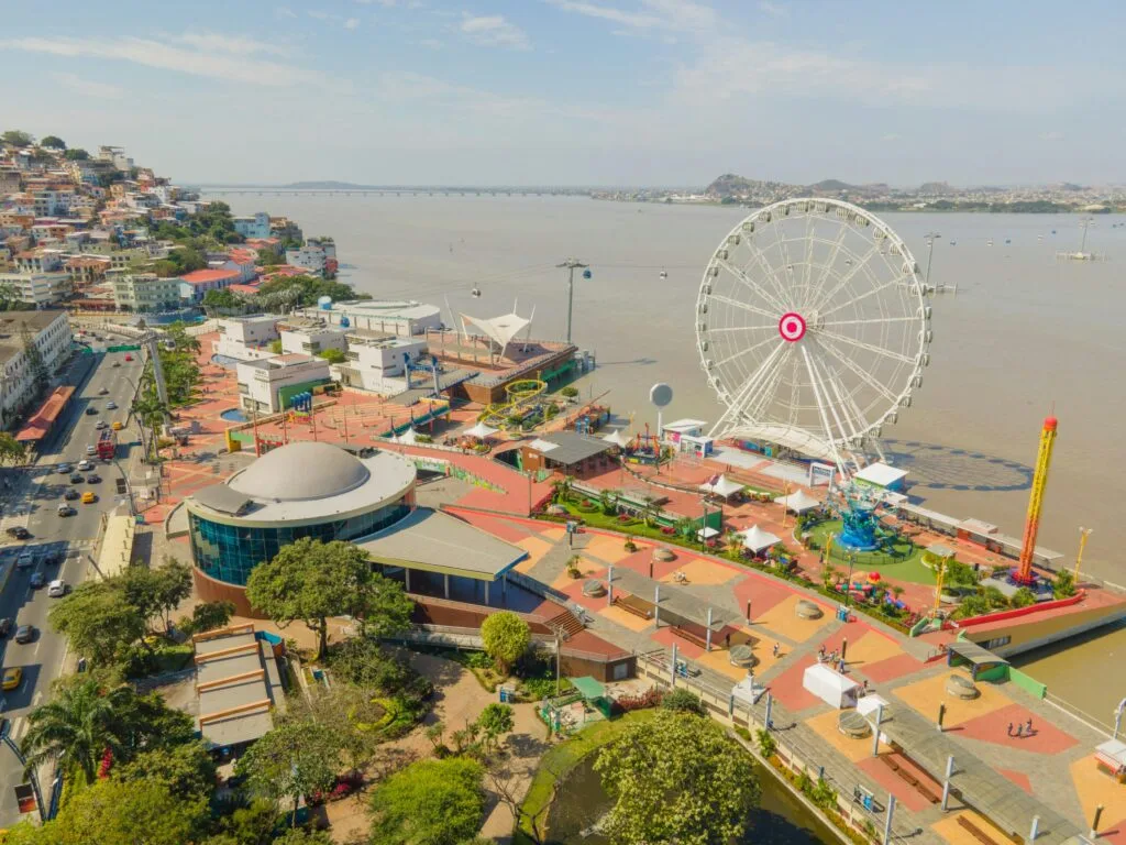
To travel safely in Ecuador, you must look beyond national statistics. Overwhelmingly, violent crime in Ecuador remains concentrated in specific coastal provinces — notably Guayas, Esmeraldas, Manabí, El Oro, and Los Ríos — driven by international maritime drug trafficking routes.
By contrast, the highland provinces that make up the Sierra — including Pichincha, Azuay, Tungurahua, Imbabura, and Loja — maintain security profiles comparable to major tourist regions across Latin America.
Azuay province, home to the colonial city of Cuenca, consistently reports homicide rates lower than many mid-sized cities in North America and Western Europe.
Ecuador regional safety (2027)
| Andean Sierra Corridor / Quito, Cuenca, Baños, etc. | Pacific Coastal Corridor / Guayaquil, Esmeraldas, Manta |
| Primary risk: Opportunistic petty theft & pickpocketing | Primary risk: Organised crime, transnational transit routes |
| Travel status: Open & safe with urban precautions | Travel status: Exercise extreme caution; avoid non-essential areas |
| Transport: Reliable apps, daylight intercity buses | Transport: Pre-arranged private transfers only |
For travellers following the classic Sierra route — moving from Otavalo in the north down through Quito, Cotopaxi, Baños de Agua Santa, Chimborazo, and ending in Cuenca or Loja — the operational environment remains stable. The key to a trouble-free journey lies in managing day-to-day urban opportunistic crime rather than worrying about regional conflict.
Specific crime types and realistic risks facing travellers
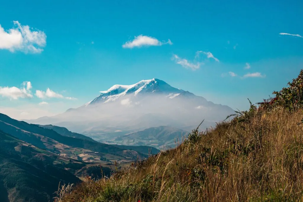
While violent incidents targeting international visitors along the Sierra tourist circuit are rare, non-violent property crime is common if awareness slips. Understanding how petty crime operates in highland cities allows you to prevent incidents entirely.
Distraction theft and phone snatching
The most frequent crime reported by visitors in Quito and transit hubs involves phone snatching. Thieves often work in pairs on motorcycles or on foot, targeting individuals holding smartphones loosely while standing near roadways or bus stops.
- Prevention tip: Keep smartphones secured in zip pockets or inside bags while walking. Step inside a café, hotel lobby, or against a solid wall if you need to check navigation or order a ride
Express kidnappings and street taxi risks
Hailing unregistered taxis on the street carries risk, particularly at night or near nightlife districts. Express kidnapping involves short-term abduction where victims are forced to withdraw cash from multiple ATMs before being released.
- Prevention tip: Never hail an unverified street cab. Always use ride-hailing applications such as Uber or Cabify in Quito, or ask your hotel or restaurant to call a registered radio taxi. In Cuenca, official yellow taxis with visible registration decals and meters are generally safe during daylight hours
Public transit luggage security
Pickpocketing and bag slashings occur on overcrowded municipal bus systems, including Quito’s Trolebús and Ecovía routes. On long-distance intercity buses, thefts often target small daypacks stored in overhead compartments or placed under seats.
- Prevention tip: Keep your small valuables bag on your lap with straps wrapped around your arm for the duration of intercity journeys. For municipal transport, wear small backpacks on your front
The Galápagos.
Ecuador’s Enchanted Isles
Safety guidance for solo, female, and minority travellers
Ecuador welcomes diverse international travellers, but local social dynamics vary between urban centres and rural mountain communities.
Solo travellers
Solo travel along the Sierra corridor is straightforward due to well-established backpacker infrastructure, reliable cellular coverage along the Pan-American Highway, and frequent bus transport.
Solo hikers exploring remote areas such as the Quilotoa Loop, Parque Nacional Cajas, or the flanks of Volcán Chimborazo should avoid trekking completely alone. Register your route with your hostel, download offline topographic maps, and consider hiring a certified local guide for high-altitude passes where weather changes rapidly.
Female travellers
Ecuador receives moderate safety ratings for solo female travellers. Verbal street harassment (machismo catcalling) can occur in dense urban areas, though it rarely escalates into physical confrontation.
- Avoid walking alone at night through quiet or dimly lit neighbourhoods, even in tourist hubs such as Quito’s Centro Histórico or Plaza Foch
- Use pre-booked app transport after dark rather than walking short distances alone
- When drinking in social settings, keep eyes on your beverage and arrange return transport in advance
LGBTQ+ travellers and ethnic minorities
Same-sex marriage is legal in Ecuador, and legal protections exist for LGBTQ+ individuals. Major highland cities, such as Quito and Cuenca, feature welcoming communities and open environments.
However, rural indigenous communities in regions like Imbabura or Cotopaxi tend to hold traditional social values. Public displays of affection, regardless of sexual orientation, may attract unwanted attention in rural villages.
Indigenous and minority travellers will find the Sierra culturally rich and generally welcoming. Showing respect for local customs, asking before taking photographs of residents, and learning basic Spanish phrases goes a long way in building positive local interactions.
City-by-city safety breakdowns across the Sierra
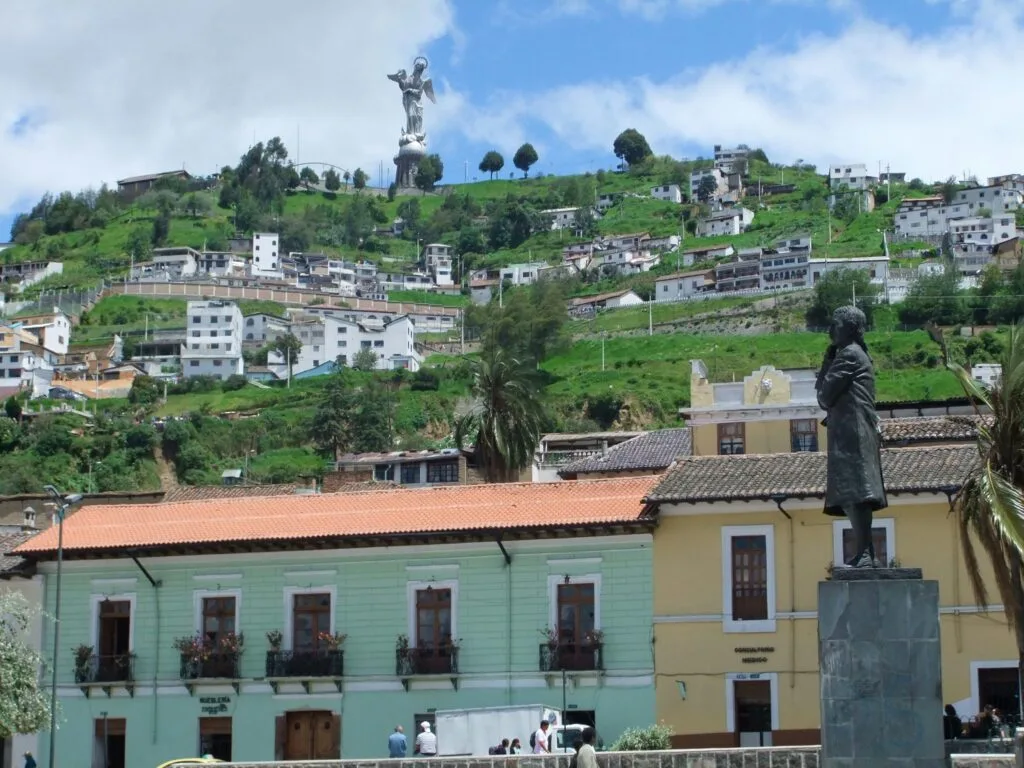
To help you structure your itinerary, here is the current security overview for key highland destinations in 2027.
Quito / Pichincha Province
Ecuador’s high-altitude capital is vibrant, historical, and sprawling. Safety varies noticeably by neighbourhood and time of day.
- Centro Histórico: Exceptionally safe and well-policed during daylight hours. Avoid quiet side streets after dark when shops close
- La Floresta, La Carolina & Cumbayá: Safe, modern residential and dining districts with active street life
- Airport arrival (UIO): Located in Tababela, about 45 minutes from central Quito. Arrange transfers through your accommodation, book an official airport taxi counter inside arrivals, or use ride apps. Avoid unofficial drivers offering rides inside the terminal
Cuenca / Azuay Province
Cuenca remains South America’s benchmark for urban safety and expat living. Homicide rates remain extremely low, and the city maintains a relaxed, walk-friendly atmosphere.
Walking along the Río Tomebamba, exploring colonial plazas, and day-tripping to Parque Nacional Cajas can be done with standard, minimal precautions.
Baños de Agua Santa / Tungurahua Province
As the adventure sports capital of the Sierra, Baños maintains robust tourist infrastructure and visible local policing. The town is very safe for independent travellers.
When booking mountain biking, canyoning, or rafting trips, verify that your operator holds active certification from the Ministerio de Turismo to ensure equipment safety.
Otavalo and the northern highlands / Imbabura Province
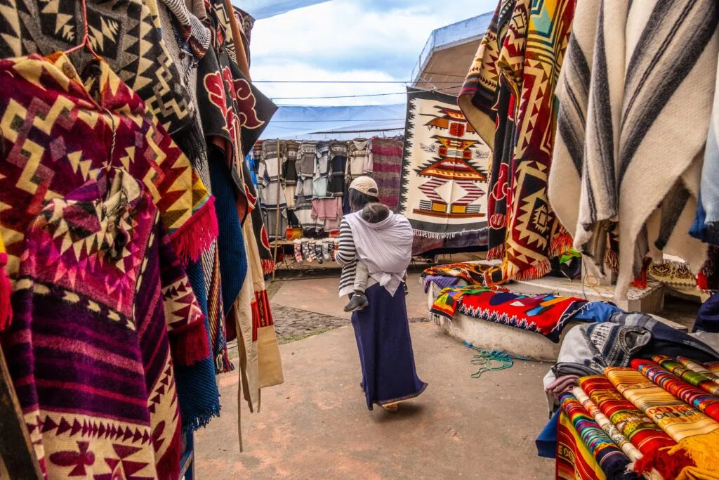
Famous for its indigenous craft market, Otavalo is safe for daytime visitors and shoppers. Keep small backpacks zipped tight when navigating dense crowds at the Plaza de Ponchos market.
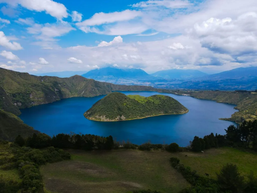
Nearby trekking around Laguna de Cuicocha is peaceful and well-regulated.
Loja and Vilcabamba / Southern Sierra
The southern highlands offer a tranquil climate, low crime rates, and scenic mountain roads ideal for cycling and slow travel. Independent exploration here is calm, easygoing, and unhurried.
The Ecuadorian Amazon.
The most biodiverse place in the world
Route planning, cycling, and mountain transit safety
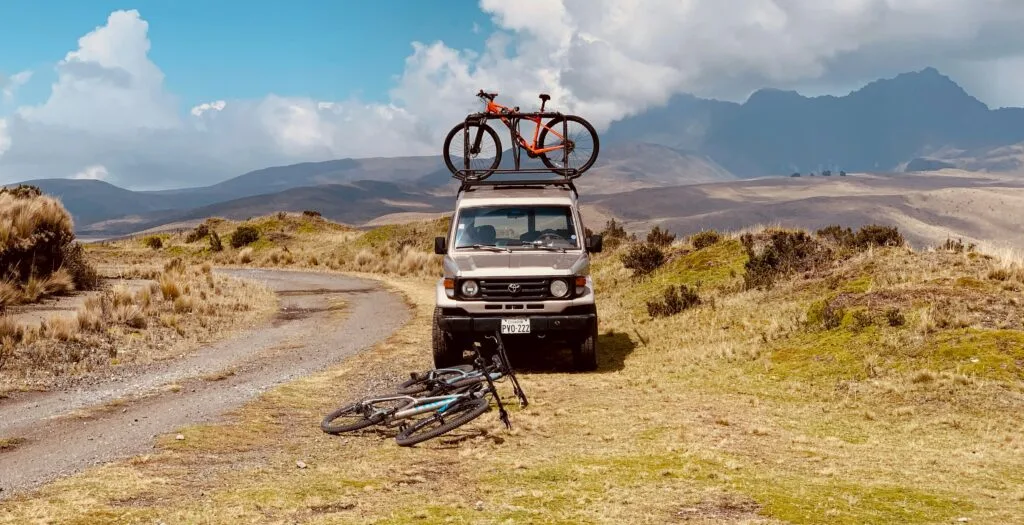
Navigating the geography of the Sierra involves steep gradients, dramatic weather shifts, and high altitudes. Whether driving a rental vehicle, taking intercity coaches, or bikepacking through the páramo, transport safety requires active preparation.
Mountain route safety checklist
- Acclimatise in Quito or Cuenca (2–3 days) before intense riding
- Check Instituto Geofísico alerts for Cotopaxi & Sangay activity
- Pack high-visibility high-lumen rear lights
- Complete intercity mountain transit during daylight hours
- Carry emergency cash in small denominations ($1, $5, $10 notes)
Road conditions and cycling logistics
The main highway arterial — the Pan-American Highway (E35) — is well-paved and engineered across most of the Sierra. However, secondary roads climbing into mountain passes can feature narrow lanes, sharp switchbacks, missing guardrails, and sudden rockfalls during rainstorms.
For road cyclists and touring bikepackers:
- Visibility: Heavy mountain fog can roll across high passes (páramos) within minutes. Use high-lumen front and rear flashing lights at all times, even in midday sun
- Driver habits: Large buses and heavy trucks frequently overtake on narrow mountain roads. Ride defensively, stay as far right as safely possible, and avoid riding after dusk
- Bike storage: Always lock bicycles inside secure hotel storage overnight. Never leave bikes unattended on car roof racks or outside shops
High altitude and equatorial weather
Altitude sickness (soroche) affects many visitors arriving in Quito (2,850 metres above sea level) or heading straight to Cotopaxi (3,800+ metres).
- Acclimatisation: Spend two to three days resting and hydrating in Quito or Cuenca before tackling strenuous hikes or high-altitude mountain bike descents
- Sun protection: At high altitude near the Equator, UV intensity is extreme. Wear broad-spectrum SPF 50+ sunscreen, polarised sunglasses, and protective headwear even on overcast days
Volcanic activity monitoring
Ecuador’s highlands are home to several active volcanoes, including Cotopaxi, Tungurahua, and Sangay. Natural park authorities monitor seismic and ash emissions closely. Always consult park ranger stations or official updates from the Instituto Geofísico before embarking on high-mountain ascents.
Essential field rules for daily safety in Ecuador
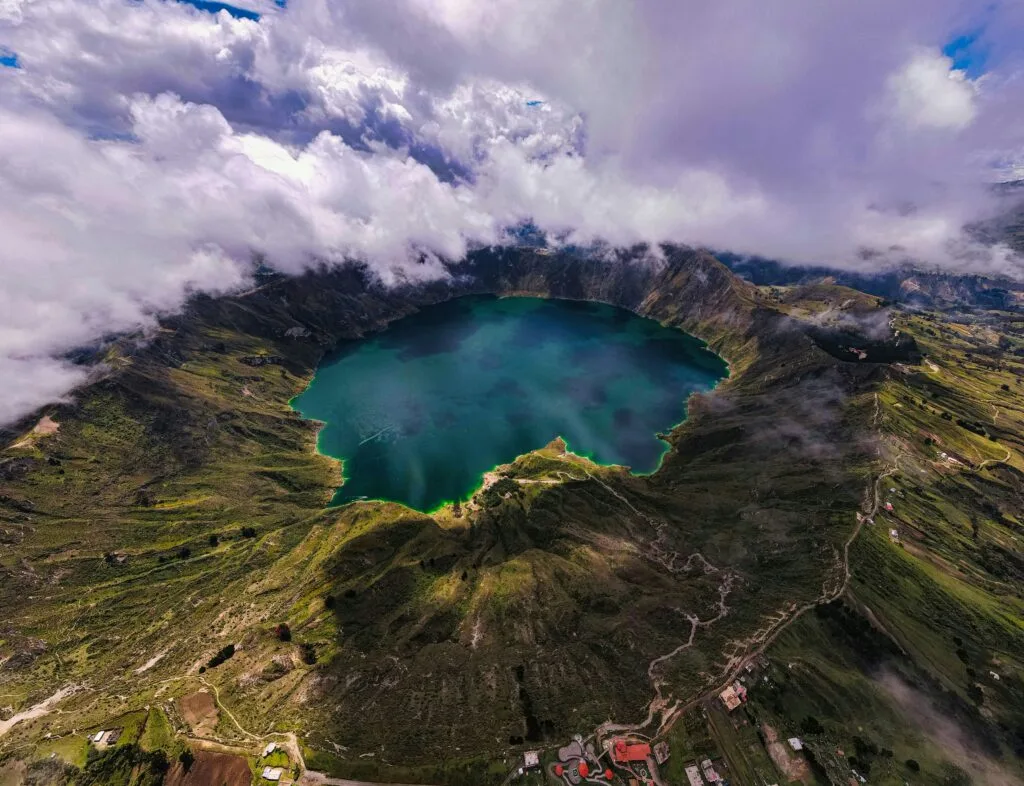
Memorise these straightforward rules to maintain a smooth, stress-free trip through the Andes:
- Rely on app-based transport: Use Uber, Cabify, or radio taxis, especially at night in Quito. Avoid hailing random cabs on the street
- Keep tech out of sight: Pull your smartphone out only when standing inside a store or with your back against a wall. Avoid wearing expensive jewellery or visible camera gear while walking in high-traffic zones
- Manage your cash: Ecuador uses the US dollar. Merchants rarely have change for $20 or $50 bills. Carry small notes ($1, $5, $10) and withdraw cash from ATMs located inside bank branches or shopping malls rather than street machines
- Travel by day: Plan road trips, bicycle rides, and intercity bus rides during daylight hours. Avoid driving mountain highways at night due to limited street lighting and fog
- Comply instantly: In the unlikely event of a robbery, do not fight back. Hand over material possessions immediately. Keep a backup digital copy of your passport on cloud storage and carry a paper photocopy during daily outings
By respecting local advice, keeping your belongings secure, and choosing reliable transport, travelling through Ecuador’s high country in 2027 remains an unforgettable, safe, and deeply enriching adventure.
The Ecuadorian Coast.
Where you’ll find the very best food
Head into the high country with clarity
Read this far?
Navigating the Ecuadorian Andes by bike, bus, or on foot offers an authentic connection to a landscape shaped by ancient indigenous trade networks, volcanic peaks, and colonial architecture. While headlines regarding national security in South America can seem alarming, on-the-ground experience across the Sierra corridor rewards travellers who plan thoughtfully and respect local advice.
By separating regional coast-versus-highland realities from broad national headlines, you can design an itinerary that focuses on the best of the Andes. Whether sipping coffee in Cuenca, riding through the high páramo near Chimborazo, or exploring the indigenous markets of Otavalo, the keys to safety remain simple: travel during daylight, guard against petty distraction theft, and respect the physical demands of high equatorial altitude.
At Wheely Tyred, we believe that independent travel is at its finest when grounded in practical preparation. Equip yourself with accurate route knowledge, keep your gear secure, and step into the high country ready for an unforgettable journey.
Affiliate Disclaimer: Some of the links on Wheely Tyred are affiliate links. If you click through and make a booking or purchase, we may earn a small commission at no extra cost to you. We only recommend gear, tours, stays, and services we genuinely use, trust, and stand behind — our editorial independence always comes first. These commissions help keep our independent cycling guides and travel stories free to read. You can also buy me a coffee here — thanks for supporting the ride!
Frequently asked questions about safety in the Ecuadorian Sierra
Yes, intercity buses running along the main Pan-American Highway (E35) between Quito, Ambato, Baños, and Cuenca are widely used by locals and international travellers. To maximise safety, choose established bus companies, travel exclusively during daylight hours, and keep your small daypack containing money, passports, and electronics on your lap rather than in overhead luggage bins or under your seat. I have been robbed while asleep on a bus from Quito to Cuenca.
Altitude sickness (soroche) can affect anyone arriving at elevations above 2,500 metres. Take it easy for your first 48 hours in Quito or Cuenca, drink plenty of water, limit alcohol, and drink local coca leaf tea (mate de coca). If severe headaches or nausea persist, descend to a lower altitude immediately and seek medical attention at a local clinic.
Cycling the Sierra is immensely rewarding, but traffic awareness is essential. Ride defensively, stay clear of large intercity coaches, and avoid riding after dark when visibility drops. Always use high-lumen front and rear flashing lights to remain visible during sudden mountain fog on high páramo passes.
Cuenca is significantly calmer and safer at night than Quito. Walking through the illuminated historic centre or along the Río Tomebamba during early evening hours is standard practice. In Quito, stick to well-lit dining districts, such as La Floresta or Cumbayá, after dark, and rely on app-based rides like Uber rather than walking long distances at night.
Ecuador uses the US dollar as legal tender. Rural vendors, small cafés, and local bus drivers rarely have change for $20, $50, or $100 notes. Carry a supply of $1, $5, and $10 bills, along with US coins, for daily purchases in market towns, such as Otavalo or Saquisilí.
While self-guided day walks along marked trails near Laguna de Quilotoa or lower loops in Parque Nacional Cajas are manageable for experienced walkers, hiring a certified local guide is recommended for multi-day treks or high-altitude mountain ascents. Weather conditions in the Andes can shift from bright sunshine to freezing rain within minutes.
Ecuador.
Pure wonder on the equator.