Cajas safety guide 2027 / High-altitude hiking & national park trail hazards
Master Cajas National Park hiking hazards, weather shifts, elevation acclimatisation, and route navigation in 2027
Safety protocols and trail preparation for Ecuador’s páramo wilderness
BEN FINCH
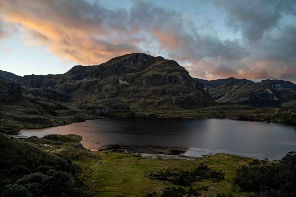
The raw, stark beauty of Parque Nacional El Cajas draws thousands of adventurers out of Cuenca every year. Stretching across thousands of hectares of high-altitude páramo tundra, jagged glacial peaks, and over two hundred mirror-like lakes, it stands as one of South America’s most breathtaking highland environments.
Yet beneath its peaceful appearance lies an environment that punishes poor preparation.
As an extension of our 2026 safety overview, this updated 2027 safety guide breaks down everything needed to navigate Cajas National Park securely. Whether tackling a casual loop around Laguna Toreadora, embarking on a full-day traverse through remote wetland routes, or exploring by bike, understanding the terrain, weather patterns, and physiological risks will ensure a safe return.
High-altitude essentials / Cajas at a glance
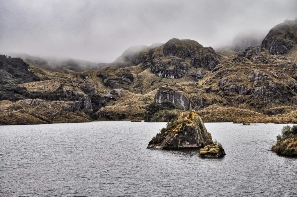
Navigating the delicate, weather-beaten terrain of Parque Nacional Cajas requires strict preparation and respect for environmental conditions. Before stepping on the trail, keep these essential safety insights at the forefront of your planning.
- Acclimatisation Protocol: Spend at least two nights resting in Cuenca (2,560 metres) before ascending to park gates above 3,900 metres to reduce the risk of acute mountain sickness
- Microclimate Protection: Weather conditions shift from clear skies to freezing rain and dense fog within minutes; heavy-duty waterproof outer layers and thermal mid-layers are mandatory
- Footwear Selection: Sturdy, waterproof ankle-high boots with deep rubber lugs are essential for navigating saturated páramo soil and spongy peat bogs safely
- Ranger Registration: Mandatory check-in at the ETAPA La Toreadora visitor centre ensures search-and-rescue tracking and personal accountability on the trails
- Offline Navigation: Download satellite maps prior to leaving Cuenca, as cellular coverage drops completely once descending into high-altitude valleys
- Route Matching: Beginners should remain on established day loops such as Laguna Toreadora (Route 1), while summit scrambles up Cerro San Luis require clear weather and previous mountain experience
Cajas National Park.
The most beautiful national park
High altitude and hypoxia / The primary risk factor
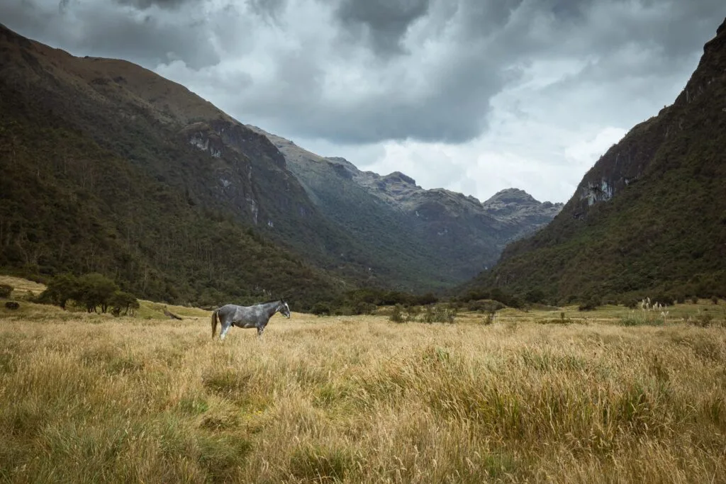
The single greatest danger in Cajas National Park is not the wildlife, terrain, or crime—it is the elevation. While the colonial centre of Cuenca sits at a comfortable 2,560 meters (8,400 feet), the main park entrance at La Toreadora sits at roughly 3,920 meters (12,860 feet), with high passes reaching well over 4,400 meters.
Because the main highway connects Cuenca to the park gate in under 50 minutes, visitors experience an elevation gain of over 1,300 vertical meters in under an hour. This rapid ascent leaves no time for natural physiological adaptation during transit.
Understand Acute Mountain Sickness (AMS)
At 4,000 meters, effective oxygen levels per breath drop significantly compared to sea level. Even fit, experienced athletes can suffer severe symptoms if ascending too quickly.
- Mild Symptoms: Frontal headaches, mild nausea, loss of appetite, slight dizziness, and fatigue
- Severe Warning Signs: Persistent vomiting, severe confusion, loss of physical coordination (ataxia), or a persistent dry cough signalling fluid accumulation in the lungs
Acclimatisation strategy for 2027
To prevent altitude illness from ruining the trek, adhere to a strict acclimatisation timeline:
- The Two-Night Rule: Spend a minimum of 48 hours acclimatising in Cuenca before setting foot on any trail above 3,500 meters
- Hydration Protocol: Increase water intake to 3–4 litres per day starting 24 hours prior to entering the park. Dry air and heavy respiration accelerate dehydration significantly
- Pacing: Reduce standard hiking speeds by at least half. Keep heart rates low on inclines, particularly during the initial two hours of walking
- Immediate Descent: If headaches persist despite hydration and analgesics, or if dizziness turns into confusion, descend immediately. A drop of just 300 to 500 meters often resolves mild altitude sickness symptoms rapidly
Unforgiving microclimates / Hypothermia and rapid weather shifts
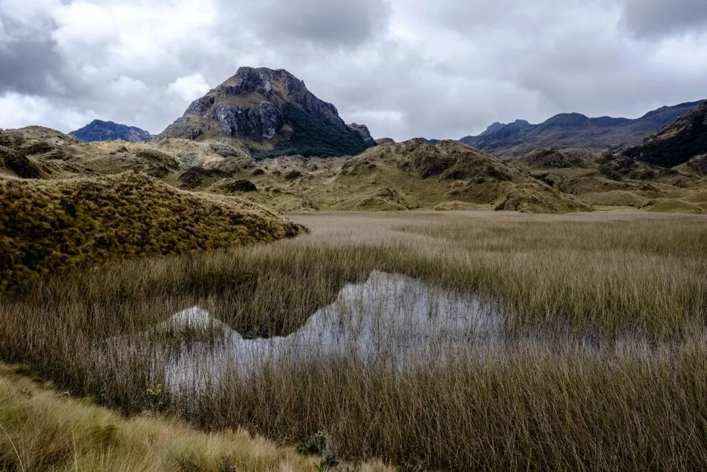
Positioned on the continental divide, Cajas acts as a barrier where humid air currents from the Pacific Ocean meet cold mountain masses. This geographic dynamic generates sudden, intense microclimates that shift within minutes.
The threat of exposure and hypothermia
Temperatures in the park typically hover around 5°C to 15°C during clear daylight hours, but sudden cold fronts drop conditions below freezing instantly. Rain combined with high winds at 4,000 meters dramatically increases wind chill, posing an immediate hypothermia hazard if wet clothing touches the skin.
Mandatory trail gear checklist
Never start a trail in Cajas without carrying the following gear, regardless of morning blue skies:
- Waterproof Outer Shell: Heavy-duty Gore-Tex or equivalent rain jacket and pants. Softshell water-resistant garments often fail in sustained Andean downpours
- Thermal Mid-Layers: Fleece or down insulation that retains heat even in damp conditions
- Footwear: Waterproof ankle-high hiking boots with deep rubber lugs. Páramo soil acts like a giant sponge; low-top trail runners will become soaked in mud and bog within minutes
- Extreme UV Protection: Highland sun penetrates thick cloud cover easily. Apply broad-spectrum SPF 50+ sunscreen, wear UV-rated sunglasses, and cover the neck and ears
The Ecuadorian Sierra.
Get lost in the hills
Navigation hazards and disorientation
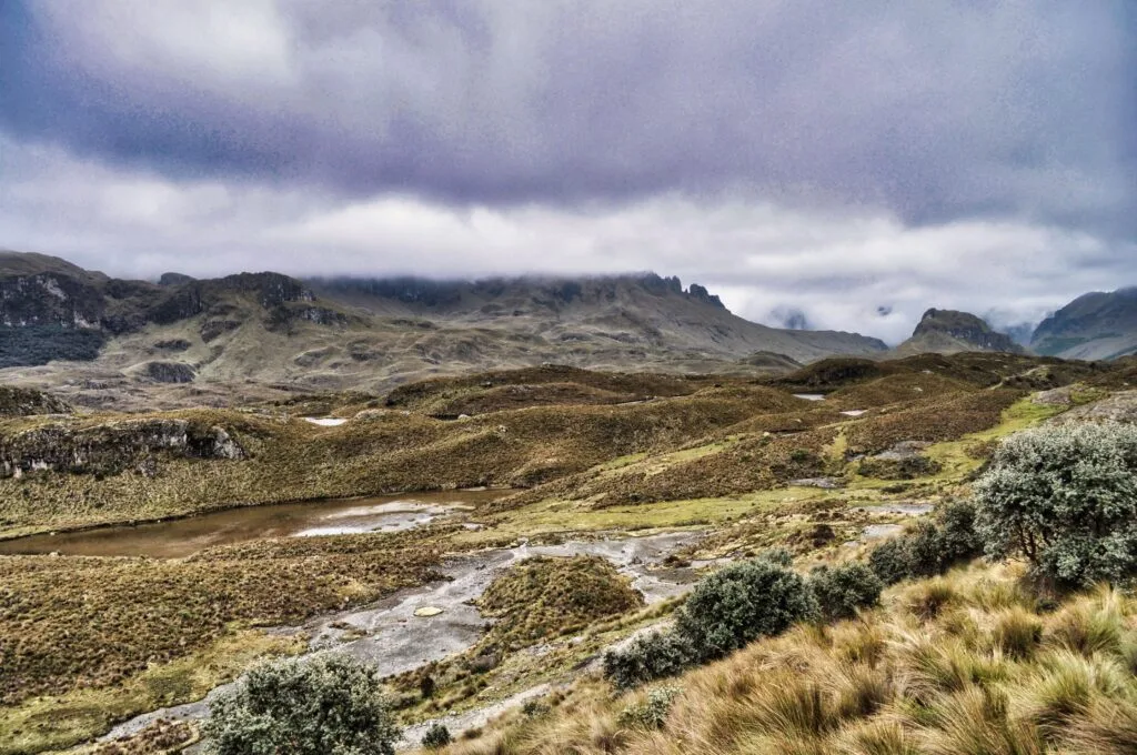
The páramo terrain is visually deceptive. Wide open valleys, uniform tussock grasses, peat bogs, and scattered glacial boulders lack tall visual landmarks. When mountain fog rolls across the landscape, visibility drops to less than five meters in seconds.
Trail marking reality
While main routes such as the Laguna Toreadora loop (Route 1) are well-defined, secondary and long-distance trails rely on painted rocks, low wooden stakes, or natural paths through muddy terrain. Rain frequently obscures painted markers, and livestock paths can easily lead hikers off designated routes.
Essential navigation safety rules
- Ranger Station Check-In: Registration at the ETAPA ranger station (La Toreadora) is legally required and essential for safety. Inform staff of the exact intended trail number and estimated return time
- Offline Navigation Devices: Mobile phone service inside the park is spotty or nonexistent. Download offline satellite maps (such as Maps.me or Gaia GPS) or carry a dedicated hand-held GPS unit
- The Fog Protocol: If enveloped in dense fog and unable to locate the next trail marker, halt immediately. Do not wander in search of the path, as steep drops, cold lakes, and soft peat bogs pose high injury risks. Wait for brief openings in fog cover or backtrack carefully along known footprints
The Galápagos.
Ecuador’s Enchanted Isles
Trail safety profile / crime, public safety, and inclusivity
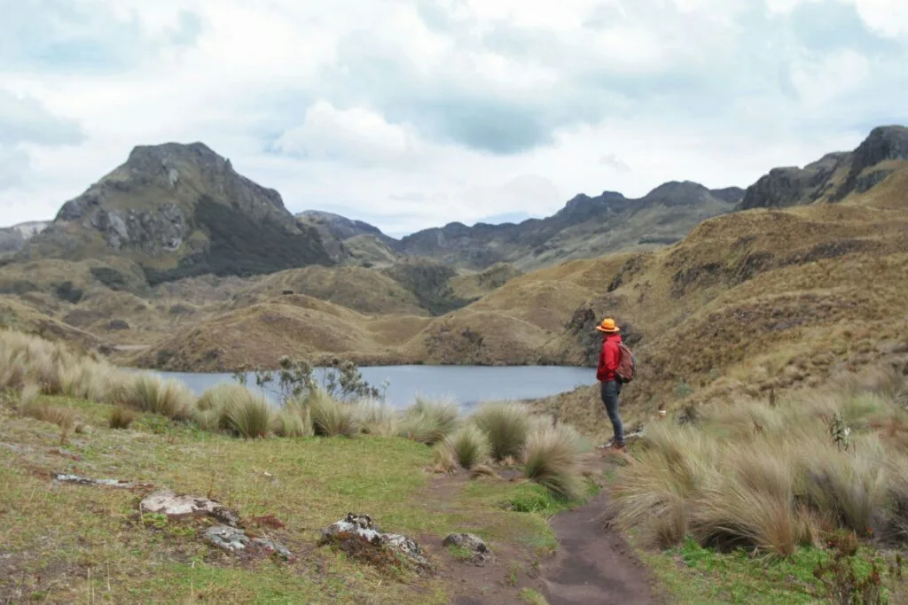
Understanding regional crime statistics and trail demographics helps set accurate safety expectations for independent travellers.
Crime and security overview
Unlike urban coastal areas or transit hubs, Cajas National Park maintains an exceptionally high safety record regarding violent crime.
- Physical Violence: Negligible. The isolated high-altitude environment and managed entry points deter organised criminal activity
- Petty Theft: Occurs rarely, primarily limited to unattended vehicles parked along the main Cuenca–Guayaquil highway (E58). Always park in monitored areas near the official ranger station
- Transit Safety: Public buses departing Cuenca’s Terminal Terrestre toward the park are safe and affordable. Keep personal daypacks on your lap rather than placing them in overhead racks during transit
Solo travel safety
Solo hiking is permissible on established day-use trails such as Route 1 and Route 2. However, trekking solo on deeper, multi-day routes or technical summit paths like Cerro San Luis is strongly discouraged due to the risk of injury or sudden weather exposure without assistance.
Always notify ranger staff or your accommodation in Cuenca of your itinerary before departure.
Women and minority travelers
Cajas National Park provides a welcoming, accessible outdoor experience for women and minority travellers. Trail management is overseen by ETAPA, Cuenca’s municipal utility company, maintaining professional ranger station facilities, clear administrative rules, and respectful staff.
Harassment on trails is exceptionally rare, as most visitors are international hikers, local families, and nature enthusiasts.
The Ecuadorian Amazon.
The most biodiverse place in the world
Route breakdown / Choose the right risk level
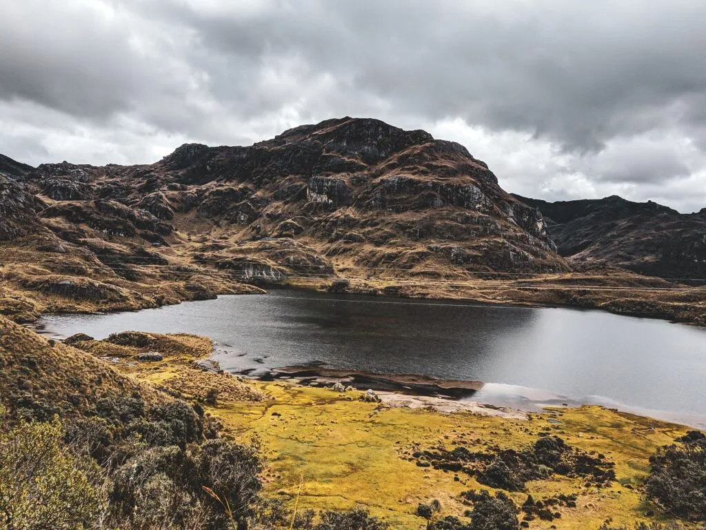
Matching trail choice to physical conditioning and weather forecasts is critical for a safe visit.
| Route Name | Distance / Time | Altitude Range | Primary Hazards | Safety Recommendation |
| Laguna Toreadora Loop / Route 1 | 4 km / 1.5–2 hrs | 3,900–3,950 m | Muddy shoreline, mild cold exposure | Ideal for beginners, families, and testing altitude tolerance |
| Tres Cruces Pass / Route 2 | 2 km / 1 hr | 4,167 m | High altitude exposure, strong crosswinds | Short walk, but high altitude causes rapid fatigue |
| Cerro San Luis Summit | 2.2 km / 2.5–3 hrs | Up to 4,265 m | Steep drop-offs, slippery rock scrambles, whiteouts | Avoid during rain, high winds, or heavy fog. Experienced hikers only |
| Avilahuayco / Multi-Lagoon Routes | 8–12 km / 4–6 hrs | 3,800–4,200 m | Trail loss, deep peat bogs, hypothermia risk | Offline GPS required. Start before 8:30 AM |
Critical pre-trip safety rules
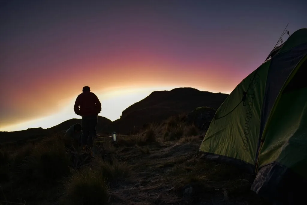
To maintain high safety standards across all routes, observe these core rules before entering the park:
- Observe Official Closures: Check with park authorities in Cuenca or at the La Toreadora gate for active trail closures, environmental restoration zones, or weather alerts before setting out
- Pack Emergency Essentials: Carry a fully charged power bank, whistle, thermal space blanket, high-calorie food, and a small first-aid kit containing blister treatment and elastic bandages
- Respect Park Regulations: Stay strictly on designated paths. Stepping off-trail damages fragile high-altitude cushion plants and increases the risk of slipping into hidden water pockets or deep bogs
The Ecuadorian Coast.
Where you’ll find the very best food
Respect the high-altitude wilderness of El Cajas
Read this far?
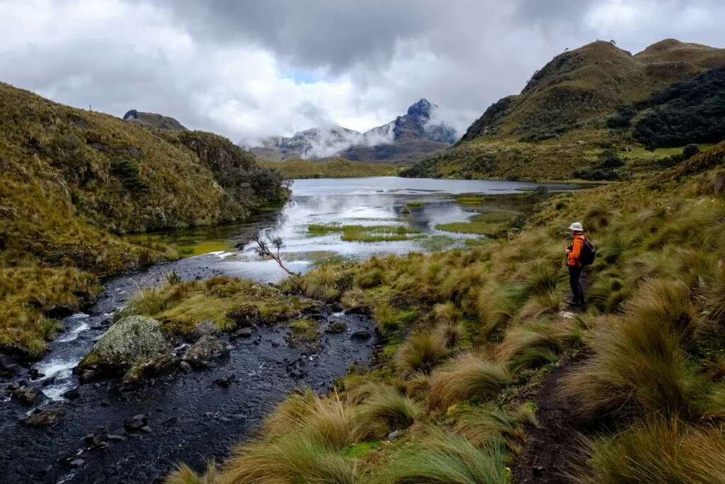
Standing amidst the vast, windswept grasslands of Parque Nacional Cajas, it is easy to feel humbled by the scale of the Andean landscape. The jagged peaks, cold glacial tarns, and silent paper-bark forests offer an authentic encounter with high-altitude nature.
Yet, the very elements that make this national park so compelling—its isolation, raw weather systems, and elevated topography—demand thoughtful preparation from every independent traveller.
Reaching the park boundary requires little more than stepping onto a local bus at Cuenca’s Terminal Terrestre and watching the urban valley give way to mountain slopes. This accessibility is a privilege, but it should never lure hikers into complacency.
By pacing your movement, carrying suitable waterproof gear, and monitoring sudden cloud movements across the passes, you transform potential environmental hazards into a managed, rewarding outdoor journey.
Whether visiting for a quiet morning loop around Laguna Toreadora or taking on an extended trek across ancient trade paths, self-reliance remains your best asset. Respect the land, stay on marked routes to protect fragile cushion plants, and listen to guidance provided by local park rangers. Safe travels on the trails of El Cajas.
Affiliate Disclaimer: Some of the links on Wheely Tyred are affiliate links. If you click through and make a booking or purchase, we may earn a small commission at no extra cost to you. We only recommend gear, tours, stays, and services we genuinely use, trust, and stand behind — our editorial independence always comes first. These commissions help keep our independent cycling guides and travel stories free to read. You can also buy me a coffee here — thanks for supporting the ride!
Frequently asked questions about Cajas safety
Buses depart regularly from Cuenca’s Terminal Terrestre towards Guayaquil along Highway E58. Simply inform the driver or conductor that you wish to get off at La Toreadora ranger station. The journey takes roughly 45 to 50 minutes, and buses run throughout the morning.
Entrance to Cajas National Park is free of charge. However, all visitors must register their full name, passport number, and planned hiking route at the ETAPA ranger station at La Toreadora before stepping onto any trail.
If visibility drops rapidly due to mountain fog, stop moving immediately and stay on the path. Uniform páramo vegetation makes off-trail navigation dangerous. Wait for a temporary opening in the cloud cover rather than wandering in search of markers, as steep drops and cold lakes lie close to many trails.
A small municipal building near the La Toreadora visitor centre offers hot drinks such as coca tea and basic warm meals, but operating hours and supply can vary. Hikers should carry at least two to three litres of water and energy-dense snacks purchased in Cuenca.
Main marked day trails such as the Laguna Toreadora loop are safe for solo hikers who register with park staff. However, undertaking remote multi-day routes or technical summit ascents like Cerro San Luis alone is discouraged due to rapid weather changes and limited emergency response in deep valleys.
Mornings consistently offer the clearest weather and lowest chance of heavy precipitation. Aim to arrive at the ranger station by 8:00 AM or 8:30 AM to complete your chosen route before afternoon fog, wind, and rain settle over the passes.
Ecuador.
Pure wonder on the equator.