
Navigating the heights safely / The ultimate guide to visiting Quilotoa Lake, Ecuador
Discover essential travel safety tips, altitude advice, and transport security guidelines for exploring the Quilotoa Loop independently
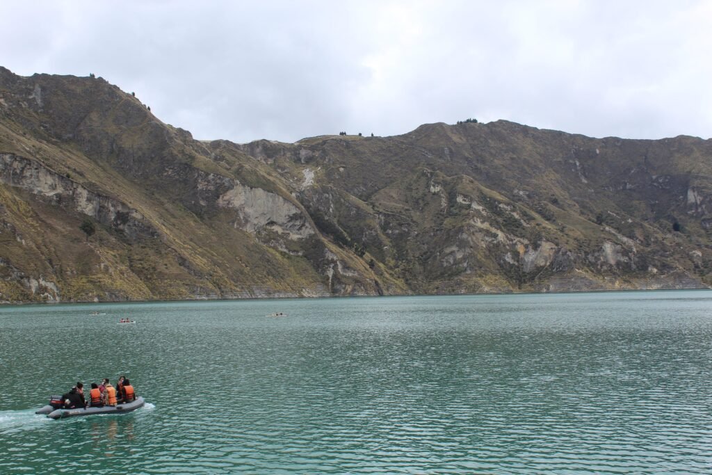
Wander the emerald edge of an ancient volcanic crater with confidence

BEN FINCH
The dramatic beauty of the Ecuadorian Andes draws independent travellers, remote cyclists, and multi-day hikers from across the globe. At the true crown of this high-altitude landscape lies Quilotoa Lake, a massive, water-filled volcanic caldera displaying a striking emerald hue that shifts with the passage of the sun. For anyone planning a journey along the famous hiking trails or cycling routes of the surrounding region, understanding the practical safety dynamics is the key to unlocking an unforgettable and worry-free experience.
When analysing international travel advice, it is easy to feel overwhelmed by sweeping national security alerts. At Wheely Tyred, we believe that nuanced local knowledge is the absolute best tool for any adventurer. By separating regional realities from sensationalised headlines, you can navigate this stunning terrain with the practical confidence of a seasoned local.
Essential safety takeaways for the Quilotoa Loop
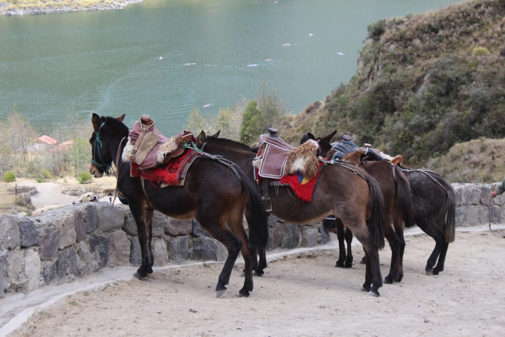
Navigating the dramatic ridges of the Ecuadorian Andes requires a balance of environmental respect and sharp logistical planning. This quick-reference breakdown distils the core safety strategies every independent adventurer needs before tackling the high-altitude caldera.
- Andean Security Realities: Violent crime remains heavily concentrated within coastal lowlands and major port cities, leaving the rural mountain corridors exceptionally peaceful due to tight-knit Kichwa communities and traditional community justice systems
- The Altitude Factor: Sitting at 3,914 metres above sea level, the crater rim presents a severe risk of altitude sickness (soroche), making a two-to-three-night acclimatisation stay in Quito or Latacunga non-negotiable for hikers and cyclists alike
- Transit Vigilance: Petty theft and highly organised distraction techniques are common at urban transport hubs like Terminal Quitumbe in Quito; travellers must keep their primary daypacks on their laps rather than using overhead racks
- Mercurial Mountain Weather: Clear mornings along the trails connecting Sigchos, Isinlivi, and Chugchilán can instantly transform into freezing fog or lightning storms, requiring fully charged devices and offline mapping applications to navigate safely
- Territorial Canines: Remote paths frequently cross working mountain farms guarded by territorial sheepdogs; hikers should maintain a calm demeanour, speak in firm, low tones, and walk past steadily without making confrontational eye contact
- The Cash Economy: The entire volcanic circuit functions almost exclusively on cash, meaning independent travellers must withdraw sufficient funds in small-denomination US dollars ($1, $5, and $10 bills) before leaving major regional centres
The Ecuadorian Sierra.
Get lost in the hills
Understanding the security landscape of the Ecuadorian highlands

International headlines frequently focus on political unrest, gang-related activity, and security challenges within Ecuador. However, a closer look at the geography reveals a stark divide between different provinces. The vast majority of serious violent crime is tightly concentrated in the coastal lowlands and major port cities where international trade routes intersect.
In total contrast, the rural Andean Sierra, which shelters the communities of the high-altitude circuit, remains one of the most peaceful corridors in South America. The indigenous Kichwa communities who populate the mountain villages maintain an exceptionally close-knit social fabric. Throughout these high valleys, a system known as community justice operates alongside traditional law enforcement. This deeply ingrained cultural framework creates a powerful natural deterrent against criminal behaviour.
As a result, violent crime targeting international tourists in the mountain villages is virtually non-existent. The residents rely heavily on sustainable adventure tourism, meaning that welcoming, protecting, and guiding visitors is a shared communal priority. While you must always remain observant, the primary threats you will face in this region are environmental rather than criminal.
Conquering the altitude / The real danger at 3,900 metres
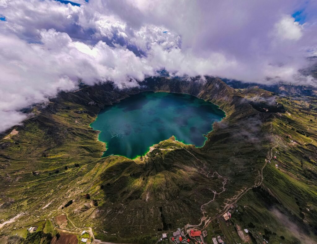
While many travellers arrive focused on personal security, the most immediate and physical hazard at the crater is the sheer elevation. The rim sits at an intimidating 3,914 metres above sea level. Arriving here directly from sea level or even after a brief stay in a lower valley introduces a very real risk of acute mountain sickness, locally known as soroche.
Altitude sickness does not care about your baseline physical fitness. It is caused by the lower atmospheric pressure and reduced oxygen availability, forcing your heart and lungs to work twice as hard. Symptoms range from mild headaches, fatigue, and dizziness to severe nausea and acute shortness of breath.
To ensure a safe and enjoyable exploration, proper acclimatisation is non-negotiable. Spend at least two to three nights at an intermediate altitude, such as the historic capital of Quito or the bustling highland hub of Latacunga, before attempting to hike or cycle around the caldera.
When you do begin your trek down into the crater or along the rim, deliberately pace yourself. The descent to the water’s edge is misleadingly straightforward, but the return journey involves an incredibly steep, punishing climb up loose volcanic scree and sand. Keep your fluid intake exceptionally high, avoid heavy meals or alcohol the night before your trek, and pack oral rehydration salts to maintain your electrolyte balance in the thin mountain air.
The Galápagos.
Ecuador’s Enchanted Isles
Transit and transport / Staying safe from Quito to Latacunga
The vast majority of petty crimes affecting travellers visiting the region do not happen on the mountain trails themselves. Instead, they occur within the busy transport hubs that connect the coast and the capital to the central highlands.
If you are taking public transport, your safety strategy must begin the moment you step into major bus terminals, such as Terminal Quitumbe in southern Quito or the central terminal in Latacunga. These crowded, high-energy environments are primary targets for highly organised pickpockets who rely heavily on distraction techniques.
A staged argument, an accidental spill of liquid onto your clothing, or a sudden push in a crowded queue are classic tactics used to divert your attention while an accomplice reaches into your pockets.
When boarding regional buses heading into the mountains, follow these strict luggage protocols:
- Never use overhead racks: Do not place your daypack or valuables in the overhead luggage compartments or under your seat. Thieves operating on long-distance buses are masters of stealthily fishing through bags from the seat behind you
- Keep your pack on your lap: Keep your primary daypack on your lap at all times, with your arms looped through the straps
- Be wary of unofficial inspectors: Ignore individuals posing as official bus inspectors who insist that all hand luggage must be placed in the overhead racks for safety clearance. This is a common ruse designed to separate you from your gear
- Secure your hold luggage: If your main backpack must go into the lower cargo hold beneath the bus, ensure you receive a physical luggage tag from the driver and watch the bag being loaded into the compartment before you board
Hit the trails / Hiking and cycling safety around the crater rim
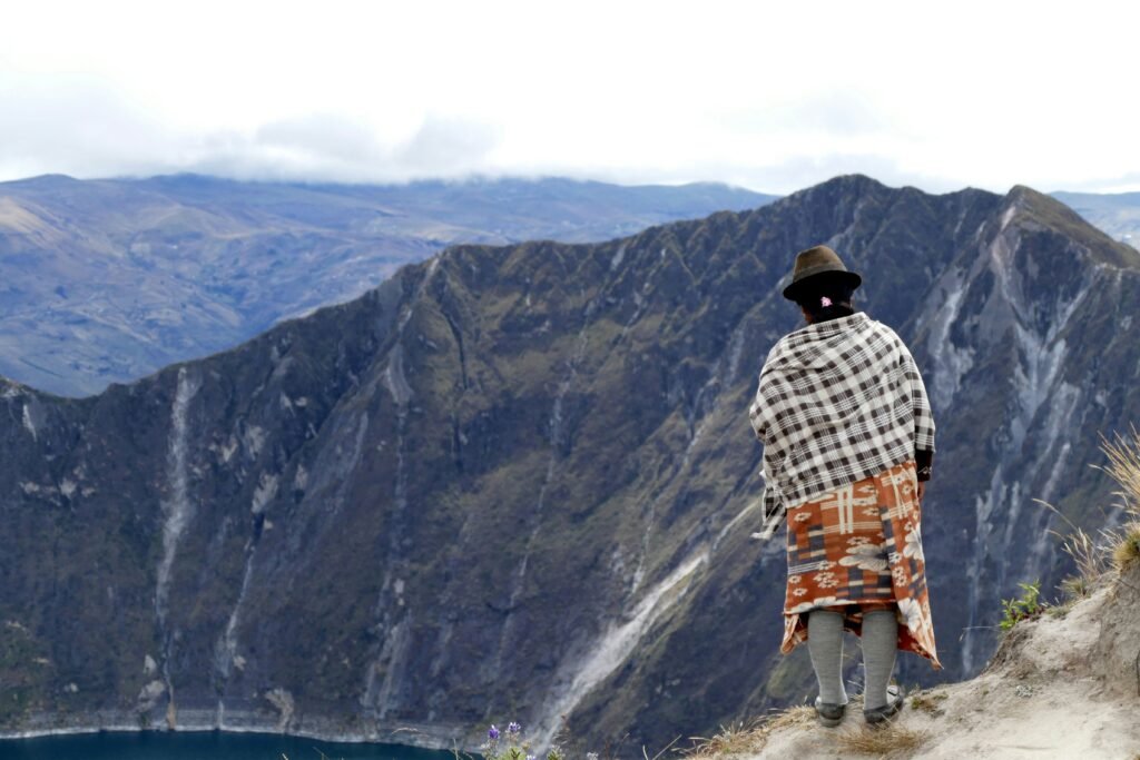
For those choosing to explore the broader multi-day trekking route through the traditional mountain villages of Sigchos, Isinlivi, and Chugchilán, the terrain presents unique navigational challenges. The paths wind across deep river valleys, steep canyons, and exposed ridges where the weather can turn defensive in a matter of minutes.
The Andean climate is incredibly mercurial. A perfectly clear, sun-drenched morning can instantly transform into an afternoon dominated by dense, freezing fog, torrential downpours, or violent lightning storms. When visibility drops below ten metres, identifying the trail markers across the open páramo becomes incredibly difficult.
To mitigate navigational risks, download reliable offline mapping applications onto your smartphone well before departing, ensuring your device is fully charged and backed up by a rugged external power bank. Because cellular signals disappear entirely within the deep gorges, paper topo maps and offline GPS coordinates are vital safety nets.
If the afternoon fog rolls in heavily while you are on an exposed ridge, the safest choice is always to pause, seek shelter if available, or slowly retrace your steps to the last clearly marked junction. Furthermore, be prepared to encounter free-roaming farm dogs guarding livestock along the remote trails. These canines are highly territorial but rarely truly aggressive if handled correctly. Avoid flashing walking poles aggressively or throwing stones; instead, maintain a calm demeanour, speak in a firm, low voice, and walk steadily past the property boundaries without making direct, confrontational eye contact.
The Ecuadorian Amazon.
The most biodiverse place in the world
Safety dynamics for solo adventurers, women, and minorities
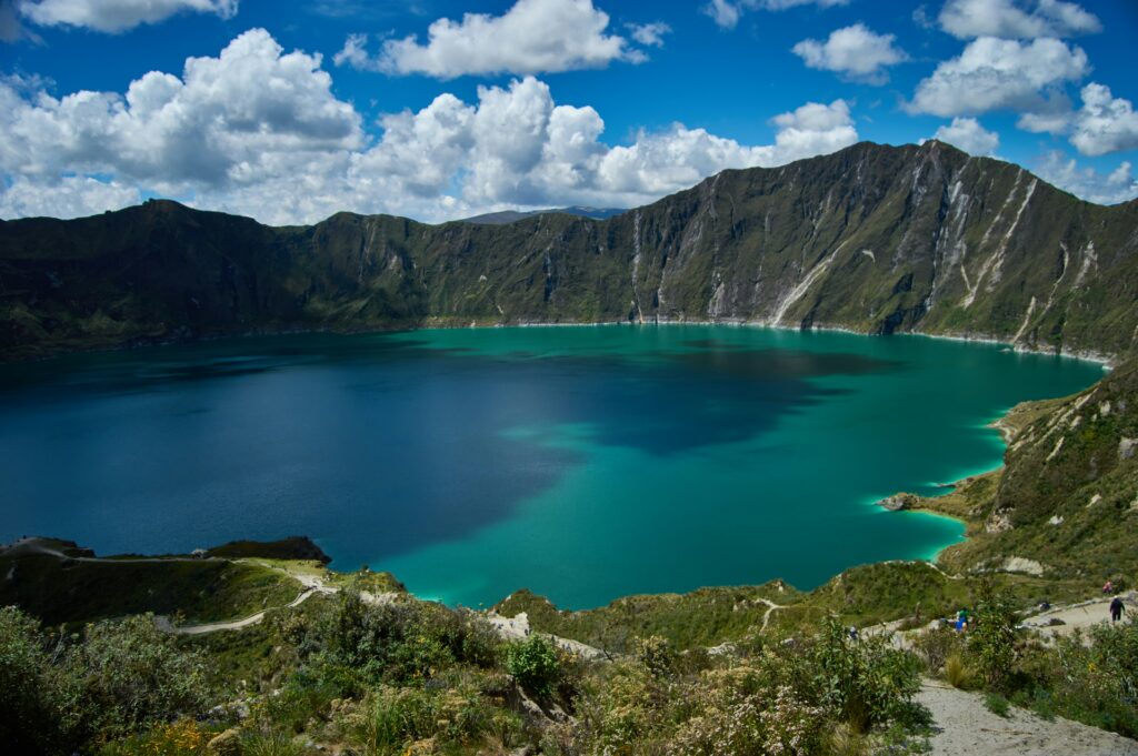
Independent exploration is incredibly rewarding, and the circuit is highly accessible to solo travellers who employ basic situational awareness. For solo women, the communities along the mountain trails are remarkably supportive and safe. Hostels and eco-lodges throughout the villages cater specifically to hikers, creating an open, community-driven atmosphere where it is exceptionally easy to find a walking partner or a shared transport group.
In larger transit hubs and urban centres, female travellers may occasionally experience traditional, male-dominated attention or casual verbal commentary. The most effective response is to maintain firm, clear personal boundaries, avoid engaging with the remarks, and confidently move toward populated commercial spaces or uniformed transit staff.
For ethnic, visible, and religious minorities, the rural highlands are generally peaceful and free from active hostility. The local Kichwa population is historically accustomed to international tourism. You may notice curious, sustained staring in the more remote mountain hamlets, but this stems almost entirely from the homogeneous nature of these isolated communities rather than any underlying animosity.
Engaging warmly with local guesthouse hosts, practising basic Spanish phrases, and respecting traditional cultural norms will almost always result in mutual respect and exceptional hospitality.
Financial security / Navigating a cash-only Andean ecosystem
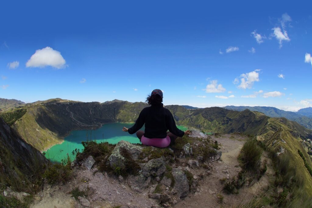
A major operational risk for independent travellers in this region is running completely out of funds. The entire mountain circuit functions almost exclusively on a cash economy. The eco-lodges, small family-run diners, community transport trucks, and trailside fruit stalls do not accept international credit cards, and there are absolutely no automated teller machines available once you leave the major regional cities.
To maintain your financial security, calculate your estimated expenses for accommodation, food, emergency transport, and park fees, then withdraw sufficient cash in US dollars while you are still in Quito or the town centres before setting out.
Carrying significant quantities of cash requires a disciplined security strategy:
- Divide your funds: Never store all your currency in a single wallet or pouch. Distribute your bills across various hidden compartments inside your main pack, your clothing, and a secure money belt worn flat against your body
- Carry small denominations: Ensure the vast majority of your cash consists of small denominations, specifically one-, five-, and ten-dollar bills. Rural vendors and remote mountain guesthouses cannot break twenty- or fifty-dollar notes, and displaying large bills unnecessarily draws unwanted attention to your financial resources
The Ecuadorian Coast.
Where you’ll find the very best food
Practical packing checklist for a secure adventure
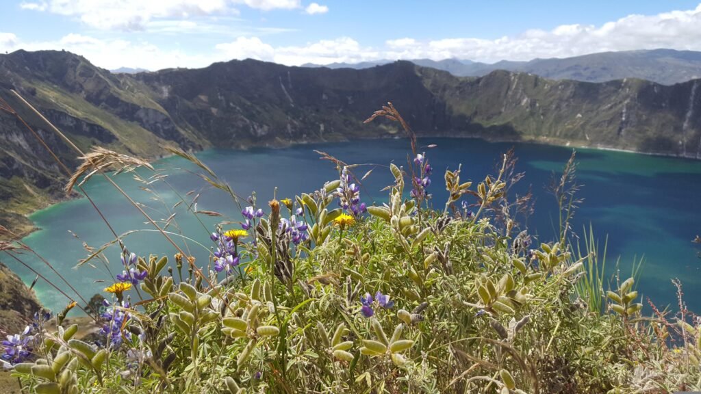
Staying safe in the unpredictable environment of the high Andes means carrying the right gear to handle sudden changes in weather or terrain. Use this targeted checklist to ensure you are fully prepared for the elements:
- Layered technical clothing: Pack high-quality thermal base layers, an insulating fleece, and a completely windproof and waterproof outer jacket to combat drastic afternoon temperature drops
- Sturdy, broken-in footwear: Wear high-traction hiking boots with excellent ankle support to safely navigate the steep, slippery volcanic sand and muddy descents
- Water purification systems: Bring a dependable water filter, purification tablets, or a UV steriliser, as tap water throughout the rural highlands is entirely untreated and unsafe for consumption
- Comprehensive first aid kit: Include blister treatments, high-factor sun protection, oral rehydration salts, and specific remedies for managing altitude symptoms
Final checks and local support systems
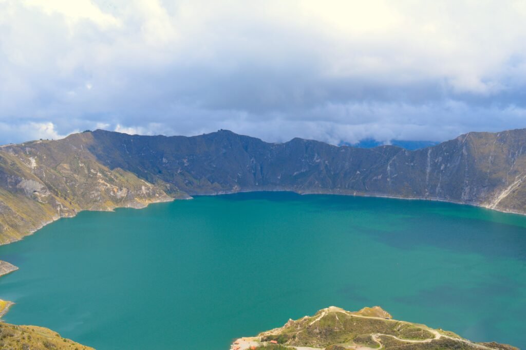
Before you set off into the thin, crisp air of the caldera rim, take a few moments to modernise your safety net. Always inform your guesthouse host or a trusted contact of your exact hiking route and your estimated time of arrival at your next destination. In the event of a medical emergency, a severe weather lockdown, or a trail injury, the nationwide emergency number in Ecuador is 911, which connects directly to centralised medical and rescue dispatch teams.
By prioritising altitude acclimatisation, securing your gear during transit, and respecting the raw power of the mountain weather, you can step onto the trails with absolute confidence. The emerald waters of the crater are waiting, and with the right preparation, your independent journey will be as safe as it is spectacular.
Frequently asked questions about safety at Quilotoa Lake
You should spend at least two to three nights at an intermediate elevation, such as Quito (2,850 metres) or Latacunga (2,760 metres), before ascending to the crater rim. This allows your respiratory system to adapt to the thin mountain air, significantly lowering the risk of headaches, dizziness, and nausea.
Yes, the buses themselves are a dependable and highly characterful way to travel, but the transit terminals in larger cities are primary zones for pickpockets. Stay alert to staged distractions, never let go of your daypack, and ensure the driver issues you a physical luggage tag for any large backpacks stowed in the under-bus cargo hold.
Mountain fog can roll in rapidly, dropping visibility to less than ten metres. If you lose sight of the path, do not wander blindly down into the steep canyons; stop immediately, consult your offline GPS mapping app, and if necessary, slowly retrace your steps to the last clearly identifiable trail marker or village outpost.
These are working farm dogs protecting livestock and property, not aggressive stray animals. Do not throw rocks or wave walking poles aggressively, as this escalates their defensive instincts. Speak in a firm, low voice, keep moving forward along the path, and avoid direct eye contact.
No, the mountain villages operate entirely on a cash economy. Eco-lodges, transport trucks, and small trailside shops do not accept international plastic, and there are no automated teller machines on the loop. You must withdraw enough cash to cover your entire journey before departing from Latacunga or Quito.
Tap water throughout the rural highlands is entirely untreated and unsafe for consumption. To avoid debilitating stomach illnesses, you must filter or chemically purify all water before drinking, or rely on the large containers of purified water provided by your accommodation.
Ecuador.
Pure wonder on the equator.


