
Cotopaxi travel safety guide 2027 / Volcanic monitoring, high altitude, and road intelligence
Comprehensive 2027 safety advice for visiting Cotopaxi National Park, including altitude acclimatisation, crime risks, and cycling security in Ecuador
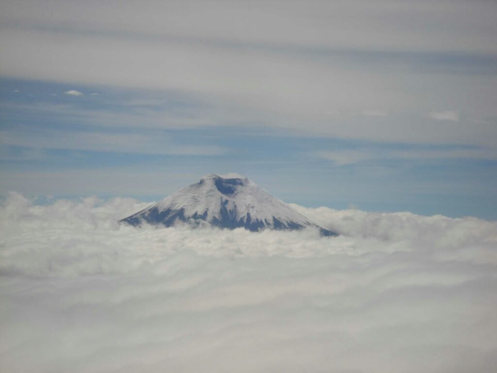
The wild páramo requires sharp preparation and clear-headed decision-making

BEN FINCH
Rising to an impressive elevation of 5,897 metres above sea level, Volcán Cotopaxi is one of the most magnificent natural landmarks in South America. Situated in the Central Andes along the famous Avenue of the Volcanoes, Cotopaxi National Park draws hikers, cyclists, overlanders, and mountaineers from around the globe.
Building upon our popular 2026 Cotopaxi safety guide, this updated edition provides current logistical insights, health recommendations, and security protocols for travellers exploring the Andean highlands in 2027.
While Ecuador experienced shifts in national security enforcement over recent years, the primary highland tourist circuit—encompassing Quito, Cotopaxi, Quilotoa, Baños, and Cuenca—remains established, resilient, and welcoming to international visitors.
Safely exploring Cotopaxi requires managing three primary factors: high-altitude physiology, volcanic monitoring systems, and local transport logistics. By understanding how to prepare for each element, you can enjoy a seamless adventure through this rugged volcanic landscape.
Essential high-Andean intelligence / Cotopaxi safety at a glance
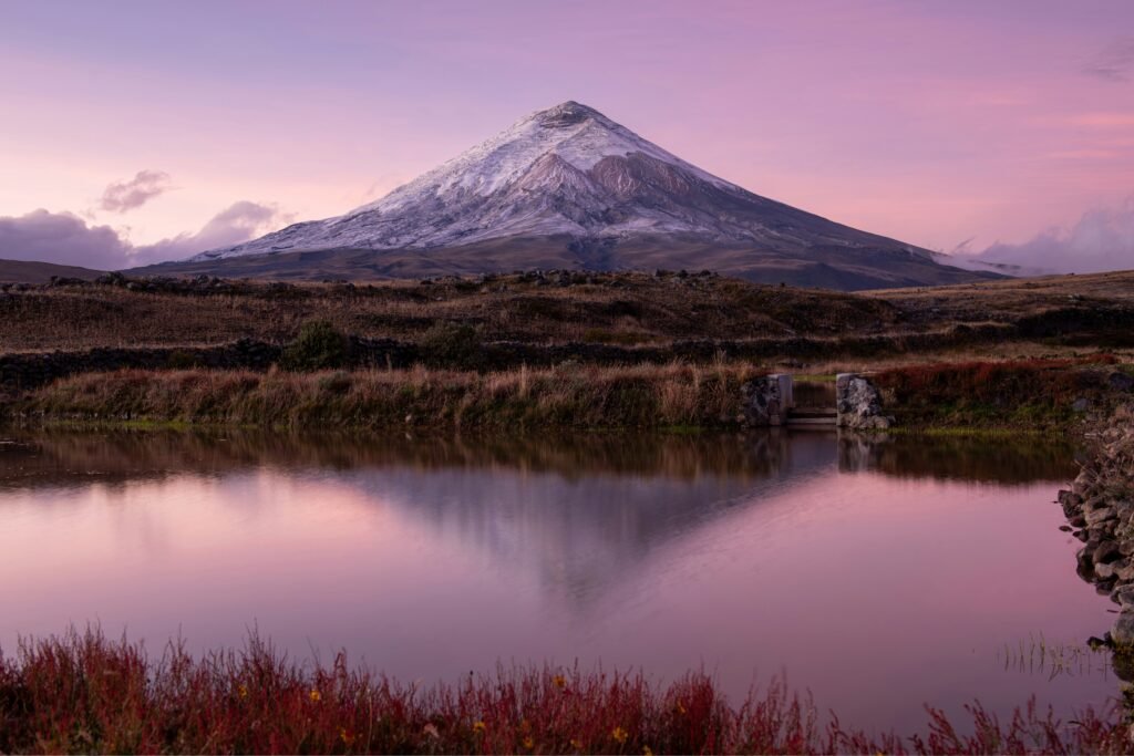
Navigating the windswept slopes of Cotopaxi demands a respect for altitude, real-time volcanic awareness, and straightforward transit tactics. Here is the core safety summary to keep in your back pocket before heading into the Ecuadorian highlands:
- Volcanic vigil: Check the IG-EPN daily alert system before setting off from Quito; status changes determine whether upper glacier trails and the refuge are open to the public
- Acclimatisation priority: Spend two to three days adapting at moderate altitude in Quito (2,850 metres) or Cuenca before tackling the high páramo or ascending towards the José F. Rivas Refuge
- Equatorial sun protection: High elevation and proximity to the equator create extreme UV exposure, requiring broad-spectrum SPF 50 sunscreen, polarised sunglasses, and head coverage even on overcast days
- Transit vigilance: Keep personal belongings on your lap at major bus hubs such as Terminal Quitumbe or Latacunga, avoiding overhead luggage storage on regional routes
- Hydraulic brake checks: Cyclists descending from the 4,600-metre parking area must ensure hydraulic disc brakes are properly bled to prevent air bubble expansion in high-altitude conditions
- Equipped daypacks: Carry tight-fitting goggles and N95 masks to protect against airborne volcanic ash or high-wind dust across the open plains of Laguna de Limpiopungo
Cotopaxi.
The iconic volcano
Volcanic activity and environmental monitoring
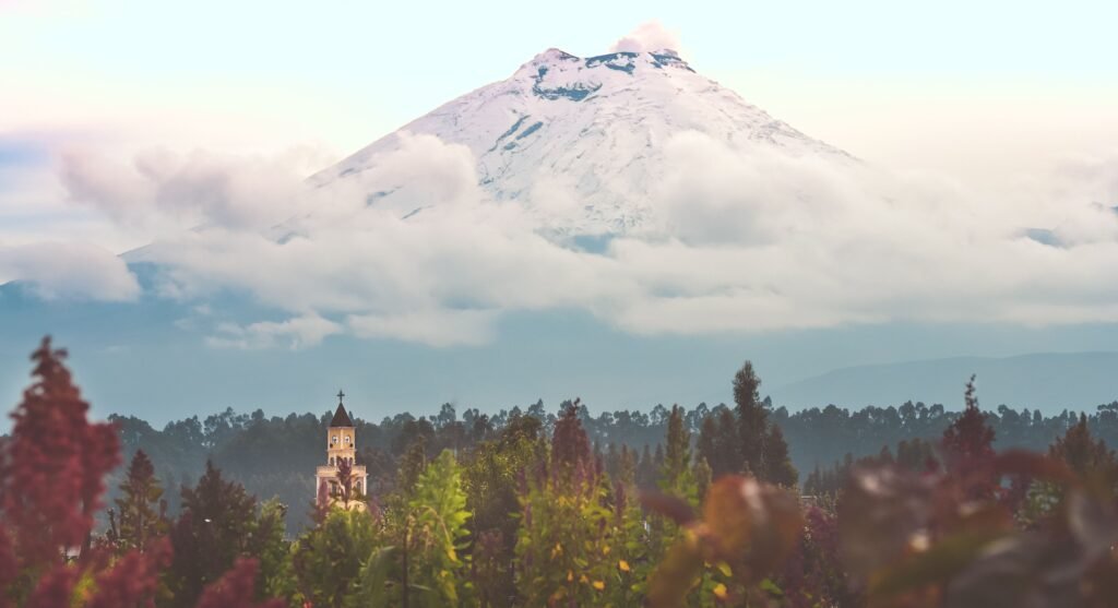
Cotopaxi is an active stratovolcano, capped by an expansive glacier that spans roughly 11 square kilometres. Because an eruption presents risks of ashfall and lahars (volcanic mudflows), the volcano is continuously observed by geologists at the Instituto Geofísico de la Escuela Politécnica Nacional (IG-EPN).
Cotopaxi is among the most thoroughly monitored volcanoes in Latin America, equipped with a network of over 60 real-time instruments measuring seismic activity, thermal output, gas emissions, and ground deformation.
Cotopaxi alert level system
- Green Alert: Normal volcanic baseline. All national park sectors open
- Yellow Alert: Moderate activity / elevated gases. Summit climbs restricted; lower park trails and Laguna de Limpiopungo remain open
- Orange Alert: High activity. Park closed to public access; local evacuation plans active
- Red Alert: Eruption imminent or underway. Total exclusion zone enforced
When planning your excursion from Quito or Latacunga, always check the daily bulletin issued by the IG-EPN or the Ministerio del Ambiente, Agua y Transición Ecológica.
Essential volcanic safety precautions
- Verify official status reports rather than relying on unverified social media rumours
- Check entry conditions at the Control Caspitamba or Control Norte park gates before setting off
- Carry a basic protective kit in your daypack, including N95 dust masks, tight-fitting eye goggles, and a brimmed hat to protect against sudden airborne ash or dust on windy páramo days
- Follow all directives issued by official park rangers (guardaparques) without exception
High-altitude physiology and health protocols
The greatest physical challenge most travellers encounter in Cotopaxi is not crime or volcanic activity, but the extreme altitude. The entrance to Cotopaxi National Park lies at approximately 3,500 metres above sea level, while the popular José F. Rivas Refuge rests at 4,864 metres.
At these elevations, effective oxygen availability is reduced significantly compared to sea level.
Elevation profile across Cotopaxi National Park
- Quito (Baseline Base): 2,850 metres
- Control Caspitamba Gate: 3,500 metres
- Laguna de Limpiopungo: 3,830 metres
- Park Parking Area: 4,600 metres
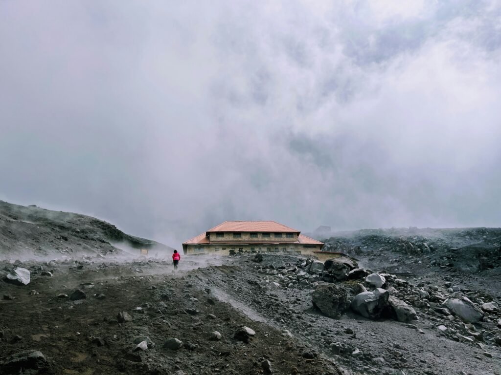
- José F. Rivas Refuge: 4,864 metres
- Cotopaxi Summit: 5,897 metres
Preventing altitude sickness
Acute Mountain Sickness (AMS) can affect anyone, regardless of physical fitness. Symptoms include severe headaches, nausea, dizziness, fatigue, and sleep disturbance.
To prevent AMS from ruining your trip:
- Acclimatise Gradually: Spend at least 48 to 72 hours resting and undertaking low-exertion activities in Quito (2,850 metres) or Cuenca before travelling higher into Cotopaxi National Park
- Hydrate Constantly: The cold, dry mountain air accelerates dehydration. Drink three to four litres of clean, purified water daily
- Pace Your Exertion: Walk deliberately slowly when ascending to the José F. Rivas Refuge. The local phrase despacito (slowly) is your best guiding rule
- Avoid Alcohol and Heavy Meals: Keep meals light and high in complex carbohydrates to ease digestion at altitude
- Recognise Severe Symptoms: If symptoms progress to confusion, extreme shortness of breath while resting, or loss of coordination, these may indicate High Altitude Pulmonary Oedema (HAPO / HAPE) or High Altitude Cerebral Oedema (HACO / HACE). Immediate descent to a lower altitude is the only effective treatment
Solar radiation and weather volatility
Due to Cotopaxi’s location near the equator combined with high elevation, solar UV radiation is exceptionally intense. Apply broad-spectrum SPF 50 sunscreen every two hours, wear polarised sunglasses with UV400 protection, and cover exposed skin.
Weather on the high páramo changes rapidly; a clear morning can quickly turn into freezing rain, dense fog, or sleet by midday. Always pack moisture-wicking thermal base layers, a fleece mid-layer, and a waterproof, windproof outer shell.
The Ecuadorian Sierra.
Get lost in the hills
Crime, security, and transport dynamics
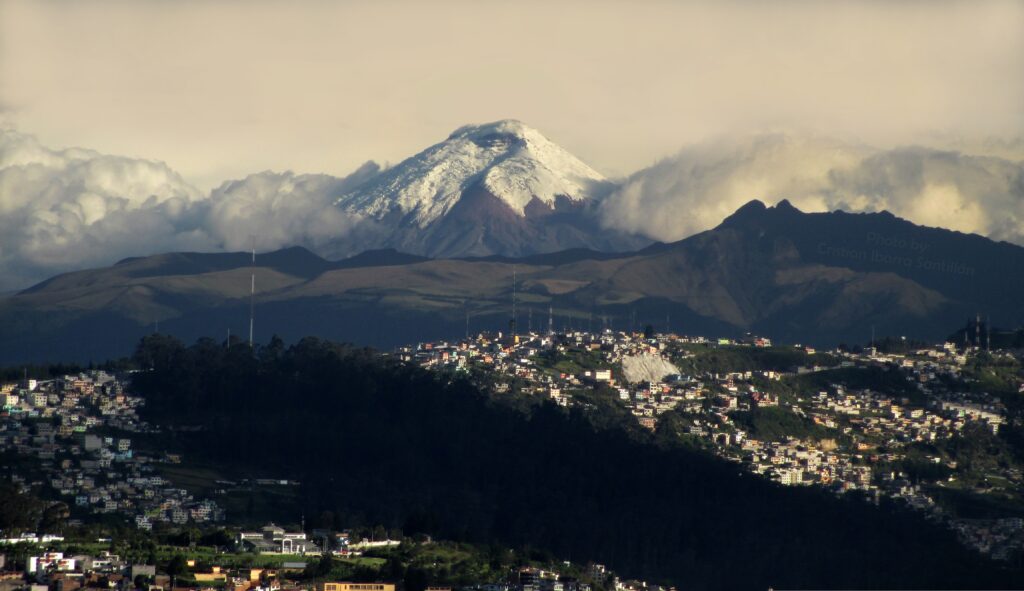
While safety advisories for Ecuador highlight urban security concerns in coastal cities such as Guayaquil or northern border zones near Colombia, the Andean highland tourist trail remains stable and well-patrolled. Violent crime inside Cotopaxi National Park is extremely rare. However, opportunism and petty theft do occur in transit areas.
Personal security guidelines
- Transit Hubs: Keep bags held closely in front of you at bus terminals in Quito (such as Terminal Quitumbe) and Latacunga. Never leave luggage unattended on the floor or in overhead racks on intercity buses
- Vehicle Security: If driving a hire car or campervan to Cotopaxi, leave no valuables visible in seats or footwells. Park in designated, attended parking areas at haciendas or official park visitor centres
- Valuables and Cash: Carry modest amounts of cash in small denominations (one-, five-, and 10-US dollar bills) for park entrance fees, local guides, and small cafes. Keep high-value electronics discreetly packed until you are on trails or inside secure venues
Safety risk overview for Cotopaxi travellers
| Risk Category | Level | Primary Concern | Prevention Focus |
| High altitude | High | AMS, dehydration, hypothermia | Acclimatise for 3 days; layer clothing |
| Volcanic alerts | Moderate | Ash fall, trail closures | Check IG-EPN daily bulletins |
| Petty theft | Low / moderate | Bag snatching in transit | Secure luggage in bus terminals |
| Road hazards | Moderate | Speed bumps, fog, loose rock | Avoid night driving; check brakes |
| Violent crime | Very low | Rare within national park boundaries | Stick to established trails |
The Galápagos.
Ecuador’s Enchanted Isles
Safety considerations for diverse travellers
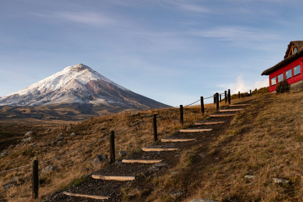
Wheely Tyred aims to equip every traveller with tailored safety knowledge. Cotopaxi is a welcoming destination, but understanding local social dynamics helps ensure a smooth journey.
Solo travellers
Solo travel through Cotopaxi National Park is entirely feasible and rewarding. To maintain optimal safety:
- Inform your accommodation staff in Quito, Machachi, or Latacunga of your daily itinerary before departing for the park
- Ensure you carry a fully charged mobile phone along with a portable power bank. While cellular coverage from major networks such as Claro and Movistar is available near the main park roads, signal strength drops in deep valleys and high ridges
- Consider downloading offline mapping tools or carrying a dedicated satellite communication device for remote treks
Solo female travellers
Female travellers generally report positive experiences in the Andean highlands. Street harassment or catcalling is significantly lower in rural mountain communities than in large coastal cities. When travelling solo:
- Choose registered, highly rated transport providers or join established group tours for trips to the volcano base
- When taking taxis in transit towns such as Machachi or Lasso, use official rideshare applications or ask your hacienda to dispatch a trusted driver
- Connect with fellow travellers in established hostelleries along the Avenue of the Volcanoes to share transport costs and trekking days
Minority and LGBTQ+ travellers
Ecuador was among the early South American nations to include constitutional protections against discrimination based on sexual orientation. It is also one of the most diverse countries in the world.
In urban centres such as Quito and Cuenca, LGBTQ+ culture is visible and accepted. In rural Andean areas around Cotopaxi, social attitudes tend to be traditional and conservative.
Public displays of affection are generally uncommon among locals regardless of orientation. Showing respect for local indigenous Kichwa customs and maintaining modest behaviour will ensure warm hospitality across rural communities.
The Ecuadorian Amazon.
The most biodiverse place in the world
Cycling, bikepacking, and road safety
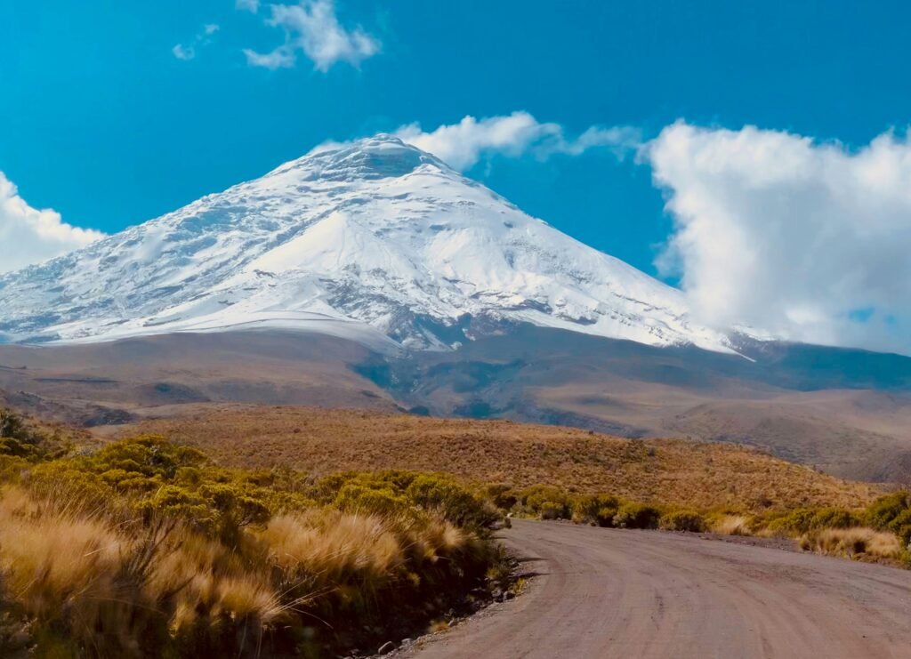
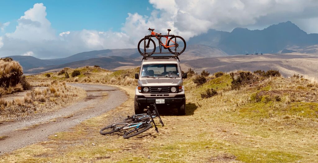
Cycling through Cotopaxi National Park offers breathtaking views of glacier-capped summits and sweeping páramo plains. However, high-altitude cycling demands thorough mechanical preparation and sharp bike-handling skills.
Cycling hazards and mitigation
- Unpredictable Surface Conditions: Main routes through the park vary from smooth dirt roads to deep volcanic ash, coarse gravel, and cobblestones. Wide tubeless tyres (at least 2.1 inches for mountain bikes or 45 mm for gravel bikes) provide necessary traction and puncture resistance
- Steep Descents: Descending from the parking area at 4,600 metres down to Laguna de Limpiopungo requires reliable braking power. Ensure hydraulic disc brakes are fully bled before heading into the park; air bubbles in brake lines expand at high altitude, causing brake lever fade
- Traffic on the Panamericana (E35): The main highway connecting Quito to Cotopaxi carries heavy truck and bus traffic. Watch for unmarked speed bumps (guardavías or resaltos) and narrow shoulders. Avoid riding along E35 after dark due to poor road lighting and high speed differentials
- Weather Exposure: High winds and sudden rain showers can drop air temperatures rapidly toward freezing. Carry waterproof gloves, toe covers, a windproof thermal jacket, and emergency space blankets in your frame bag
Insurance, emergency response, and final checklist
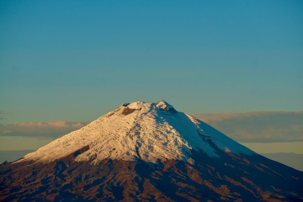
Before embarking on your journey into Cotopaxi National Park, ensure your travel insurance explicitly includes coverage for high-altitude trekking or cycling above 3,000 metres, as many standard travel policies exclude claims above this elevation threshold.
Emergency contact information
- National Emergency Service: Dial 911 anywhere in Ecuador for police, medical, or fire response
- Park Control Office: Save contact details for the Control Caspitamba ranger station upon arrival
- Medical Facilities: Basic medical clinics are available in Machachi and Latacunga. For specialised high-altitude or emergency medical care, transfer to major hospitals in Quito
Pre-departure safety checklist
- Acclimatise for at least 48 hours in Quito or Cuenca
- Verify current volcanic alert status with IG-EPN
- Pack layered cold-weather and waterproof clothing
- Apply SPF 50 sunscreen and pack UV400 sunglasses
- Confirm travel insurance covers high-altitude activities
- Download offline maps and charge personal devices
- Store small USD cash denominations for rural transactions
- Check bicycle brake pads, tyres, and mechanical setup
Cotopaxi remains one of the world’s premier mountain destinations. By respecting the natural environment, pacing your body against the altitude, and following sensible security practices, your journey through Ecuador’s high Andes will be safe, exhilarating, and unforgettable.
The Ecuadorian Coast.
Where you’ll find the very best food
Respect the mountain / Return safely from the high páramo
Read this far?
Cotopaxi is a place of rare, stark majesty where the earth feels active and immediate. Standing on the high volcanic plain surrounded by wild horses and vast tussock grass, it is easy to see why the indigenous Kichwa people have revered this giant for centuries. The mountain gives back tenfold to those who arrive prepared, patient, and tuned in to its shifting moods.
Independent travel across the Ecuadorian Sierra does not require heavy escort or timid caution; it simply requires good judgment and steady preparation. Whether you are catching an early morning bus out of Latacunga, pedalling through loose volcanic gravel, or hiking towards the glacier line, staying safe comes down to keeping your gear tidy, your body hydrated, and your itinerary flexible.
When you treat the altitude with respect and give yourself time to adapt, the high Andes open up completely. The rewards—crisp morning light over frozen peaks, hot cinnamon-spiced canelazo in a rustic refuge, and uninterrupted gravel rides across empty páramo—are well worth every deliberate, slow step.
Pack well, listen to the local park rangers, and take the climb one breath at a time. The mountain will be waiting.
Affiliate Disclaimer: Some of the links on Wheely Tyred are affiliate links. If you click through and make a booking or purchase, we may earn a small commission at no extra cost to you. We only recommend gear, tours, stays, and services we genuinely use, trust, and stand behind — our editorial independence always comes first. These commissions help keep our independent cycling guides and travel stories free to read. You can also buy me a coffee here — thanks for supporting the ride!
Frequently asked questions about Cotopaxi travel safety
It is best to spend at least 48 to 72 hours at a moderate altitude—such as in Quito (2,850 metres) or Cuenca—before entering Cotopaxi National Park. Rushing straight from sea-level coastal areas such as Guayaquil dramatically increases the risk of acute mountain sickness (AMS).
Official updates are published daily by the Instituto Geofísico de la Escuela Politécnica Nacional (IG-EPN) and the Ministry of the Environment. Park gates at Control Caspitamba and Control Norte also post real-time alert levels each morning.
Yes, regular intercity buses depart from Quito’s Terminal Quitumbe towards Latacunga, dropping travellers at the Lasso or Cotopaxi park turn-off along the Panamericana highway. Keep your daypack on your lap during the journey rather than in overhead bins or floor spaces.
Weather on the high plain can shift from clear sunlight to freezing rain within minutes. Pack a moisture-wicking thermal base layer, an insulating fleece, a waterproof and windproof jacket, sturdy hiking boots, and eye protection for dusty, windy conditions.
You can visit lower areas of the park—including Laguna de Limpiopungo and the main visitor centre—without a guide. However, attempting to climb above the José F. Rivas Refuge towards the glacier summit legally requires a licensed ASEGUIM mountain guide.
Gravel and mountain bike riders should use wide tyres (minimum 45 mm for gravel or 2.1 inches for mountain bikes) for traction on loose volcanic ash. Hydrate frequently, check that hydraulic brakes are bled for high elevation, and carry extra windproof layers for long descents.
Ecuador.
Pure wonder on the equator.


