
Deep roots in the volcanic soil / The human history of Santa Cruz Island
Explore the complete historical timeline, early human settlement, and scientific evolution of Santa Cruz Island in the Galápagos archipelago
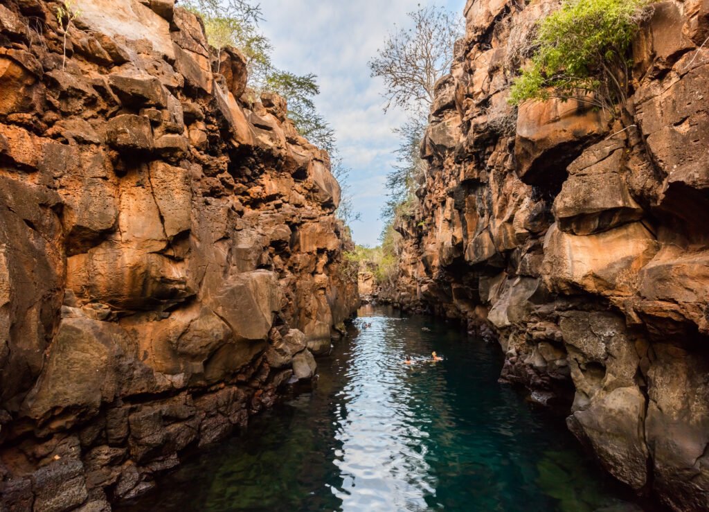
How an island Charles Darwin observed only from afar became the ultimate guardian of his living legacy

BEN FINCH
For most travellers arriving in the Galápagos Islands, the name Charles Darwin is inseparable from the landscape. It is widely assumed that the young naturalist spent weeks roaming every corner of this volcanic realm, meticulously recording observations on every shore. Today, nowhere feels more dedicated to his memory than Santa Cruz Island, home to the world-renowned Charles Darwin Research Station and the central gateway for independent exploration.
Yet behind the modern scientific research facilities and bustling streets of Puerto Ayora lies a remarkable historical irony. The island that now serves as the global focal point of Darwinian conservation was an island Darwin himself barely set foot on. While the archipelago is often imagined as a realm untouched by human hands until modern eco-tourism, the true story of Santa Cruz is a dramatic saga of human survival, forgotten trade routes, wartime strategic bases, and a late-blooming scientific revolution that tied Darwin’s name to the island forever.
Uncovering the human footprint in the central Galápagos
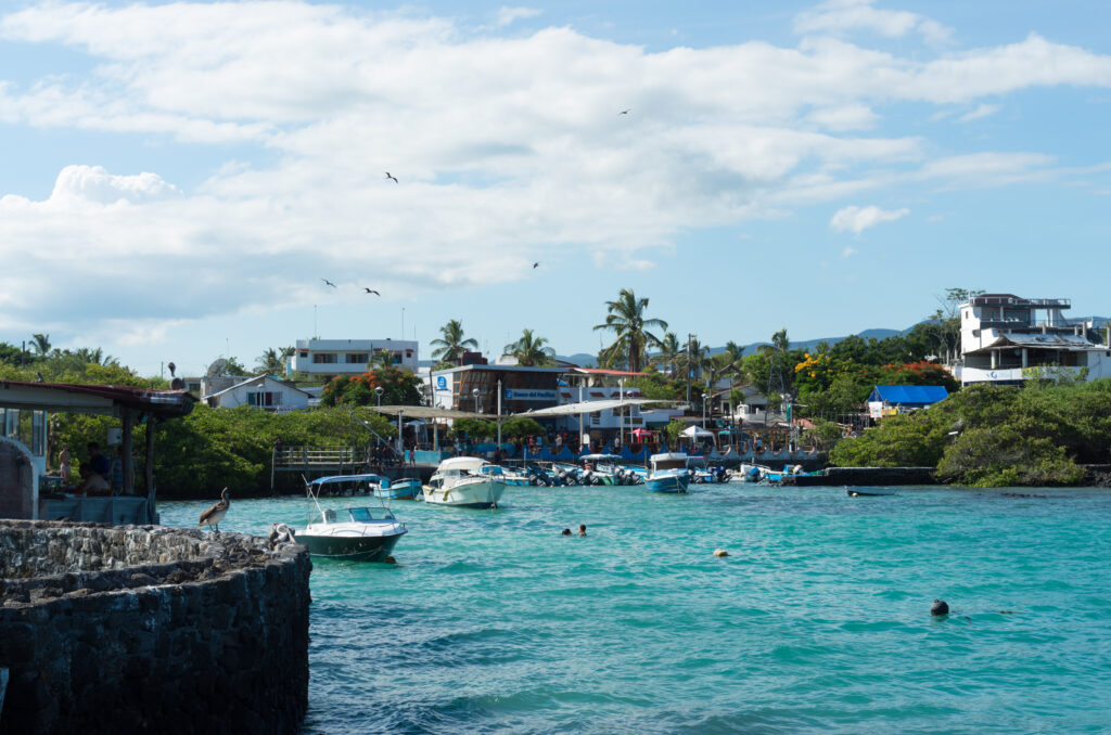
Behind the world-famous giant tortoises and turquoise waters lies a dramatic history of survival, wartime strategy, and unexpected pioneer homesteads. Here is an essential summary of the historical landmarks and insights that shaped the cultural heart of the archipelago.
- The Darwin paradox: Charles Darwin barely set foot on Santa Cruz during his 1835 voyage, yet the island eventually transformed into the international headquarters for preserving his scientific legacy
- Early lichen trails: Long before agricultural homesteads took root, 19th-century harvesters cut the island’s earliest inland paths while gathering wild lichen used to manufacture purple dyes for European textiles
- Highland agricultural havens: Driven inland by the lack of coastal fresh water, Ecuadorian and European settlers established fertile farms in misty highland areas like Bellavista and Santa Rosa during the 1920s and 1930s
- World War II military footprint: The construction of US Beta Base on neighbouring Baltra Island provided the runway infrastructure for the main airport serving Santa Cruz today and inspired the local naming of Las Bachas beach
- The conservation revolution: Established in 1959 on the shores of Academy Bay, the Charles Darwin Research Station rescued the Galápagos giant tortoise from extinction through pioneering breeding and repatriation programmes
- The central island artery: The paved highway stretching from the Itabaca Canal down to Puerto Ayora follows historic pioneer tracks, linking the quiet northern channel with the bustling southern harborfront
The Galápagos.
Ecuador’s Enchanted Isles
An island of many names
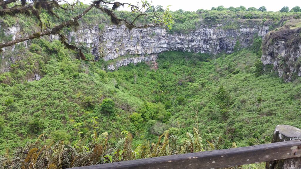
Long before Santa Cruz became the administrative and transport engine of the Galápagos, it bore a succession of names that reflected the confusion, isolation, and maritime struggles of early Pacific navigation. Although Spanish charts eventually formalised the name Santa Cruz, British buccaneers and naval officers throughout the 18th and 19th centuries knew it almost exclusively as Indefatigable, named after the Royal Navy frigate HMS Indefatigable. Over the centuries, various mariners also labelled it Norfolk, Porter, and Chávez.
Following the accidental discovery of the archipelago by Fray Tomás de Berlanga, the Bishop of Panamá, in 1535, Santa Cruz remained entirely uninhabited for centuries. Whilst modern archaeological surveys have investigated potential pre-Columbian visits by indigenous South American seafaring cultures, analysis of sediment layers and excavated coastal sites confirms that no permanent human settlements existed prior to the 19th century.
The primary obstacle to human life was simple: water. Unlike San Cristóbal or Floreana, which possessed accessible freshwater springs in their higher elevations, Santa Cruz was a formidable, dry maze of dense cactus forests and razor-sharp lava fields. Early mariners viewed Academy Bay—the site of present-day Puerto Ayora—not as a place to build a home, but as a harsh anchorage where ships might briefly stop to hunt giant tortoises for meat before moving on.
The Darwin paradox
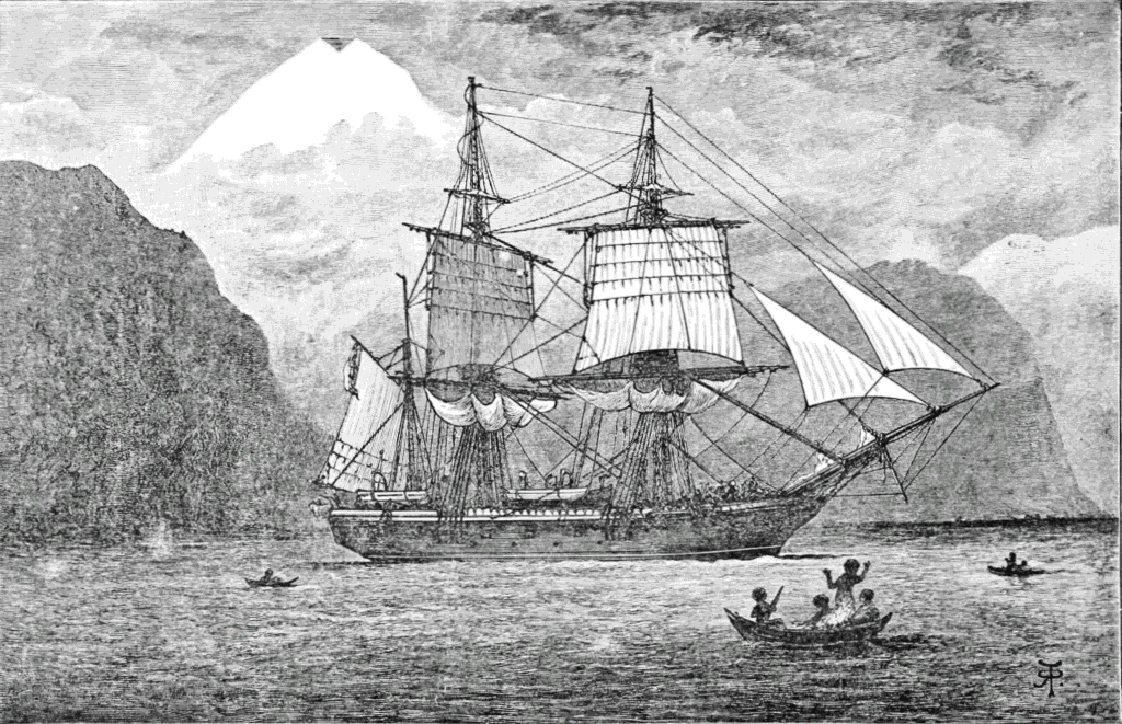
It is within this dry, impenetrable landscape that we encounter the central paradox of Santa Cruz history. When HMS Beagle sailed into Galápagos waters in September 1835, Charles Darwin spent nineteen crucial days ashore conducting field studies across the archipelago. However, his famous terrestrial explorations were concentrated almost entirely on four specific islands: San Cristóbal, Floreana, Isabela, and Santiago.
Santa Cruz was, for Darwin, an island observed predominantly from the deck of HMS Beagle as the vessel navigated the treacherous currents of the central archipelago. In his field notebooks and published journal, The Voyage of the Beagle, Indefatigable receives only passing mentions regarding its geological profile and position relative to the surrounding islets. He did not conduct the extensive botanical, geological, or zoological collections here that he performed elsewhere.
It is a wonderful historical twist that the island Darwin largely bypassed would eventually become the world capital for studying and protecting the very ecosystem he made famous. The island he viewed from offshore transformed over the course of a single century into the primary sanctuary dedicated to preserving his scientific legacy.
The Ecuadorian Sierra.
Get lost in the hills
Lichen, leather, and early pioneers
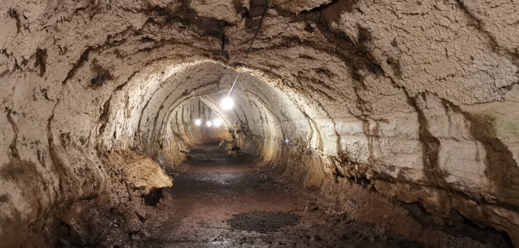
As the global whaling industry waned in the late 19th century, a new wave of enterprise brought the first permanent human residents to Santa Cruz. The earliest commercial extraction on the island centred on an unexpected resource: a specialised lichen known as Rocella tinctoria.
Gathered from the arid lowlands, this lichen was exported to continental Europe, where it was processed to yield valuable purple textile dyes. Lichen harvesters carved rudimentary paths from the coastline into the cloud-covered highlands, laying down the primary trail systems that would later define the island’s interior transport.
By the 1920s and 1930s, foraging gave way to permanent agricultural settlements. A wave of settlers from mainland Ecuador arrived alongside small groups of European immigrants, predominantly from Norway, Germany, and Switzerland. Lured by promises of free land and complete self-sufficiency, these pioneers encountered exceptionally demanding conditions.
Finding the coastal fringe far too arid for cultivation, settlers pushed inland to the humid highland zones of Bellavista and Santa Rosa. There they discovered that the volcanic soil, nurtured by the heavy seasonal fog known as the garúa, was remarkably fertile. They cleared dense Scalesia forests to plant coffee, sugarcane, citrus, and avocados, whilst introducing cattle to the lush green hillsides. Survival required a dual existence: highland farms produced food and fresh water, whilst coastal outposts allowed settlers to fish and await infrequent supply ships from Guayaquil.
The Second World War and the transformation of Baltra
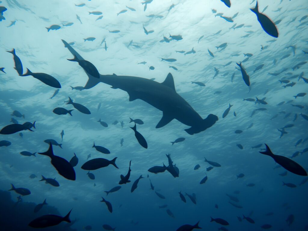
The geographical and economic trajectory of Santa Cruz changed permanently during the Second World War. Following the bombardment of Pearl Harbor, the United States entered an agreement with the Ecuadorian government to establish a strategic military installation on Baltra Island, a flat, arid islet separated from the northern tip of Santa Cruz by the narrow Itabaca Canal.
Designated as Beta Base, the facility was constructed to guard the Pacific approaches to the Panama Canal. Thousands of American military personnel were stationed on this remote outpost, constructing heavy runways, barracks, water pipeline systems, and a deep-water dock facility.
The wartime footprint remains visible to this day. Abandoned military barges left near the northern beaches of Santa Cruz gave rise to the name Las Bachas, a local phonetic adaptation of the word barges. More importantly, when the United States military dismantled the base and returned the property to Ecuador, the heavy concrete runway provided the foundation for the region’s main commercial airport. This infrastructure instantly opened Santa Cruz to the outside world, setting the stage for modern travel, scientific research, and conservation management.
The Ecuadorian Amazon.
The most biodiverse place in the world
The dawn of conservation and the Charles Darwin Research Station
In 1959, marking the centenary of the publication of Charles Darwin’s On the Origin of Species, an international coalition of scientists and conservationists joined forces with the Ecuadorian government to safeguard the archipelago’s unique biodiversity. Ecuador officially declared 97 per cent of the archipelago’s land mass a protected national park, and the Charles Darwin Foundation was created under the auspices of UNESCO and the International Union for Conservation of Nature.
Santa Cruz was selected as the operational headquarters for this global initiative. The construction of the Charles Darwin Research Station on the rocky shores of Academy Bay transformed the small village of Puerto Ayora into an international crossroads for research scientists, environmental policy experts, and field biologists.
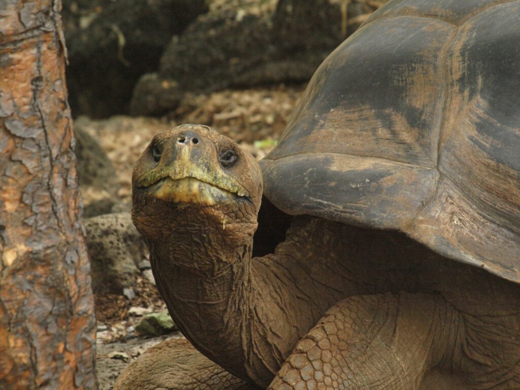
The research station gained global recognition through its captive breeding and restoration programmes for Galápagos giant tortoises. For four decades, the facility was home to Lonesome George, the final known individual of the Pinta Island tortoise subspecies, who became a worldwide symbol for species conservation until his death in 2012. Today, juvenile tortoises bred at the station continue to be repatriated to their ancestral volcanic islands, systematically restoring ecosystems that were severely degraded during the era of early maritime exploitation.
Navigating the modern crossroads
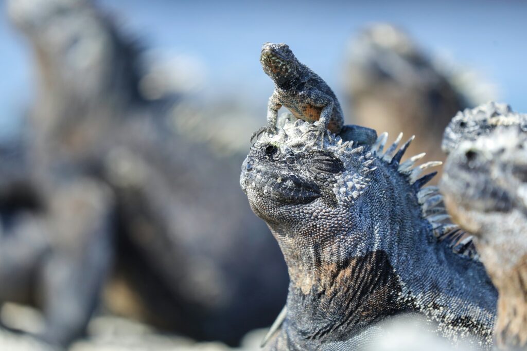
Today, the original dirt tracks cut by 19th-century lichen harvesters have been replaced by the long, paved highway that bisects Santa Cruz, connecting the Itabaca Canal ferry crossing in the north to the busy harborfront of Puerto Ayora in the south.
As the island has developed into the principal population and service centre of the Galápagos, it faces the ongoing challenge of balancing community growth with strict environmental protection. For the modern visitor, exploring Santa Cruz offers far more than an encounter with extraordinary wildlife. It provides an opportunity to experience an intricate human history—one where an island Charles Darwin observed only from afar eventually grew to become the ultimate sanctuary for his scientific heritage.
The Ecuadorian Coast.
Where you’ll find the very best food
Frequently asked questions about the history of Santa Cruz Island
Surprisingly, no. During his 1835 survey aboard HMS Beagle, Darwin focused his terrestrial research almost entirely on San Cristóbal, Floreana, Isabela, and Santiago. He observed Santa Cruz—then known to the British Admiralty as Indefatigable—primarily from offshore. It remains a fascinating historical twist that the island he bypassed later became the global capital for studying and protecting his evolutionary work.
The principal obstacle was a total lack of accessible fresh water along the coast. Unlike neighbouring islands with highland springs, the arid lowlands of Santa Cruz presented a formidable maze of cactus scrub and sharp basalt. Permanent human habitation only became viable when 20th-century pioneers ventured into the humid interior to tap into seasonal mountain fog and fertile volcanic soil.
The name is a local phonetic adaptation of the English word barges. Following the Second World War, the American military abandoned several heavy landing barges along the northern shores of Santa Cruz, leading local fishermen and residents to refer to the beach by that name.
During the Second World War, the United States built Beta Base on Baltra Island, an arid islet separated from northern Santa Cruz by the narrow Itabaca Canal. When the military decommissioned the base, the concrete airstrip was handed over to Ecuador, creating the primary commercial airport that opened Santa Cruz to international scientists, conservationists, and travellers.
The earliest paths into the interior were carved out during the late 19th century by harvesters collecting Rocella tinctoria, a specialised lichen growing in dry lowlands. The harvested lichen was shipped to continental Europe to yield valuable purple dye, leaving behind rudimentary trails that later guided agricultural settlers into the misty highlands.
Settlers arriving in the 1920s and 1930s established farms in highland areas such as Bellavista. They cleared dense Scalesia forests to cultivate coffee, sugarcane, citrus fruits, and avocado trees, while raising cattle in pastures watered by the heavy seasonal mist known as garúa. Their highland harvests were carried down to coastal outposts to trade with visiting cargo ships from Guayaquil.
Ecuador.
Pure wonder on the equator.


