
How to summit Chimborazo / A guide to Ecuador’s highest peak
Volcán Chimborazo Summit Guide
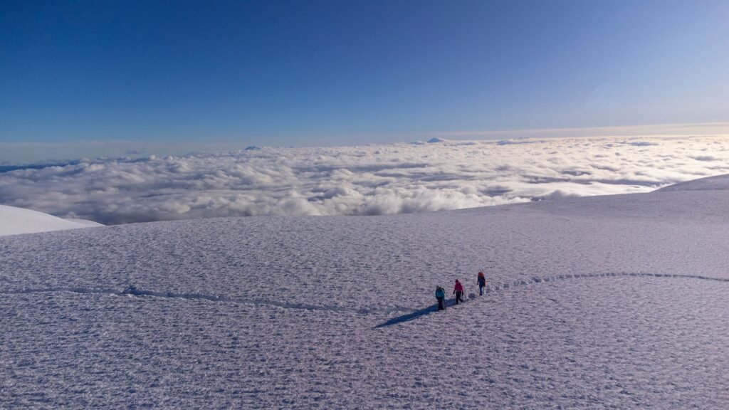
Reach the farthest point from Earth’s centre

BEN FINCH
Standing atop the glaciated dome of Volcán Chimborazo at 6,263 metres places a climber further from the centre of the Earth than standing on the summit of Mount Everest. Because the Earth bulges around its equator due to planetary rotation, Chimborazo’s location at latitude 1°S gives its peak the physical distinction of being the farthest point on the Earth’s surface from the core.
While technically classified as a non-prescriptive, non-technical glacier climb under ideal conditions, ascending into the thin atmosphere above 6,000 metres is a serious mountaineering undertaking. Climbers encounter 45-degree snow slopes, freezing temperatures reaching -12°C, and changing glacial terrain that demands total competence with crampons and ice axes.
Climbing Volcán Chimborazo requires UIAA Grade PD+ to AD- glaciated alpine skills, a non-negotiable 10 to 14 days of prior high-altitude acclimatisation in Ecuador, and an accredited local mountain guide. The standard ascent via the El Castillo Ridge route gains roughly 1,413 metres of elevation over 12 to 14 hours of continuous physical output.
Essential highlights of climbing Ecuador’s highest peak
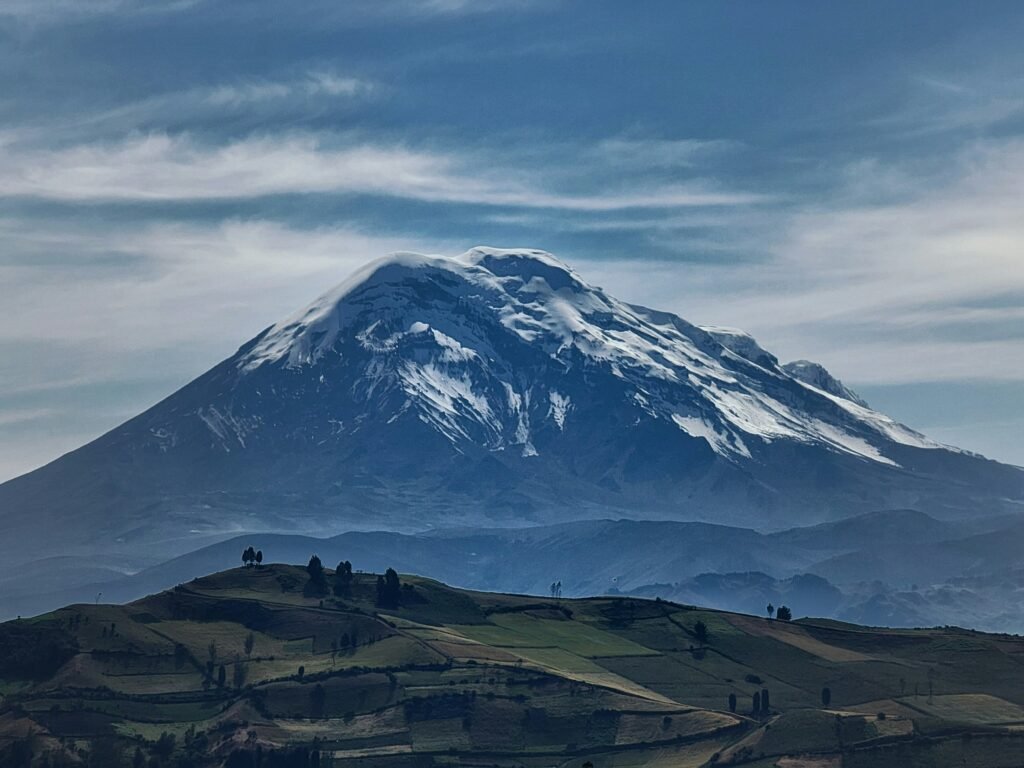
Scaling Volcán Chimborazo requires meticulous logistical preparation, physical endurance, and deep respect for the high-altitude páramo ecosystem. Below are the essential takeaways for planning a safe, independent, and successful expedition to the farthest point from the Earth’s centre.
- Farthest point from Earth’s centre: Standing at 6,263 metres, Chimborazo’s location along the equatorial bulge makes its summit the furthest point on the Earth’s surface from the core
- El Castillo Ridge route: Climate-driven glacial retreat has made the historic El Corredor chute prone to rockfall, establishing the steeper El Castillo Ridge as the standard safe route
- The 14-day acclimatisation ladder: Attempting this peak without prior warm-up ascents on lower peaks such as Volcán Rucu Pichincha, Carihuairazo, and Cotopaxi significantly increases the risk of severe altitude sickness
- Mandatory certified guides: Ecuadorian national park regulations mandate that all climbers on glaciated peaks hire accredited mountain guides certified by ASEGUAM or the UIAGM, with a strict maximum ratio of two climbers per guide
- Midnight alpine timeline: Teams depart Refugio Hermanos Carrel around 23:00 to navigate freezing 45-degree snow slopes before solar heating destabilises ice and rock structures by 08:00
- High-altitude gear discipline: Sub-zero temperatures demand B2 or B3 double boots, 12-point steel crampons, Category 4 glacier glasses, and insulated thermos flasks to prevent frozen hydration supplies
- Accessible páramo alternatives: Non-climbers and mountain bikers can explore trails to Condorcocha Lagoon at 5,100 metres or tackle gravel downhill descents through native vicuña habitats
| Summit Elevation | 6,263 metres |
| Location | Reserva de Producción de Fauna Chimborazo, Ecuador |
| Standard Route | El Castillo Ridge Route |
| Technical Difficulty | UIAA Grade PD+ to AD- (glacier slopes up to 45°) |
| Mandatory Guide Ratio | Maximum 1:2 guide-to-climber ratio (ASEGUAM / UIAGM certified) |
| Prime Climbing Windows | June to July and December to January |
| Required Acclimatisation | 10 to 14 days of progressive Andean climbing |
Volcán Chimborazo.
Stand at the furthest point from the centre of the Earth
Understanding the four peaks of Volcán Chimborazo
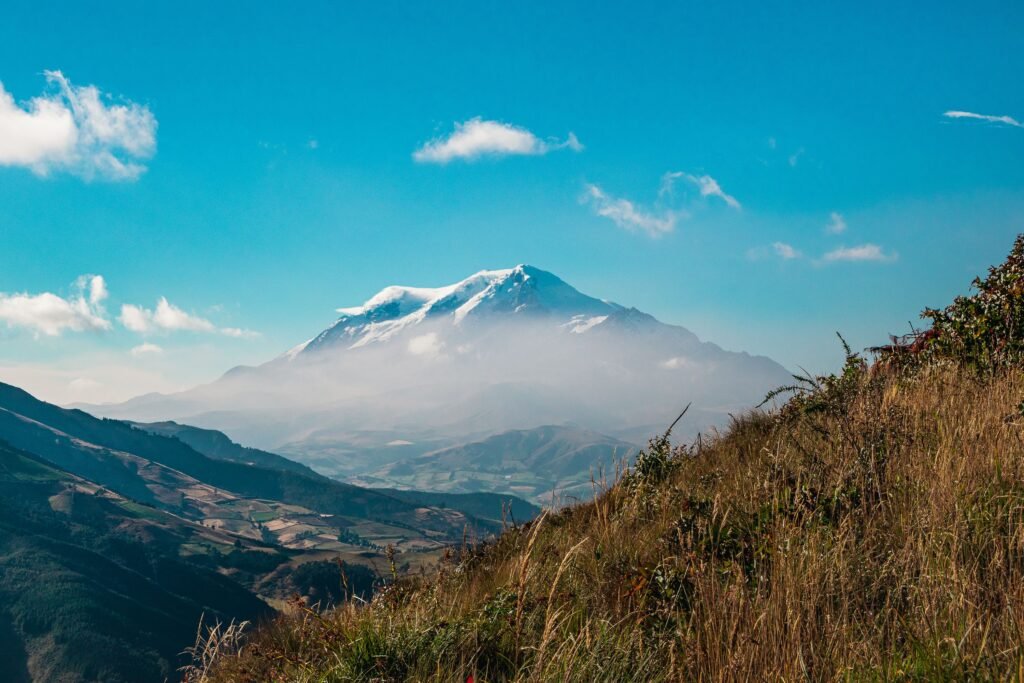
Volcán Chimborazo is a massive compound stratovolcano comprising four distinct summits aligned along an east-west ridge. Understanding this geography is vital, as many climbers reach the initial ridge top without completing the traverse to the true high point.
- Cumbre Veintimilla: Elevation 6,230 metres. This is the western false summit that climbers hit first upon topping out on the main glaciated wall
- Cumbre Whymper (Main Summit): Elevation 6,263 metres. Named after British mountaineer Edward Whymper, who completed the first recorded ascent in 1880 alongside Italian guides Jean-Antoine Carrel and Louis Carrel
- Cumbre Politécnica: Elevation 5,820 metres. A secondary peak located along the central ridge system
- Cumbre Nicolás Martínez: Elevation 5,570 metres. An eastern peak named in honour of the pioneering Ecuadorian mountaineer
Glacial evolution and route shifts
Historically, the standard route ascended directly up a wide couloir known as El Corredor. However, climate-driven glacial retreat has exposed loose, unstable volcanic scree above this chute. Rockfall hazards in El Corredor have made the historic line prohibitively dangerous. Modern certified mountain guide associations now route almost all teams along the safer, albeit steeper, El Castillo Ridge.
Step-by-step breakdown / The El Castillo Ridge route
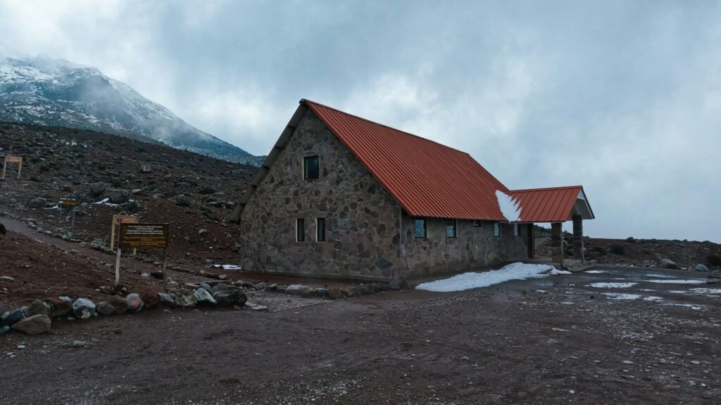
The El Castillo route offers a logical, structured line up the mountain’s side, relying on a night-time alpine start when freezing temperatures stabilise snowpack and loose rock.
Refugio Carrel to high camp
- Elevation Gain: 4,850 metres to 5,300 metres
- Terrain: Moraine trail and rocky volcanic paths
The journey begins at Refugio Hermanos Carrel. Climbers follow a marked trail across the high alpine desert landscape, ascending rocky moraine switchbacks toward the base of the El Castillo formation.
Some teams choose to set up a high camp here at 5,300 metres to shorten summit night by approximately two hours, while others launch their bid directly from Refugio Carrel.
High camp to El Castillo Base
- Elevation Gain: 5,300 metres to 5,500 metres
- Terrain: Loose volcanic scree, rock scrambles, and hard-packed snow
Navigating around the base of the prominent rock tower known as El Castillo (The Castle), climbers manoeuvre through scree and minor rock scrambling.
Helmets are mandatory throughout this section due to occasional wind-driven stonefall off the upper buttresses.
Glacier ascent to Cumbre Veintimilla
- Elevation Gain: 5,500 metres to 6,230 metres
- Terrain: Heavily glaciated snow slopes from 35 to 45 degrees
Upon reaching the glacier toe near El Castillo, teams strap on crampons and rope up. The route climbs steadily up the glaciated dome.
Climbers maintain a rhythmic step-and-breathe pattern (paso andino) up continuous snow ramps, navigating around crevasses. The steepest pitches require deliberate crampon placement and confident front-pointing.
Final traverse to Cumbre Whymper
- Elevation Gain: 6,230 metres to 6,263 metres
- Terrain: Wind-sculpted snow plateau and undulating ridges
Reaching Cumbre Veintimilla is a major milestone, but it is not the true summit. From Veintimilla, climbers must descend slightly into a broad, wind-sculpted snow saddle before ascending the final plateau to Cumbre Whymper.
This traverse takes an additional 30 to 45 minutes across deep, powdery snow in an environment where oxygen levels are roughly half those at sea level.
The Ecuadorian Sierra.
Get lost in the hills
Mandatory acclimatisation itinerary / 10 to 14 days
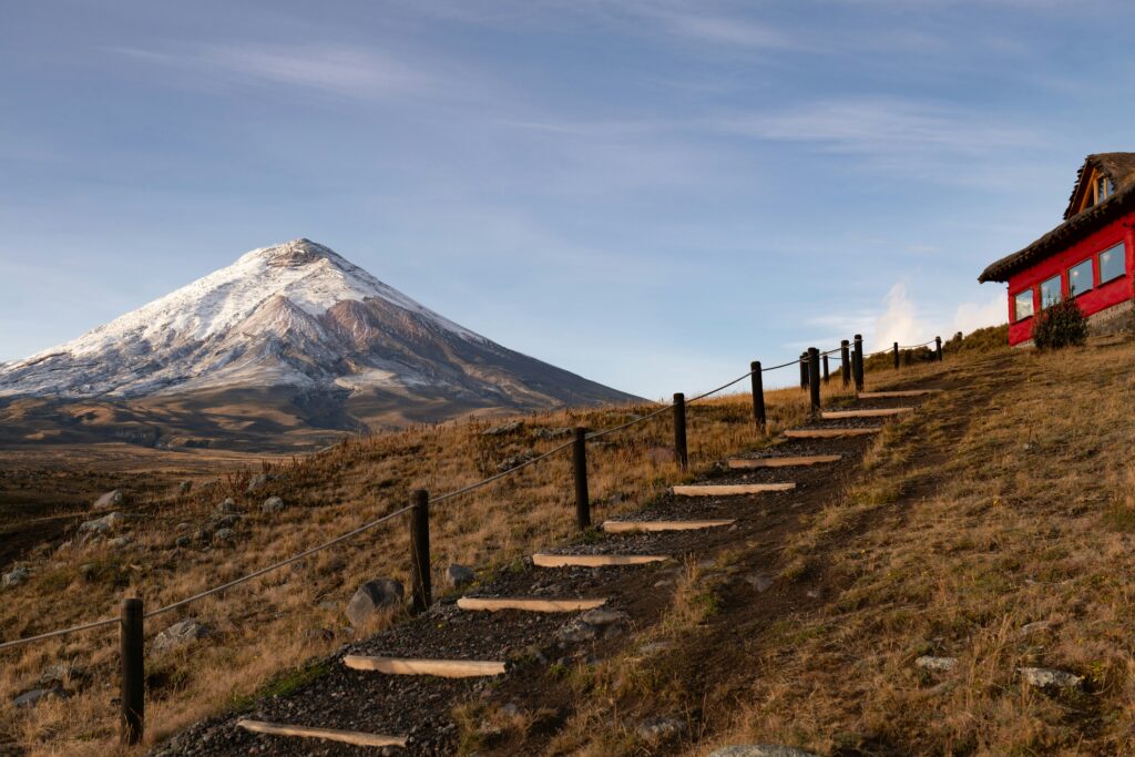
Attempting to climb Volcán Chimborazo without progressive physiological adaptation is the primary cause of summit failure and severe altitude illness.
Red blood cell production requires time to adapt to sustained elevation. A successful acclimatisation schedule utilises a ladder system, gradually increasing altitude thresholds across smaller Ecuadorian peaks before attempting 6,000 metres.
| Day | Location / Activity | Target Elevation |
| Days 1–2 | Arrival in Quito; light walking and rest | 2,850 metres |
| Day 3 | Day hike on Volcán Rucu Pichincha | 4,696 metres |
| Days 4–5 | Transfer to Baños de Agua Santa or Riobamba; acclimatisation hike on Volcán Corazón | 4,790 metres |
| Days 6–7 | Training climb on Volcán Carihuairazo or Illiniza Norte | 5,018 metres / 5,126 metres |
| Days 8–9 | Two-day summit expedition on Volcán Cotopaxi | 5,897 metres |
| Days 10–11 | Rest, hydration, and gear checks in Riobamba | 2,750 metres |
| Day 12 | Transfer to Reserva de Producción de Fauna Chimborazo; rest at Refugio Carrel | 4,850 metres |
| Day 13 | Midnight summit attempt on Volcán Chimborazo | 6,263 metres |
| Day 14 | Reserve weather / contingency day | N/A |
Summit night timeline and conditions
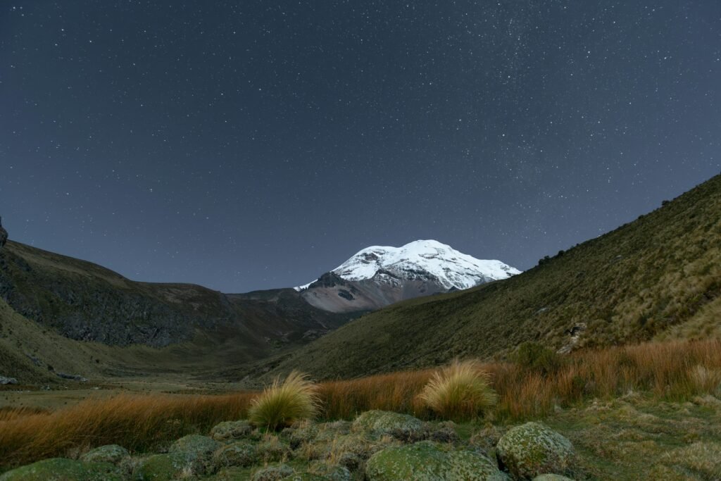
A successful climb on Chimborazo depends on precise timing. Teams must climb during the coldest hours of the night when frozen snow bridges remain stable and loose rocks are locked in ice.
- 22:00: Wake-up call at Refugio Carrel or High Camp; consuming hot drinks and simple carbohydrates
- 23:00–00:00: Departure into the dark. Climbers begin threading up the lower moraine trails by headlamp
- 02:30: Arrival at the base of El Castillo; donning crampons, harnesses, and roping up at the glacier margin
- 06:30: Topping out on Cumbre Veintimilla just as dawn breaks over the eastern Andes
- 07:15: Arrival at Cumbre Whymper (6,263 metres)
- 08:00: Mandatory turn-around time. Teams must commence their descent regardless of location to clear the lower slopes before solar heating increases stonefall risk around El Castillo
- 11:30: Return to Refugio Carrel for gear packing and transfer down to Riobamba or Quito
The Galápagos.
Ecuador’s Enchanted Isles
Logistics, costs, and certified guides
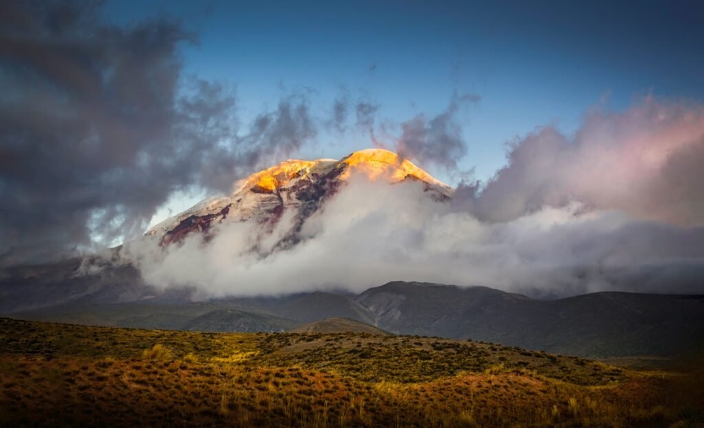
Ecuadorian national park regulations strictly forbid unguided ascents on glaciated peaks above 5,000 metres. All climbers must hire an accredited mountain guide holding credentials from ASEGUAM or the UIAGM / IFMGA international body.
Mandatory ratios and operational budget
Regulations mandate a strict maximum ratio of one mountain guide to two climbers (1:2) on Volcán Chimborazo. For single climbers seeking maximum safety margins, a 1:1 ratio is recommended.
- Certified Mountain Guide (1:2 ratio): $350 to $500 per person for a two-day package
- Refugio Accommodation & Meals: $80 per person per night at Refugio Carrel
- Technical Equipment Rental: $80 to $120 for a full kit (double boots, crampons, ice axe, harness, helmet)
- Park Entry: Entry to Reserva de Producción de Fauna Chimborazo is free, but registration at the guard station is mandatory
Comprehensive gear checklist
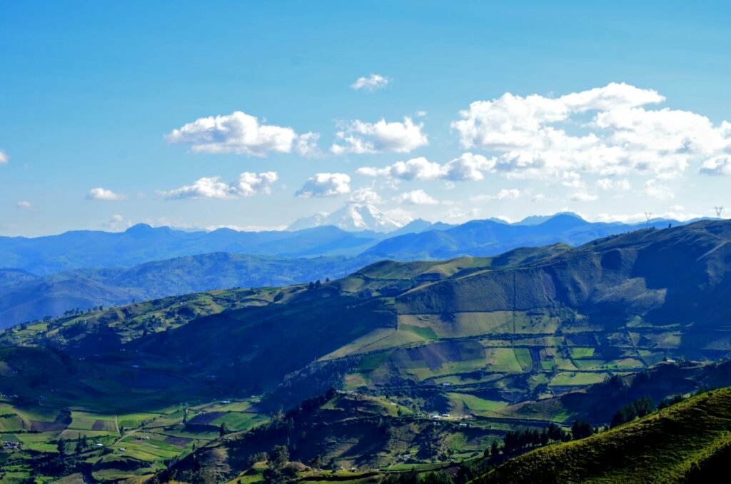
Temperatures near the summit frequently drop below -10°C, with severe wind chill across exposed ridges. High-quality technical clothing and footwear are non-negotiable.
Technical climbing hardware
- B2 or B3 rated double mountaineering boots (insulated leather or plastic)
- 12-point steel mountaineering crampons (fitted and tested to boots prior to departure)
- Ice axe with wrist leash (55 cm to 65 cm depending on climber height)
- Mountaineering harness with adjustable leg loops
- High-altitude climbing helmet
- Two locking carabiners and one dynamic locking lanyard
Apparel layering system
- Base Layer: Heavyweight merino wool tops and bottoms
- Mid-Layer: Insulated fleece jacket and breathable grid-fleece trousers
- Insulation Layer: Heavy down parka rated to -15°C with an adjustable hood
- Outer Shell: Waterproof, windproof hardshell jacket and trousers (Gore-Tex or equivalent)
- Handwear: Lightweight liner gloves, heavy insulated mountaineering gloves, and windproof outer mittens
Essential accessories
- Category 4 glacier glasses with side shields (mandatory to prevent snow blindness)
- Headlamp (minimum 300 lumens output) with spare cold-resistant lithium batteries
- Insulated thermos flask (1.0-litre capacity) for hot liquids; hydration bladders with external hoses freeze solid above 5,200 metres
- Sun protection: SPF 50+ broad-spectrum sunscreen and zinc lip balm
The Ecuadorian Amazon.
The most biodiverse place in the world
Alternative trails in Reserva de Producción de Fauna Chimborazo
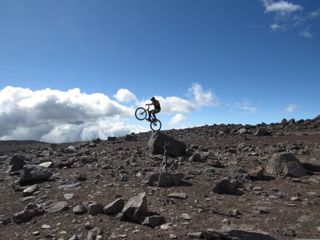
For non-climbing companions, acclimatising mountain bikers, or trekkers seeking low-risk high-altitude exposure, the Reserva de Producción de Fauna Chimborazo offers accessible alternative trails across the páramo landscape.
Refugio Carrel to Condorcocha Lagoon
- Distance: 1.5 kilometres (0.9 miles) one way
- Elevation: 4,850 metres to 5,100 metres
A well-maintained walking trail leads from Refugio Carrel up to the historic Refugio Whymper (5,000 metres) before continuing up to Condorcocha Lagoon. This small glacial tarn sits at 5,100 metres and provides views of the lower ice fields.
Páramo downhill mountain biking
Several local adventure outfitters operate guided mountain bike descents within the reserve. Cyclists are driven up to Refugio Carrel before descending over 1,800 vertical metres down paved and dirt gravel roads to the lower valley floor, taking in sweeping views of grazing wild vicuñas across the high plains.
Climb to the top of the world
Read this far?
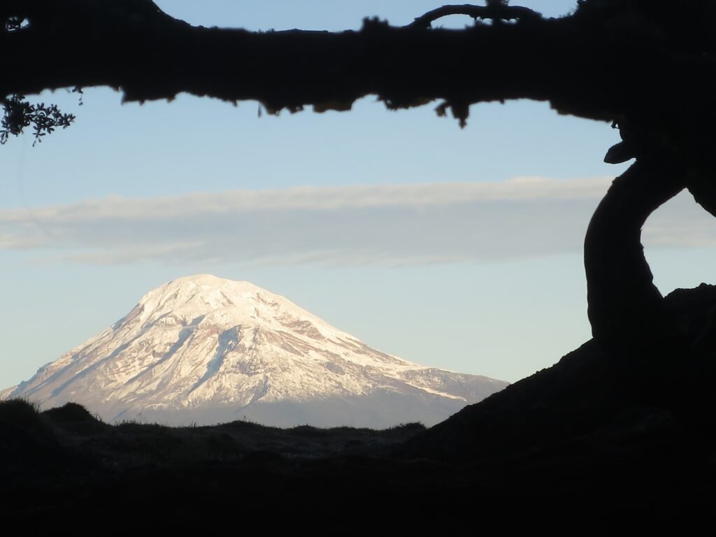
Volcán Chimborazo is a mountain that demands respect, patience, and humility. Rising dramatically out of the high-altitude páramo wetlands, its massive glaciated dome dominates the central Ecuadorian Andes.
For independent travellers arriving by local bus from Riobamba or winding up gravel roads with a mountain bike, the mountain offers an antidote to rushed commercial tourism. Scaling these heights is not about ticking off a bucket-list peak in 48 hours; it is about immersing yourself in the steady rhythm of high-Andean travel.
Success on the El Castillo Ridge is built weeks before you step onto the ice. By committing to a progressive acclimatisation ladder across surrounding peaks like Volcán Rucu Pichincha and Cotopaxi, you give your body the time it needs to adapt to thin air. On summit night, as you shuffle upward in the cold dark using the rhythmic paso andino, every breath reminds you of the raw scale of this ancient stratovolcano.
By hiring local ASEGUAM-certified mountain guides, sourcing gear in Riobamba, and supporting regional refugios, independent climbers help sustain the communities that safeguard these fragile high-altitude ecosystems. Whether you reach Cumbre Whymper or turn back at Cumbre Veintimilla when the morning sun touches the glacier, standing on Chimborazo remains one of the world’s great high-altitude experiences.
Pack double boots, respect the altitude, take the slow route, and let the wild beauty of Ecuador’s highest peak reshape how you travel.
Affiliate Disclaimer: Some of the links on Wheely Tyred are affiliate links. If you click through and make a booking or purchase, we may earn a small commission at no extra cost to you. We only recommend gear, tours, stays, and services we genuinely use, trust, and stand behind — our editorial independence always comes first. These commissions help keep our independent cycling guides and travel stories free to read. You can also buy me a coffee here — thanks for supporting the ride!
The Ecuadorian Coast.
Where you’ll find the very best food
Frequently asked questions about how to summit Chimborazo
Chimborazo is considerably more challenging than Cotopaxi. It stands more than 360 metres higher at 6,263 metres, features steeper snow slopes up to 45 degrees along the El Castillo Ridge, and requires an arduous final 45-minute traverse across a wind-swept snow plateau between Cumbre Veintimilla and Cumbre Whymper.
Regular local buses depart from the main terminal in Riobamba heading toward Guaranda, dropping passengers at the El Arenal park entrance in roughly one hour. From the gate, local 4×4 mountain drivers or pre-arranged guide vehicles take climbers up the gravel road to Refugio Hermanos Carrel at 4,850 metres.
Yes. Ecuadorian national park regulations mandate that all climbers ascending glaciated peaks above 5,000 metres must be accompanied by an accredited mountain guide certified by ASEGUAM or the UIAGM. Group sizes are strictly capped at a maximum of two climbers per guide.
Refugio Hermanos Carrel serves hearty, carbohydrate-rich meals such as vegetable and quinoa soups, rice, eggs, and hot tea (mate de coca or chamomile). Climbers should carry warm, sweetened tea in an insulated thermos for summit night, as uninsulated water bottles freeze rapidly above 5,200 metres.
If a climber experiences severe headaches, nausea, or loss of coordination associated with Acute Mountain Sickness (AMS), safety protocols dictate an immediate descent with their guide. Guides also enforce a strict 08:00 turnaround time regardless of location to ensure teams clear loose rock zones before daytime heating increases stonefall hazards.
Yes. Non-climbers can hike the high-altitude trail from Refugio Carrel to Refugio Whymper and continue to Condorcocha Lagoon at 5,100 metres. The reserve also features excellent gravel roads for downhill mountain biking through páramo ecosystems where herds of wild vicuñas graze.
Ecuador.
Pure wonder on the equator.


