How to hike the Quilotoa Loop / The complete self-guided trekking guide
A step-by-step 3-day trekking itinerary from Sigchos to the Quilotoa crater lake in Ecuador
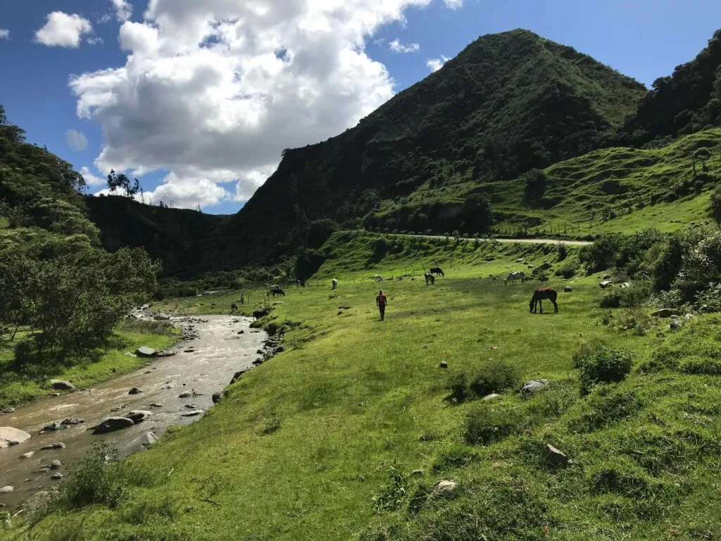
Traverse deep Andean canyons, cloud forest trails, and high páramo
BEN FINCH
The Quilotoa Loop is one of South America’s finest self-guided mountain treks. Tucked into the Cotopaxi region of the Ecuadorian Andes, this multi-day trail connects isolated agricultural villages, dramatic river canyons, and high-altitude pastures before terminating at the lip of a brilliant emerald volcanic crater lake.
Unlike many famous South American trekking routes, the Quilotoa Loop requires no expensive guides, permits, or camping gear. You walk from village to village during the day and sleep in comfortable family-run guesthouses at night.
Whether you are an experienced mountain hiker or an active traveller looking to experience rural Ecuadorian culture on foot, this complete guide provides every detail necessary to plan and execute the journey safely and independently.
Essential highlights of the Quilotoa circuit
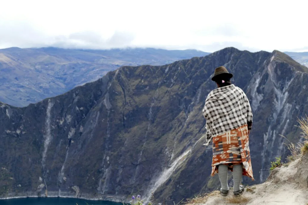
Traversing this dramatic corner of the Ecuadorian Andes delivers an immersive taste of mountain life, ancient canyon trails, and sweeping volcanic landscapes. Here are the core takeaways and key stops that define the self-guided journey from Sigchos to the crater lake.
- Sigchos Trailhead: The official starting point where rural dirt tracks drop away from the town square into the serene depths of the Toachi River valley
- Isinliví Ridge: A quiet mountain settlement perched high above the canyon, ideal for unwinding in family-run eco-lodges after the first day of climbing
- Toachi Canyon Crossing: A scenic descent through agricultural valleys and riverbeds followed by a rewarding climb through damp mountain cloud forest
- Chugchilán Village: A vibrant agricultural hub offering rustic mountain comfort, local sheep cheese, and access to deep canyon vantage points
- Guayama San Pedro: An indigenous farming hamlet marking the physical transition from terraced valleys to high-altitude páramo pastures
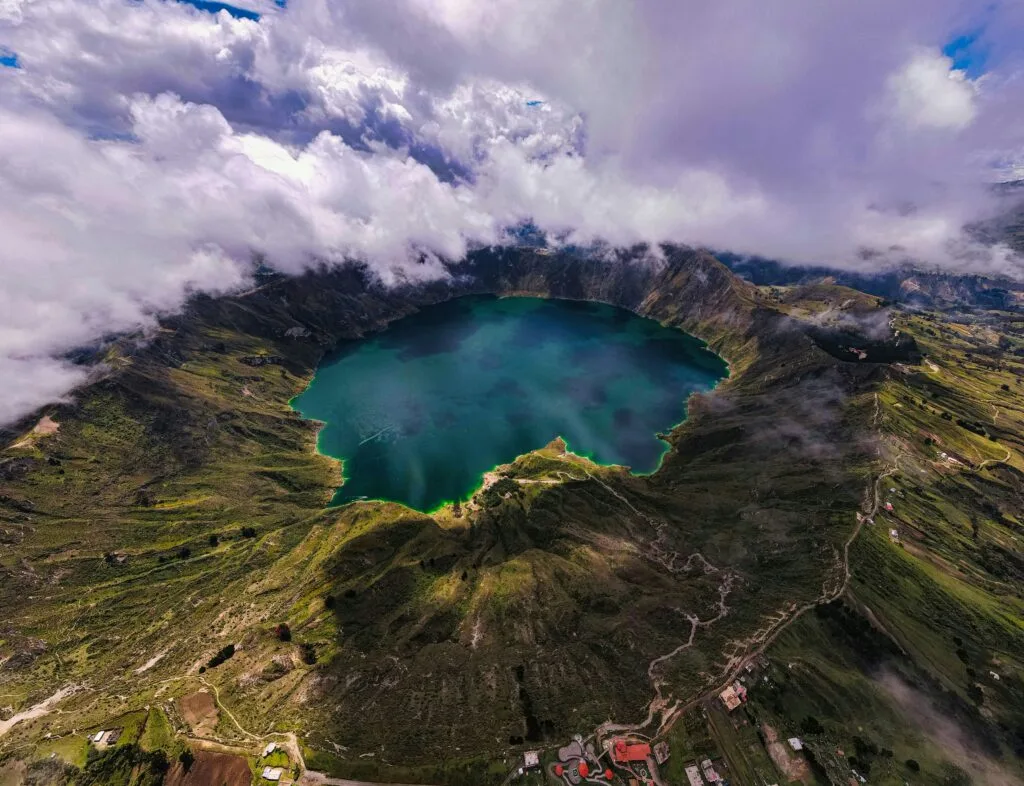
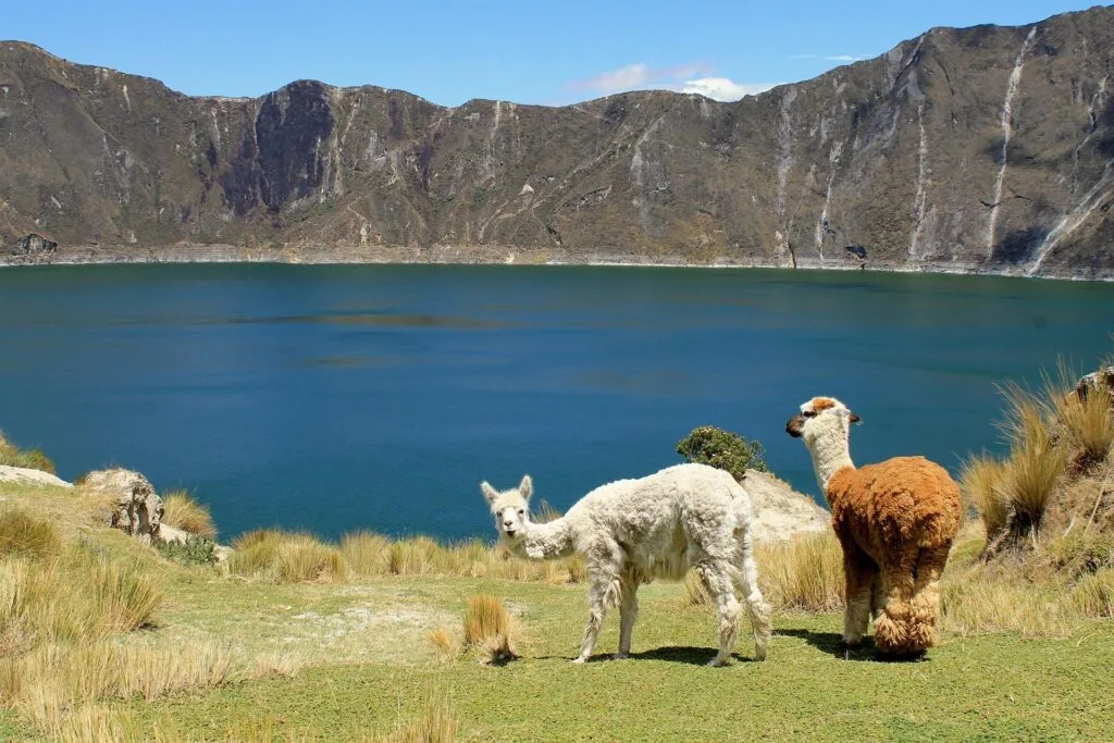
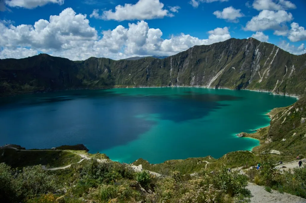
- Quilotoa Crater Lake: The dramatic finale at 3,914 metres, where a steep volcanic ridge opens up to reveal a stunning emerald-turquoise lagoon
- Andean High Country: An unguided wilderness trek that rewards self-reliant travellers with rich Kichwa culture, sweeping mountain vistas, and quiet trails
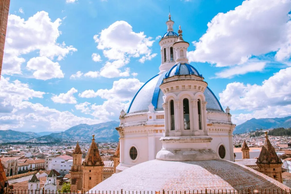
Quilotoa.
The emerald crater lake
Understanding the Quilotoa Loop trail
The Quilotoa Loop is not a single continuous circular path, but rather a network of ancient dirt roads, livestock tracks, and canyon footpaths that connect several mountain settlements west of Latacunga.
While the full circuit of mountain towns can be explored over a week using local transport, the core trekking section covers approximately 36 to 40 kilometres over three days. Most hikers choose to walk from north to south, starting in Sigchos and finishing at Laguna de Quilotoa.
Key Quilotoa trekking statistics
- Total Distance: 36.5 kilometres (standard 3-day trail)
- Starting Elevation: 2,850 metres (Sigchos)
- Finishing Elevation: 3,914 metres (Quilotoa crater rim)
- Total Ascent: Approximately 2,200 metres
- Difficulty: Moderate to challenging (due to steep canyon climbs and altitude)
- Accommodation: Village guesthouses and eco-lodges
Why hike Sigchos to Quilotoa
It is possible to hike the route in reverse, starting at Quilotoa and descending towards Sigchos. However, hiking south from Sigchos offers two major advantages:
- Gradual Altitude Acclimatisation: Starting at 2,850 metres in Sigchos allows your body to adjust to higher elevations slowly over three days before reaching the 3,914-metre rim at Quilotoa
- Dramatic Visual Finish: Ending the trek with your first view over the lip of Laguna de Quilotoa creates an unforgettable climax to the journey
The Ecuadorian Sierra.
Get lost in the hills
Essential trekking logistics and preparation
Proper preparation makes the difference between a rewarding mountain trek and a stressful ordeal. Because the trail climbs high into the Andes, altitude, weather, and trail navigation require careful attention.
Base camp and luggage storage
The town of Latacunga serves as the central hub for the Quilotoa Loop. Most travellers arrive in Latacunga from Quito, check into a guesthouse such as Hostal Tiana, and leave their main luggage in secure storage for a nominal daily fee. Carry only a 25- to 35-litre daypack on the trail containing warm layers, waterproof gear, toiletries, and essentials.
Altitude acclimatisation
Do not attempt the trek immediately upon arriving in Ecuador from sea level. Spend at least two days at high elevation—such as in Quito (2,850 metres) or Latacunga (2,750 metres)—before setting off. Drink plenty of water, avoid heavy alcohol consumption, and pay attention to early symptoms of acute mountain sickness such as headaches, nausea, or dizziness.
Cash and currency
Ecuador uses the US dollar. There are no cash machines along the trail between Sigchos and Quilotoa village. Bring sufficient cash in small denominations ($1, $5, and $10 notes), as local guesthouses, small shops, and buses rarely have change for $20 notes. Budget around $30 to $45 per day per person, which covers accommodation, breakfast, dinner, trail snacks, and local bus fares.
Navigation and trail marking
Trail signage along the Quilotoa Loop has improved over time, but yellow paint markers on rocks and wooden posts can be sparse or confusing at key canyon intersections. Download offline mapping applications such as Maps.me or Wikiloc prior to departure. Ensure your phone is fully charged each morning and carry a compact portable power bank.
The Ecuadorian Amazon.
The most biodiverse place in the world
Day 1 / Sigchos to Isinliví
- Distance: 11 kilometres
- Hiking Time: 3 to 4 hours
- Elevation Gain: 450 metres
- Elevation Loss: 420 metres
Journey to the trailhead
Take an early morning bus from the central bus terminal in Latacunga to Sigchos. The bus journey takes approximately two hours, winding through picturesque mountain valleys. Aim to leave Latacunga by 8am so you begin hiking before midday, well before any afternoon rain showers develop.
Trail description
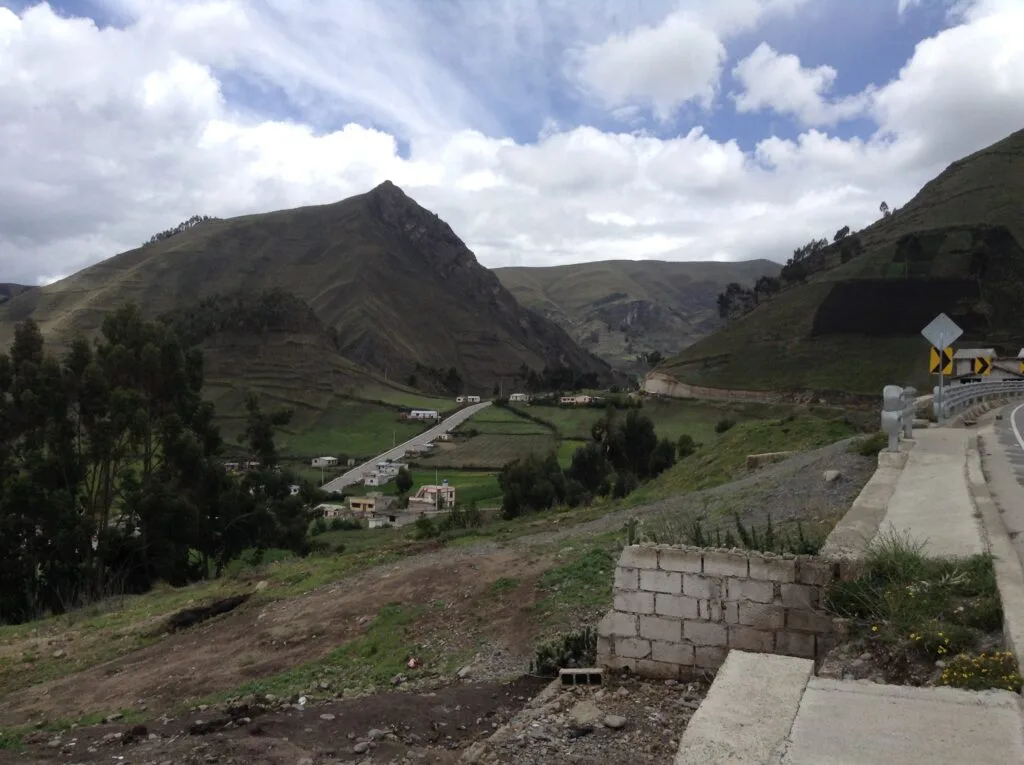
The walk from Sigchos to Isinliví provides a gentle introduction to Andean hiking. Leaving the town square of Sigchos, the path follows a quiet dirt track that winds down into the Toachi River valley. You pass small family smallholdings, cultivated maize fields, and grazing cattle.
After descending to the riverbed, cross the wooden bridge over the Toachi River. From the riverbank, the path turns upwards along a red clay track, climbing steadily through farmland until reaching the quiet ridge village of Isinliví.
Highlights and accommodation
Isinliví offers panoramic mountain views and a peaceful, rural atmosphere. Guesthouses here, such as Llullu Llama Mountain Lodge, provide home-cooked communal dinners, wood-burning stoves, and spa facilities that make for a welcome rest after the day’s climb.
Day 2 / Isinliví to Chugchilán
- Distance: 12.5 kilometres
- Hiking Time: 4 to 5 hours
- Elevation Gain: 730 metres
- Elevation Loss: 600 metres
Trail description
Day two is widely considered the most scenic section of the trek, featuring dramatic shifts in vegetation and landscape. Leaving Isinliví, the trail descends down narrow canyon tracks toward the village of Toachi.
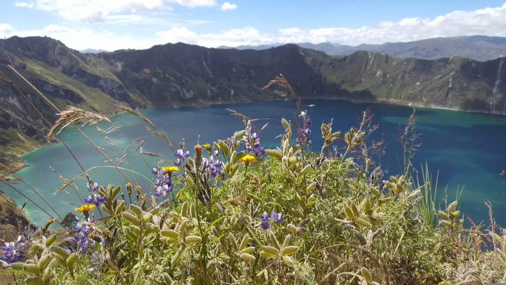
You will cross the Toachi River once more, navigating a log bridge or concrete crossing depending on recent rain levels. After the river crossing, the real work begins: a sustained, steep climb out of the canyon along ancient footpaths carved into the cliffside. The lower section passes through damp cloud forest before breaking out into high mountain terraced fields.
The trail levels out onto a paved mountain road for the final two kilometres into Chugchilán, a bustling agricultural hub sitting high on the ridge opposite Isinliví.
Highlights and accommodation
Chugchilán features comfortable family-run lodges such as Black Sheep Inn and Cloud Forest Hostal. Take time in the late afternoon to explore the village square or sample locally made sheep cheese.
The Galápagos.
Ecuador’s Enchanted Isles
Day 3 / Chugchilán to Quilotoa Lake
- Distance: 13 kilometres
- Hiking Time: 5 to 6 hours
- Elevation Gain: 1,100 metres
- Elevation Loss: 280 metres
Trail description
The final stage of the trek is the longest and most physically demanding, but it rewards hikers with one of South America’s most breathtaking natural landmarks.
The route drops steeply out of Chugchilán into the Moya Canyon. After crossing the river at the base of the gorge, you ascend through the indigenous village of Guayama San Pedro. The terrain transforms progressively from verdant farmland into dusty, high-altitude páramo grass.
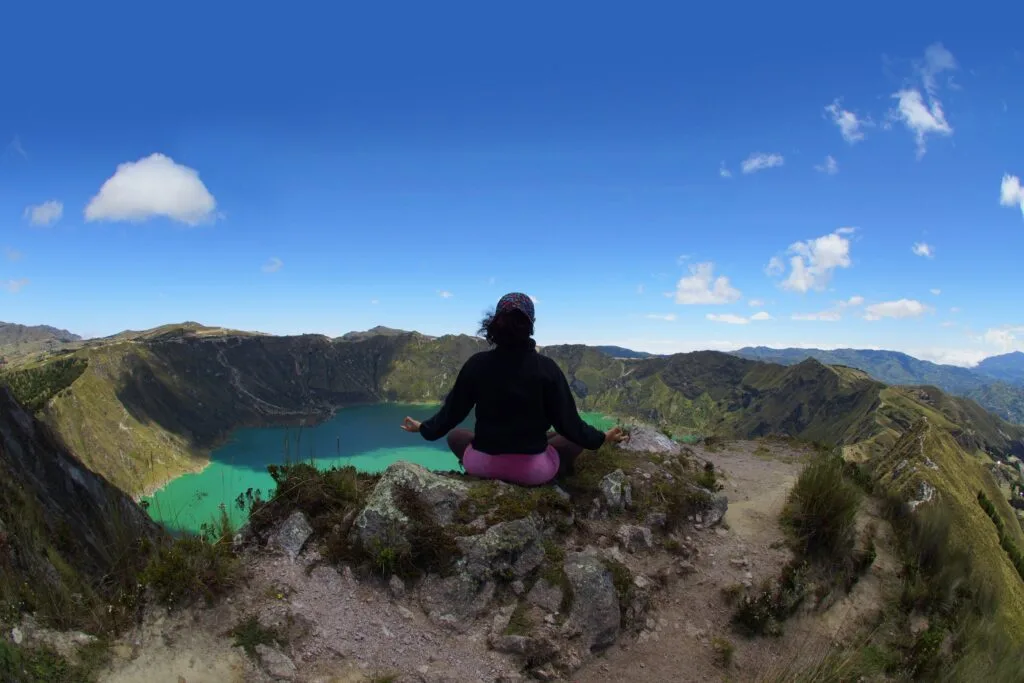
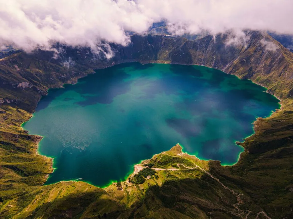
The final climb up the sand-and-ash ridge of the volcano is steep and exposed. Atmospheric pressure drops as you push past 3,800 metres. Upon reaching the crater lip, the ground drops away into a dramatic caldera containing a 3-kilometre-wide, emerald-turquoise volcanic lake.
Follow the crater rim trail to the right for one kilometre to enter Quilotoa village, where you can find hot meals, warm tea, and transport options back to Latacunga or Quito.
Quilotoa crater rim and lagoon descent
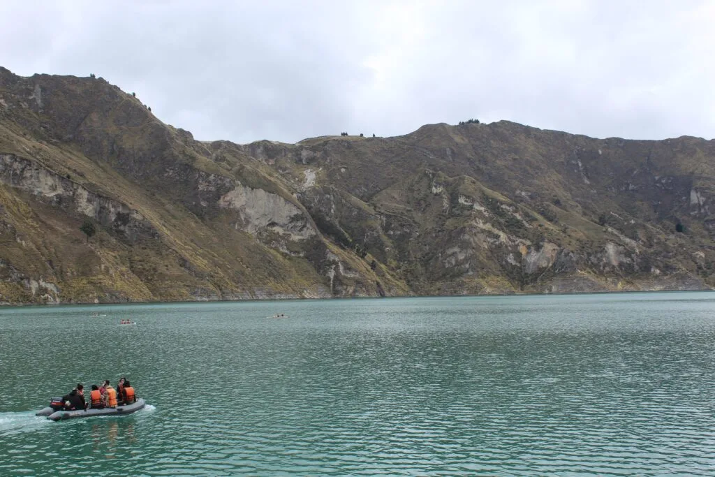
If you have an extra day or start early on day three, Quilotoa offers additional outdoor activities.
Quilotoa rim walk
- Distance: 10.5 kilometres
- Time: 4 to 5 hours
- Difficulty: Strenuous
For those with energetic legs, circuiting the entire perimeter of the volcanic crater rim provides panoramic views of the Andes, including Cotopaxi and Illiniza peaks on clear days. The path narrows in several places and involves continuous short, steep ascents and descents along sandy ridges.
Descend to the crater water
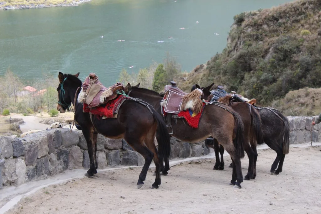
A steep zigzagging trail leads from Quilotoa village down 280 vertical metres to the water’s edge inside the caldera. The walk down takes roughly 30 minutes, while the return climb back up the sandy incline takes 45 to 60 minutes due to the thin air at 3,900 metres. Local community members offer mule rides back up the trail for tired hikers. Kayaks are available for hire at the shoreline during clear weather.
The Ecuadorian Coast.
Where you’ll find the very best food
Packing essentials for the High Andes
The weather in the Ecuadorian high Andes is notoriously changeable. Bright, intense sunshine in the morning can quickly give way to cold wind, mist, or torrential afternoon rain.
Recommended gear list
- Clothing: Quick-dry hiking trousers, thermal base layers (merino wool is ideal), fleece mid-layer, windproof/waterproof jacket, lightweight gloves, and a warm beanie
- Footwear: Sturdy, broken-in hiking boots or aggressive trail runners. Wool hiking socks
- Sun Protection: High SPF 50+ sun cream, UV-blocking sunglasses, and a wide-brimmed hat or cap. UV radiation at 3,900 metres is extreme
- Hydration: Minimum 2-litre water capacity (reusable bottle or hydration bladder). Water purification tablets or a filtering bottle are useful for emergency top-ups
- Snacks: High-energy trail mix, dried fruit, nuts, and chocolate to maintain energy levels during canyon ascents
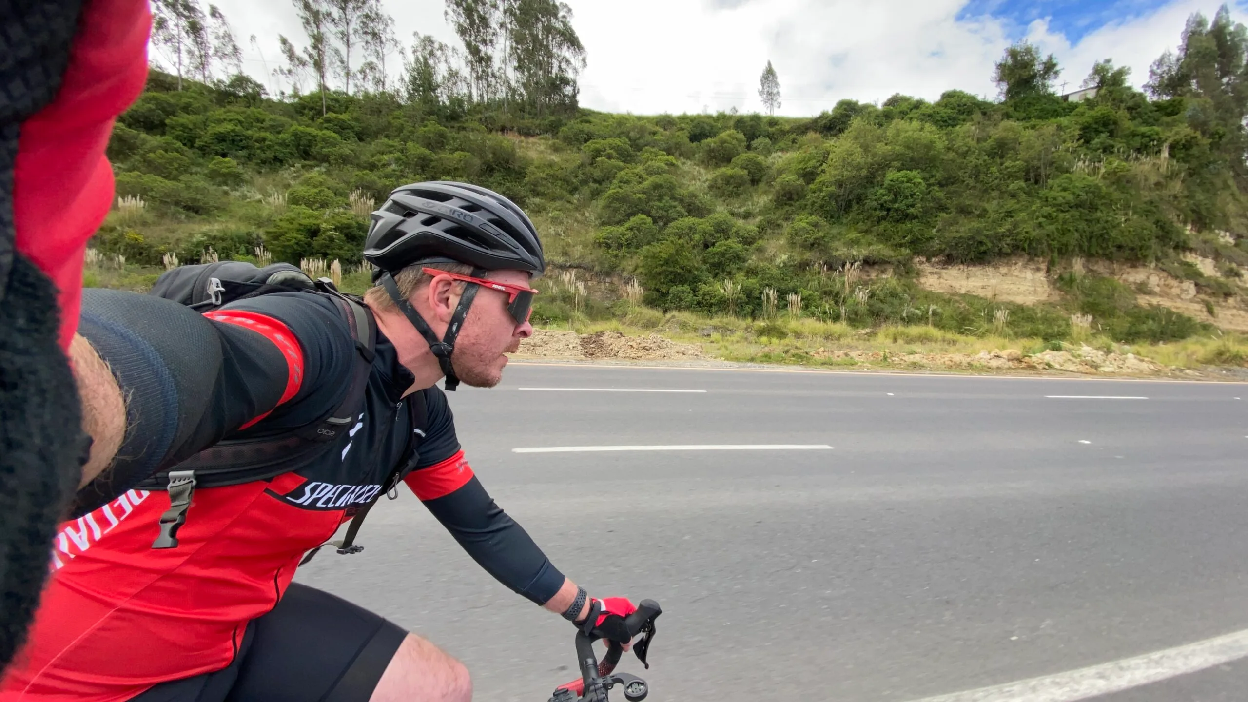
While this trek is traditionally completed on foot, the network of gravel roads and dirt tracks connecting Latacunga, Sigchos, and Chugchilán is rapidly becoming a popular destination for bikepackers and gravel cyclists exploring high-altitude Andean terrain.
Best season for trekking in Cotopaxi
The Quilotoa Loop can be hiked year-round, but weather patterns vary depending on the season.
- Dry Season (June to September): Clear skies, sunnier mornings, and lower rainfall. This is the peak trekking period. Be prepared for strong mountain winds along exposed crater rims and cold night temperatures dropping near freezing
- Shoulder Season (October to December): A mix of sunny mornings and occasional afternoon showers. Good trail conditions with fewer hikers
- Wet Season (January to May): Higher incidence of rain, fog, and muddy trails, particularly in the afternoons. Mornings often remain clear, requiring early departures from guesthouses
Practical Quilotoa information and safety
Transport after the trek
Regular direct buses run from Quilotoa village back to Latacunga terminal throughout the afternoon. Alternatively, you can catch a local truck or bus to the nearby town of Zumbahua and transfer to a Quito-bound bus.
Local etiquette and culture
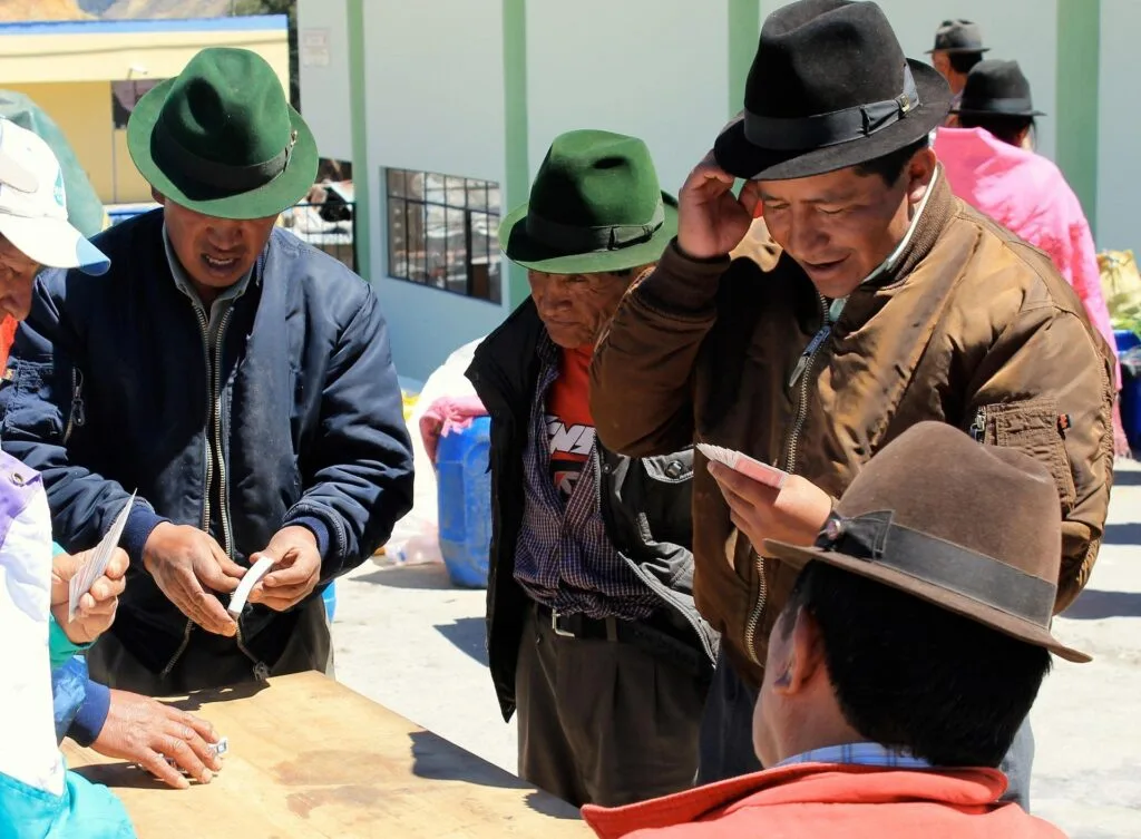
The communities along the Quilotoa Loop are predominantly Kichwa-speaking indigenous farmers. Show respect when passing through private farmland, keep gates closed behind you, and ask permission before taking photographs of local residents, especially children. Purchasing fruit, bread, and snacks from village shops directly supports the local rural economy.
Stand on the rim of the Andes
Read this far?
Reaching the volcanic caldera of Quilotoa on foot carries a sense of accomplishment that motorised transport simply cannot match. Watching the morning light shift across the emerald water after three days of navigating steep canyon passes and rural mountain tracks grounds you firmly in the landscape. It is a rare corners-of-the-map experience where the journey through quiet farming hamlets proves just as memorable as the grand geological finale.
Trekking independently through these high Andean valleys requires respect for the elements and an open mind. Weather in the mountains shifts without warning, and high altitude demands a steady pace rather than a rushed march.
By taking the time to acclimatise in Latacunga, supporting small local guesthouses along the way, and treading lightly through working agricultural communities, you help preserve the slow-travel ethos that makes this circuit so special.
Whether you choose to tackle the full rim walk, descend to the water’s edge, or simply sit with a warm cup of coca tea watching clouds drift over the caldera, the Quilotoa Loop stays with you long after you leave Cotopaxi province. Pack lightweight, prepare for all four seasons in a single day, and embrace the raw, quiet beauty of the Ecuadorian high country.
Affiliate Disclaimer: Some of the links on Wheely Tyred are affiliate links. If you click through and make a booking or purchase, we may earn a small commission at no extra cost to you. We only recommend gear, tours, stays, and services we genuinely use, trust, and stand behind — our editorial independence always comes first. These commissions help keep our independent cycling guides and travel stories free to read. You can also buy me a coffee here — thanks for supporting the ride!
Frequently asked questions about how to hike the Quilotoa Loop
Most travellers base themselves in Latacunga, which is a two-hour bus ride south of Quito. From Latacunga central bus terminal, regular morning buses run directly to Sigchos in roughly two hours. Returning from Quilotoa village at the end of the trek is equally straightforward, with direct afternoon buses running back to Latacunga terminal or nearby Zumbahua.
Yes, the trail is well-travelled and safe for independent hikers. Navigation relies on clear canyon landmarks and offline GPS mapping apps like Maps.me or Wikiloc. Maintained paths connect established villages, making local guides unnecessary for anyone with basic hiking experience and a reliable offline trail map.
Hostals and guesthouses in Isinliví, Chugchilán, and Quilotoa typically include hearty home-cooked dinners and breakfasts in their nightly rates. Small village shops stock water, fruit, chocolate, and basic trail snacks. Tap water is not safe to drink untreated, so carry a filtration bottle or purification tablets, or purchase bottled water in towns.
The trail sits between 2,850 metres and 3,914 metres above sea level. Elevation makes physical exertion noticeably harder, particularly on steep canyon ascents and the final climb to Quilotoa rim. Spend at least two nights at high altitude in Quito or Latacunga before starting, stay well-hydrated, and keep your daily walking pace measured.
Do not carry full luggage on the trail. Almost all guesthouses and hostals in Latacunga offer secure, low-cost luggage storage specifically designed for trekkers doing the Quilotoa Loop. Leave your heavy suitcases or large travel packs in Latacunga and hike with a 25- to 35-litre daypack containing only multi-day hiking essentials.
The loop passes through traditional Kichwa-speaking agricultural communities. Always greet locals politely in Spanish when passing through farms or mountain paths. Keep gate latches closed behind you to prevent livestock from straying, and always ask permission before taking photographs of local residents or private property.
Ecuador.
Pure wonder on the equator.