
Overland travel in the Ecuadorian Amazon / The complete route & logistics guide
Amazon overland logistics / Routes, bus networks, and 4×4 transit across Ecuador’s Oriente
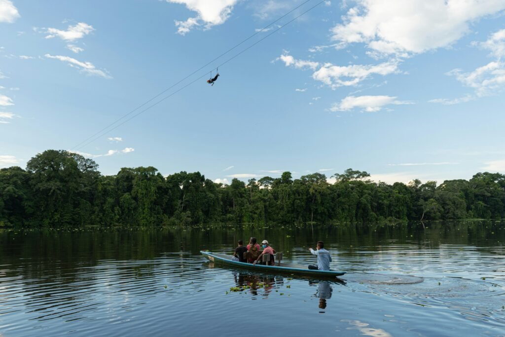
From frost to canopy / Navigate the extreme descents of the Oriente

BEN FINCH
The Ecuadorian Amazon, known locally as El Oriente, presents one of the most compressed and accessible geographical transitions anywhere on Earth. Within a horizontal distance of less than 100 kilometres, terrain cascades from freezing Andean páramo passes above 4,000 metres down to the dense, equatorial rainforest of the Amazon basin at just 250 metres above sea level.
This extreme topographical collapse creates a unique overland environment. Asphalt highways wind down dramatic river canyons, yielding to unpaved oil-extraction corridors, narrow logging tracks, and eventually navigable river systems. Traversing this region by land demands a precise understanding of transit hubs, road surfaces, seasonal microclimates, and regional transport infrastructure.
Whether navigating the regional bus network, undertaking short but exceptionally difficult cycling descents down the Andean ramparts, or managing a self-drive 4×4 expedition to the edge of the navigable river network, this guide provides the definitive operational blueprint for overland travel across Ecuador’s Amazonian provinces.
Anatomy of the Amazonian descent
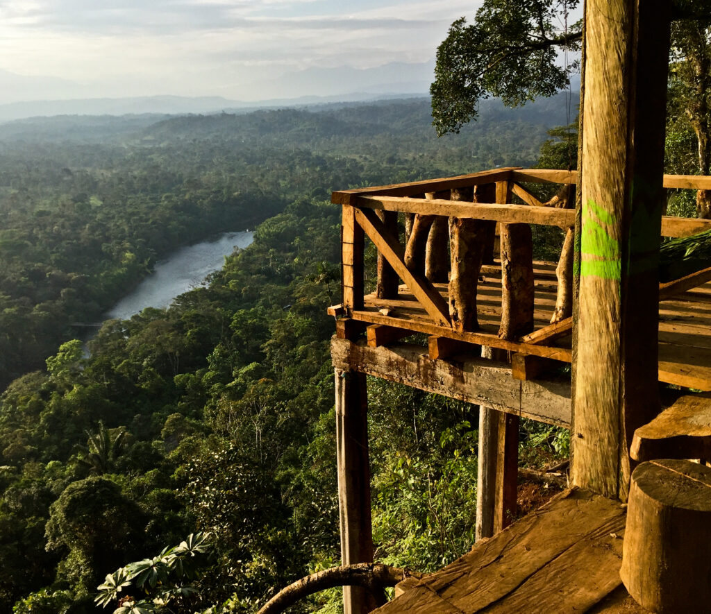
Descending from 4,000-metre Andean passes down to the dense basin of the Ecuadorian Amazon demands precise preparation and flexible logistics. From high-altitude gravel drops to riverboat connections along the Río Napo, these core takeaways map out the journey through El Oriente.
- The Great Vertical Drop: The transition from Andean páramo down to equatorial jungle unfolds across less than 100 horizontal kilometres, shifting rapidly through dramatic microclimates
- Arterial Highway Corridors: The E30 through the Pastaza canyon and the E45 Troncal de la Amazonía form the primary paved backbone linking highland gateways like Baños de Agua Santa to deep-jungle ports
- Extremely Demanding Cycling: Ripping down the Papallacta pass or the Ruta de las Cascadas brings vertical drops exceeding 3,500 metres; hydraulic disc brakes with sintered metallic pads and wide tubeless tyres are non-negotiable
- Strategic Bus Networks: Direct, low-cost long-distance buses depart frequently from Quito’s Terminal Terrestre Quitumbe to key transit hubs including Tena, Puyo, and Puerto Francisco de Orellana (El Coca)
- Self-Drive & 4×4 Realities: While primary highways are paved, entering unpaved oil corridors like the Vía Auca requires true four-wheel drive, high ground clearance, and physical cash for fuel in rural areas
- The Road-to-Water Boundary: Road networks terminate at jungle ports like El Puente and El Coca, where travel converts seamlessly to motorised wooden canoes (deslizadores) requiring heavy-duty dry bags for gear protection
- Hydrological Seasonality: Navigating the region relies on tropical rainfall patterns—the wet season (April–July) brings high river levels but frequent landslides (derrumbes), while the low-water season (August–December) stabilises road conditions
The Ecuadorian Amazon.
The most biodiverse place in the world
Geographical architecture of the Ecuadorian Oriente
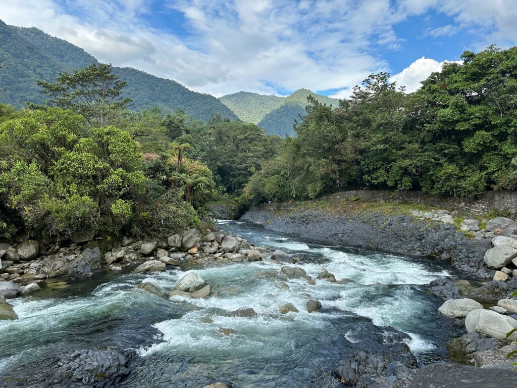
Understanding the road network of El Oriente requires understanding its primary entry corridors. The Andes form a continuous vertical barrier along the western flank of the Amazon basin. Vehicles entering the jungle must pass through a limited number of mountain breaches carved out by major river systems.
The primary gateway hubs
- Baños de Agua Santa (Tungurahua): Situated at 1,820 metres, Baños sits in the shadow of the active Tungurahua volcano. It functions as the primary central gateway, connecting the central Andean valley to the Pastaza Province via the E30 highway
- Tena (Napo): Located at an altitude of 510 metres, Tena is the capital of the Napo Province and serves as the principal hub for commercial, educational, and adventure travel in the central-northern Oriente
- Puyo (Pastaza): Positioned at 950 metres, Puyo is a strategic transport crossroads where the east-west descent from Baños meets the north-south arterial spine of the Amazonian highway
- Puerto Francisco de Orellana / El Coca (Orellana): Known simply as El Coca, this deep-jungle oil port sits at the confluence of the Río Napo and Río Payamino at an elevation of 250 metres. It is the primary overland terminus for journeys penetrating deep into Yasuní National Park
- Lago Agrio / Nueva Loja (Sucumbíos): The northernmost industrial and transport hub, heavily shaped by the petroleum sector. It acts as the staging ground for travel toward the Cuyabeno Wildlife Reserve and the Colombian border region
- Macas (Morona Santiago): Located further south at 1,050 metres, Macas bridges the central Amazonian corridors with the southern cut-offs leading toward Cuenca and Loja
The arterial road corridors
The primary road infrastructure of El Oriente relies on three key national routes:
- The E30 (Baños to Puyo Corridor): A spectacular, heavily engineered highway carved directly into the sheer cliffs of the Pastaza River canyon. Known as the Ruta de las Cascadas, it drops rapidly over 61 kilometres through a series of tunnels and bridges
- The E45 (Troncal de la Amazonía): The primary north-south spine running parallel to the eastern foot of the Andes. The E45 connects Lago Agrio in the north down through Tena, Puyo, Macas, and onward to Zamora in the far south. It is largely paved, though sections are prone to subsidence and river erosion
- The E20 / E28 (Quito–Papallacta–Baeza Highway): The primary northern supply route from the capital. Crossing the Paso de Papallacta at 4,060 metres, this road drops precipitously to Baeza before splitting south toward Tena (E45) or east toward El Coca (E20)
Bus travel across the Amazonian transit network
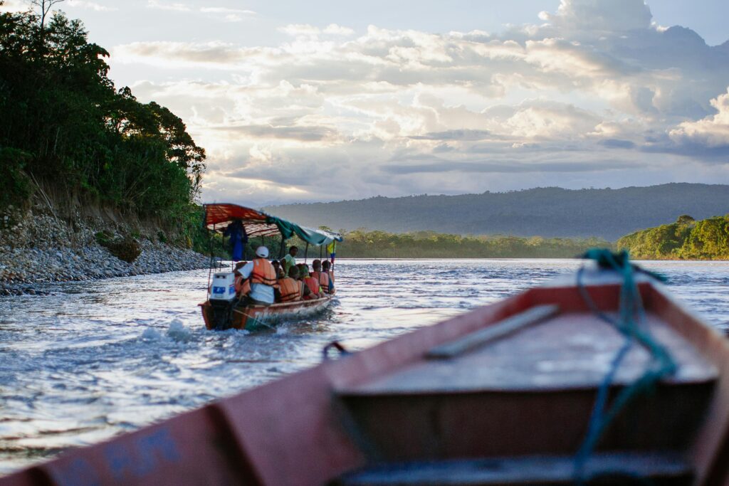
Long-distance and interprovincial buses form the core of overland transport in the Ecuadorian Amazon. The network is extensive, highly affordable, and frequent, connecting major Andean cities directly to deep-jungle settlements. However, navigating the system efficiently requires an understanding of terminal operations, regional carriers, and local road hazards.
Departure terminals in Quito
All southbound and eastbound long-distance buses originating in Quito depart from Terminal Terrestre Quitumbe, located in the far south of the city. Connections to the northern Oriente (such as Lago Agrio via Papallacta) can occasionally be boarded at Terminal Terrestre Carcelén in the north, though Quitumbe handles the vast majority of direct express services.
Key bus operators & service areas
- Transportes Baños: One of the largest and most reliable operators in central Ecuador. They run frequent services between Quito, Ambato, Baños de Agua Santa, Puyo, Tena, and El Coca
- Cooperativa Amazonas: Specialises in routes connecting Quito and the central highlands directly to Napo and Orellana provinces. Excellent coverage along the E45 corridor
- Touris San Francisco: Dominates routes operating through Pastaza and Morona Santiago, offering reliable connections between Baños, Puyo, Macas, and Cuenca
- Transportes Putumayo: The dominant carrier for the northern Amazon, running direct routes from Quito and Guayaquil to Lago Agrio, Coca, and the border zone at Puerto El Carmen de Putumayo
- Transportes Jumandy & Petrolera: Regional operators providing short-haul, high-frequency inter-city connections between Tena, Archidona, Baeza, and local river ports
Overview of primary bus corridors
| Route Corridor | Distance & Time | Primary Operators | Road Conditions & Hazards |
| Quito to Tena | 210 km / 5–6 hours | Transportes Baños, Cooperativa Amazonas | Fully paved; high-altitude fog at Papallacta; extreme mountain descents. |
| Baños to Puyo | 61 km / 1.5–2 hours | Touris San Francisco, Transportes Baños | Fully paved; narrow mountain pass; high risk of landslides (derrumbes). |
| Puyo to Macas | 130 km / 2.5–3 hours | Cooperativa Macas, Touris San Francisco | Paved highway; rolling jungle hills; bridge crossings over wide braided rivers. |
| Tena to El Coca | 170 km / 4–5 hours | Transportes Jumandy, Petrolera | Mixed asphalt and oil-road gravel; heavy industrial truck traffic. |
| Quito to Lago Agrio | 270 km / 7–8 hours | Transportes Putumayo, Cooperativa Loja | Mountainous tarmac; active geological instability around the Reventador volcano zone. |
| Puyo to Tena | 78 km / 1.5–2 hours | Centinela del Oriente, Transportes Baños | Excellent paved road (E45); undulating terrain; generally stable surface. |
Ticketing, luggage & operational realities
- Ticket Purchasing: Long-distance bus tickets are typically purchased in person at terminal ticket windows (boleterías). While online booking platforms are slowly emerging, purchasing tickets 1 to 2 hours prior to departure—or the day before during national holidays (feriados)—remains the standard practice. Always carry physical cash in small US dollar denominations ($1, $5, and $10 notes), as ticket windows rarely process credit cards or possess change for $20 or $50 bills
- Luggage Protocol: Large backpacks and bike bags are stowed in the under-bus luggage compartments (maleteros). Ensure you receive a physical luggage claim stub (boleta) from the baggage handler. Keep all high-value items, passports, electronics, and cash inside a small daypack on your lap. Never place personal bags in the overhead luggage racks inside the bus cabin, as opportunistic theft on long-haul routes is common
- Landslides (Derrumbes) & Delays: The steep eastern slopes of the Andes receive exceptionally high rainfall. Landslides frequently block primary arteries like the E30 (Baños–Puyo) and the E20 (Baeza–Quito). During the rainy season, bus journeys can be delayed by several hours while heavy machinery clears mud and rockfalls. Always carry sufficient drinking water, dry food, and warm layers in your cabin daypack
The Ecuadorian Sierra.
Get lost in the hills
Overland cycling / Short, high-difficulty descents
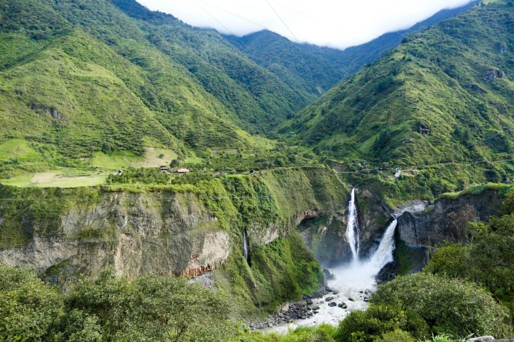
Cycling in the Ecuadorian Amazon presents a unique profile. Unlike long-distance, flat bikepacking routes found in flat basin countries like Brazil, Amazonian cycling in Ecuador is defined by short total distances paired with extreme physical difficulty.
Riders do not simply ride through the jungle; they drop off the edge of the Andes into it. These routes feature vertical drops of thousands of metres over modest horizontal distances, subjecting cyclists to severe gradients, rapid environmental transitions, extreme weather, and heavy commercial traffic.
Route 1 / Papallacta Pass to Baeza & Tena descent
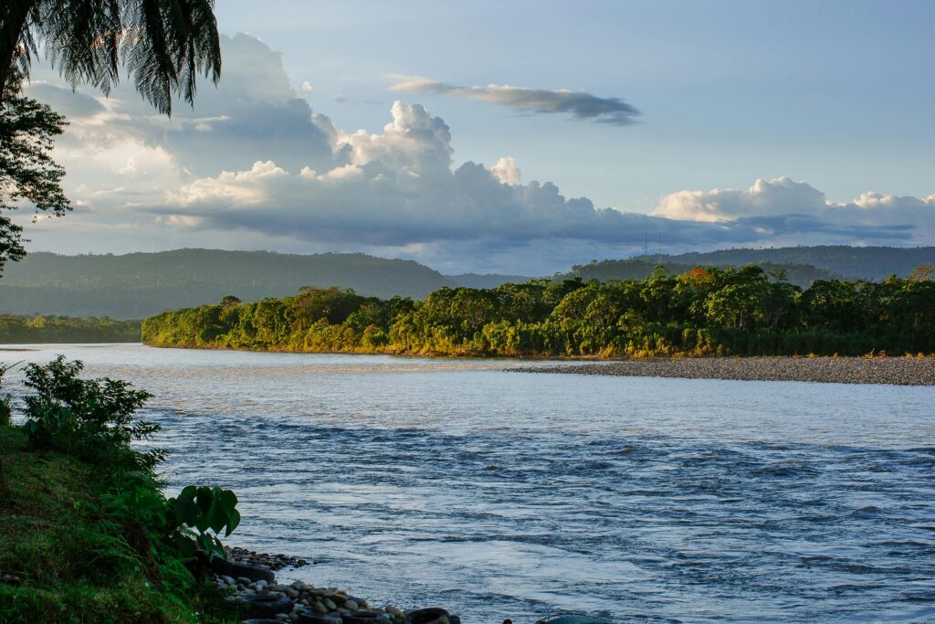
This route represents one of the most violent climatic and vertical drop profiles accessible on a paved road in South America.
- Distance: Approximately 150 kilometres (Paso de Papallacta to Tena)
- Vertical Drop: Starts at 4,060 metres (Paso de Papallacta) and drops to 510 metres (Tena), yielding a net loss of over 3,500 vertical metres
- Surface: Fully paved asphalt, but severely degraded in sections by high-altitude freezing cycles, heavy transport vehicles, and rain-induced subsidence
The ride experience & terrain profile
The ride begins in the frigid, windswept alpine grassland (páramo) of the Paso de Papallacta. Temperatures at the pass frequently hover near freezing, accompanied by dense fog and freezing drizzle (guayuba). The initial descent down toward the town of Papallacta is steep, with road ramps exceeding 12% to 15%. Rim or disc brake surfaces freeze quickly, and wet asphalt reduces tyre traction dramatically.
As the road plunges toward Baeza (1,900 m), the landscape shifts rapidly into cloud forest. Moisture levels rise, and rain changes from high-altitude drizzle to heavy, large-drop tropical downpours. The road follows the Quijos River valley, featuring sharp, off-camber curves, unlit concrete tunnels, and narrow shoulders.
From Baeza down through Archidona to Tena, the cold is entirely replaced by thick, heavy equatorial heat. Cyclists must manage an extreme thermal shift—transitioning from near-freezing conditions requiring heavy thermal outerwear to 30°C heat with 90% humidity in under five hours of riding.
Technical specifications / Papallacta descent
- Starting Altitude: 4,060 metres (Paso de Papallacta)
- Ending Altitude: 510 metres (Tena)
- Net Elevation Loss: ~3,550 vertical metres
- Primary Hazards: Sub-zero wind chill, zero-visibility fog, heavy oil trucks
- Recommended Gearing: Sub-compact / Wide-range cassette (for short, brutal kickers)
Route 2 / Ruta de las Cascadas (Baños to Puyo) & secondary spurs
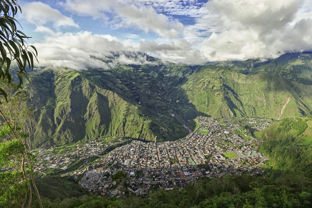
The most famous short descent into the Amazon, dropping along the Pastaza River gorge.
- Distance: 61 kilometres (Baños de Agua Santa to Puyo)
- Vertical Drop: 1,820 metres down to 950 metres (net loss of 870 metres)
- Surface: Paved primary road (E30) with options to branch onto unpaved secondary gravel tracks and forestry paths
The ride experience & technical demands
Departing Baños, the E30 follows the narrow Pastaza canyon. The route passes through half a dozen rock-cut tunnels. Cyclists are prohibited from entering several of the longer, unlit main tunnels; dedicated bypass roads (vías alternas) cut around the outside of the tunnels along the cliff edges, providing safer, highly scenic routes directly above the river gorge.
The highlight of the paved descent is the section near Río Verde, home to the massive Pailón del Diablo waterfall. Below Río Verde, the canyon begins to open up toward Mera (1,040 m), where the final foothills of the Andes flatten out into the vast Amazonian plain leading into Puyo.
For adventure cyclists seeking extreme difficulty, secondary unpaved spurs branch off the main E30. Crossing suspension footbridges over the Pastaza River leads onto secondary agricultural gravel routes toward Madrigal and the buffer zone of the Llanganates National Park. These unpaved tracks feature steep, loose gravel climbs (gradients exceeding 18%), deep mud sections, and unbridged river fords (badenes) that turn into impassable torrents during heavy rain.
Secondary gravel spurs / Off E30
- Route Option: Baños to Puyo via Pastaza South Bank Gravel Spurs
- Terrain Surface: Unpaved, deep clay, loose river cobbles, exposed bedrock
- Gradient Profile: Highly variable: short, punchy ramps between 15% and 22%
- Key Requirements: 45mm+ tubeless tyres, hydraulic brakes, high water capacity
The Galápagos.
Ecuador’s Enchanted Isles
Essential technical gear & bike setup for Oriente descents
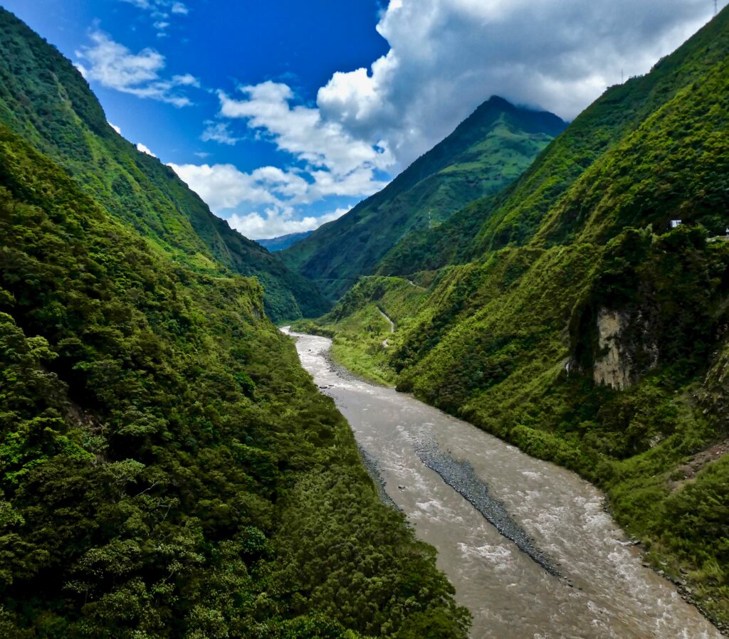
The combination of steep vertical drops, wet weather, grit, and heat places extreme demands on cycling equipment. Standard road setups are often inadequate.
Braking systems
Hydraulic disc brakes are mandatory. Rim brakes lose up to 60% of their stopping power in the continuous wet grit and slurry of Andean descents. Furthermore, organic/resin brake pads wear down rapidly when exposed to tropical road grit; cyclists should run sintered metallic brake pads, which withstand heat and abrasive slurry far better.
Tyre choice & setup
Run wide, high-volume tyres. For paved descents, 32mm to 38mm tubeless tyres provide the necessary contact patch to maintain traction on wet, oil-slicked asphalt. For secondary unpaved routes, 45mm gravel tyres or 2.1-inch mountain bike tyres are required to navigate deep clay and loose river rocks. Tubeless setups are essential to eliminate pinch flats caused by high-speed impacts with unseen potholes hidden beneath puddles.
Gearing ratios
While these routes are predominantly descents, mountain topography dictates frequent, steep counter-climbs (kickers). A sub-compact setup (e.g., 48/31T chainrings with an 11-34T or 11-40T cassette, or a 1x setup with a 38T ring and a 10-42T/50T cassette) is necessary to keep cadences manageable on 15% gradients in high heat and humidity.
Lighting & visibility
The combination of dense cloud forest mist, mountain shadow, and unlit tunnels makes high-visibility lighting mandatory. Equip bikes with high-lumen, waterproof front headlights (minimum 800 lumens) and ultra-bright, flashing rear red lights. Wear high-visibility outerwear, as heavy commercial oil tankers (tanqueros) operate on narrow mountain roads with minimal side clearances.
Apparel strategy
Pack for two entirely different climate zones on the same ride. A lightweight, packable, fully waterproof hardshell jacket (Gore-Tex or equivalent with taped seams) is required for the high-altitude pass. Beneath, wear breathable, moisture-wicking synthetic jerseys that can handle the extreme heat and sweating encountered once down in the jungle basin.
Self-drive and 4×4 vehicle logistics
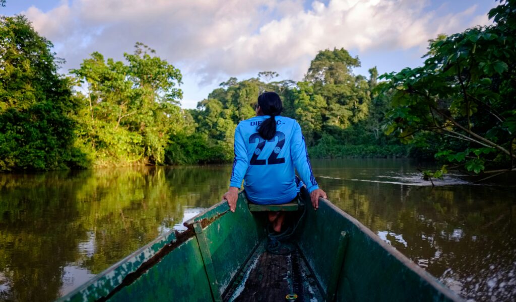
Self-driving through the Ecuadorian Oriente provides total operational independence, but it demands an understanding of vehicle capabilities, fuel distribution, and specialised driving techniques tailored to tropical environments.
Vehicle suitability categorisation
| Vehicle Class | Suitable Routes | Limitations |
| 2WD Hatchback/Sedan | Primary Paved Highways (E30, E45) / Main town connections | No off-paved capability; high risk of oil pan damage |
| High-Clearance SUV (AWD / 2WD High) Pick-up / SUV) | Paved highways, main gravel roads (e.g., Baños secondary tracks) | Limited traction in deep jungle clay or river fords |
| True 4×4 (Low-Range | Unpaved oil roads (vías petroleras) / Deep access roads (Vía Auca) | Higher fuel consumption; broader turning radius |
Vehicle selection / AWD vs true 4×4
While primary arterial highways like the E30 and E45 are paved and navigable in a standard 2WD low-clearance sedan, leaving these main arteries immediately changes the terrain requirements.
Secondary roads leading to remote communities, river ports, and petroleum extraction sectors consist of unpaved, unmaintained gravel, deep river cobbles, and thick tropical red clay.
A true 4×4 vehicle equipped with a low-range transfer case, high ground clearance, and All-Terrain (A/T) tyres (such as a Toyota Hilux, Chevrolet D-Max, or Nissan Frontier) is mandatory for off-paved exploration. Low-clearance AWD crossovers frequently damage oil pans on exposed bedrock and become immobilised in deep clay ruts.
Fuel types & distribution dynamics
Fuel in Ecuador is government-subsidised, but availability and quality vary across El Oriente.
- Super (95 Octane): High-octane premium gasoline. Highly scarce outside major gateway hubs like Baños, Puyo, Tena, and El Coca. Do not rely on finding Super at rural gas stations
- Extra / Ecopaís (85 Octane): The standard, highly subsidised unleaded gasoline available at every service station (gasolinera). Modern high-compression engines may experience minor knock on 85 octane; carry octane booster additives if operating sensitive gasoline engines
- Diésel: Widely available across all stations in the Oriente due to the massive fleet of heavy commercial trucks, buses, and oil-field machinery. High-grade diesel fuel filters are recommended for modern common-rail diesel engines, as fuel tanks at remote rural stations can accumulate water condensation and sediment
Driving hazards & environmental risks
- Petroleum Extraction Corridors (Vías Petroleras): Corridors like the famous Vía Auca (stretching south from El Coca deep into Huaorani territory) were built by oil companies. These roads consist of coarse, heavy river gravel laid over clay. Heavy industrial vehicles, including multi-axle rig transporters and fluid tankers (tanqueros), drive at high speeds down the centre of these narrow roads. Always give way to industrial traffic
- Single-Lane Bridges (Puentes de un solo carril): Bridges over jungle rivers are frequently single-lane wooden or steel structures. Check for priority yield signs (Ceda el Paso). By local convention, the driver who flashes their high beams first when approaching a narrow bridge signals their intention to claim the right-of-way, though official signage dictates legal priority. Always slow down to a complete stop before entering unlit, single-lane wooden bridges to inspect for missing deck planks or exposed rebar
- Flash Flooding & River Fords (Badenes): Unpaved secondary roads cross dozens of minor mountain streams via concrete dips (badenes). Following heavy tropical downpours, these dry or shallow crossings can transform into raging torrents in minutes. Never attempt to drive across a flooded badén if the water is murky, moving rapidly, or above the vehicle’s axle height. Wait for the surge to recede, which typically occurs within 1 to 3 hours after rainfall ceases
- Checkpoints (Controles Militares y Policiales): Due to oil infrastructure security and northern border proximity, military and police checkpoints are common along the E45 and deep secondary roads. Drivers must carry:
- Original valid passport (or Ecuadorian cédula)
- Valid driver’s licence from home country or International Driving Permit (IDP)
- Vehicle registration document (matrícula) and rental contract (contrato de arrendamiento)
The Ecuadorian Coast.
Where you’ll find the very best food
The road-to-water interface / Connecting to deep Amazon river transit
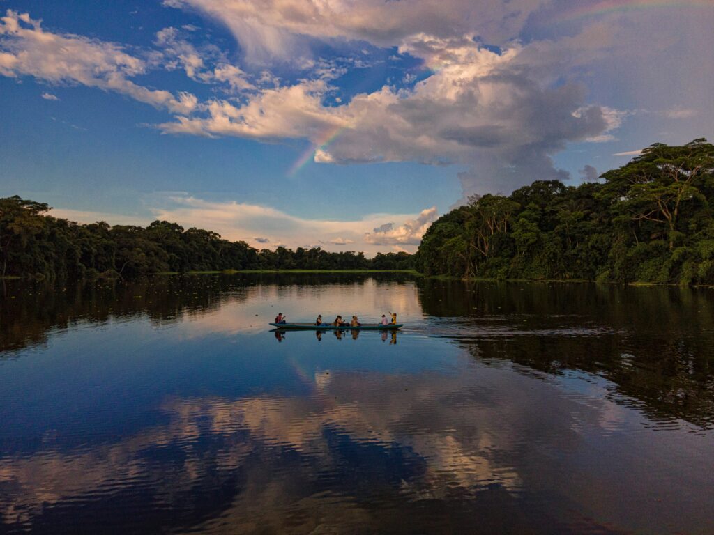
In the Amazon basin, the road network eventually ends, blocked by vast river systems, protected national parks, and roadless indigenous territories. Overland travel in El Oriente culminates at key road-to-water interfaces—transit ports where wheels are traded for motorised river canoes (canoas con motor fuera de borda or deslizadores).
1. El Puente / Tierras Coloradas (Cuyabeno access)
- Location: Situated roughly 100 kilometres east of Lago Agrio at the terminus of the paved highway
- Logistics: Vehicles cannot proceed past the bridge over the Cuyabeno River. Secure, guarded long-term parking lots (parqueaderos privados) are operated by local operators for a daily fee ($5 to $10 USD per day)
- River Transit: From El Puente, narrow motorised canoes transport passengers down the winding, blackwater Río Cuyabeno toward Laguna Grande and various eco-lodges. Boat transit times range from 2 to 3.5 hours depending on river water levels
2. Puerto Francisco de Orellana / El Coca (deep Napo corridor)
- Location: The main commercial river port on the northern bank of the wide, brownwater Río Napo
- Logistics: Long-term parking facilities are available near the commercial docks (muelle municipal)
- River Transit: Large, fast public passenger riverboats (deslizadores) depart daily from the main dock down the Río Napo toward Pañacocha, Pirococha, and the border outpost of Nuevo Rocafuerte (the gateway to crossing into Cabo Pantoja, Peru). Private canoe charters must be arranged directly with local boat captains (motoristas) at the riverfront transport office
Río Napo public boat schedule / El Coca
| Route | Departure Window | Approximate Duration | Transport Type |
| El Coca to Rocafuerte | Early Morning (7am) | 8 to 12 Hours (Depends on sandbars) | Covered Passenger (Deslizador) |
| El Coca to Pañacocha | Mid-Morning (10am) | 4 to 5 Hours | Covered Passenger (Deslizador) |
3. Puerto Misahuallí / Upper Napo access
- Location: Located 24 kilometres east of Tena via a paved regional road
- Logistics: A classic gateway town featuring secure public parking around the main square
- River Transit: Small motorised wooden canoes provide short-to-medium distance transport down the upper Napo River to community-based eco-tourism initiatives, biological stations (such as Jatun Sacha), and secondary tributaries like the Río Arajuno
Operational protocols for river transfers
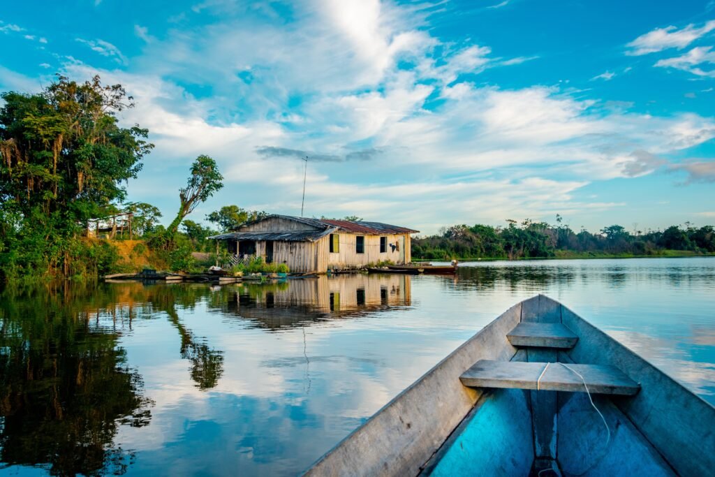
- Cargo Waterproofing: Rain during river transit can be intense, and water frequently splashes over the gunwales of low-slung canoes. All luggage must be packed inside heavy-duty waterproof dry bags or sealed within thick plastic heavy-duty contractor trash bags inside standard backpacks. Place sensitive electronics in IPX8-rated hard cases or dry pouches
- Low Water Navigation Hazards: During the lower-water season (August to December), major river systems like the Napo and Pastaza shrink, exposing vast sandbars (playas de arena). Motorised canoes frequently run aground on shallow sandbars. Passengers may be required to step out into shallow water to help push the boat into deeper channels. Wear secure, quick-drying water sandals or rubber boots (botas de caucho)
- Life Jackets (Chalecos Salvavidas): Ecuadorian maritime regulations dictate that all passengers wear approved personal flotation devices during river transit. Ensure your jacket is securely buckled before departing the dock; river currents on the Napo are deceptively strong
Quito.
Explore the Middle of the World
Seasonality, health protocols and essential documentation
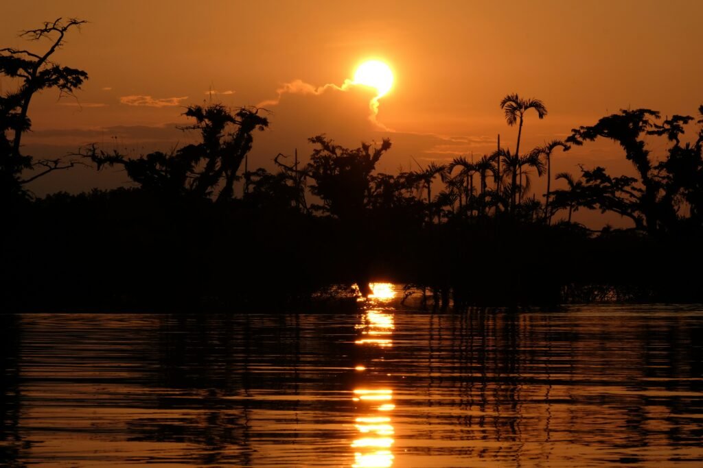
Planning a successful overland journey through the Ecuadorian Amazon requires matching travel timing with seasonal rainfall cycles, protecting health against tropical pathogens, and maintaining legal documentation.
Seasonal overland environment
| Wet Season / April to July | Low-Water Season / Aug to Dec | |
| Road Reliability | LOW High landslide frequency on mountain passes (E30, E20) | HIGH Minimal road washouts; stable asphalt and gravel |
| River Navigation | HIGH SPEED Deep channels; zero sandbar obstructions | SLOW High sandbar density; frequent boat grounding |
| Cycling Difficulty | EXTREME Heavy rain, cold drops, severe brake pad wear | HIGH High heat and humidity; dust on unpaved gravel spurs |
Climate dynamics & seasonal choice
Unlike temperate zones, El Oriente does not experience traditional spring, summer, autumn, and winter. Instead, the region operates on a tropical hydrological cycle:
- The Wet Season / April to July: Characterised by maximum precipitation across both the Andean slopes and the lowland basin. Rivers swell to maximum capacity, allowing fast, deep-channel boat travel. However, this period is hazardous for overland road travel. Landslides (derrumbes) on the descent highways (E30, E20) are frequent, causing multi-day road closures. Gravel roads turn to deep, liquid mud ruts
- The Low-Water Season / August to December: Characterised by reduced, though still significant, rainfall. Road conditions stabilise, making this the best window for self-drive expeditions and long-distance cycling. However, rivers drop dramatically, exposing shallow sandbars that slow aquatic transport down river corridors like the Napo
- The Transitional Months / January to March: Intermittent weather featuring alternating days of intense sunshine and heavy tropical storms. Generally favourable for bus travel and general tourism
Health protocols & medical preparation
Overland travel places journeyers far from high-level trauma hospitals found in Quito or Guayaquil. Regional medical clinics (Subcentros de Salud) exist in towns like Tena, Puyo, and Coca, but serious conditions require emergency evacuation to the highlands.
- Yellow Fever (Fiebre Amarilla): Vaccination against Yellow Fever is strongly recommended—and occasionally mandatory—for travel into the Amazonian provinces of Sucumbíos, Orellana, Napo, Pastaza, and Morona Santiago. Travellers should carry their official International Certificate of Vaccination or Prophylaxis (Yellow Card). The vaccine must be administered at least 10 days prior to entering endemic jungle zones
- Vector-Borne Illness Protection: Malaria risk is low in major gateway towns like Baños and Tena, but increases in remote, low-altitude jungle sectors near the Peruvian border. Mosquitoes transmitting Dengue, Chikungunya, and Zika are active throughout the basin. Mitigation strategies include:
- Applying high-concentration DEET (30%+) or Picaridin insect repellent to exposed skin
- Wearing long-sleeved, loose-fitting, light-coloured synthetic shirts and trousers treated with Permethrin
- Sleeping under fine-mesh, Permethrin-treated mosquito netting in unscreened jungle accommodations
- Water Purification & Gastrointestinal Health: Tap water in El Oriente is non-potable. Drinking untreated water will result in severe gastrointestinal infection. Cyclists and overland drivers must carry robust water treatment systems—such as hollow-fibre membrane filters (e.g., Sawyer Squeeze), UV purifiers, or chlorine dioxide chemical treatment tablets. When buying bottled water, purchase large 5-litre jugs (bidones) to minimise plastic waste.
Protected area permits & border zone safety
- Protected Reserve Access: Entering protected national parks like Yasuní National Park or the Cuyabeno Wildlife Reserve requires entering through official Ministry of Environment (MAATE) checkpoints. Independent, unguided entry into core protected zones is prohibited. Travellers must be accompanied by a licensed local naturalist guide (Guía Naturalista) and present physical identification documents at park ranger stations
- Northern Border Caution Zone: The extreme northern border zone of Sucumbíos Province (adjacent to Colombia’s Putumayo department) requires heightened awareness due to cross-border illegal activities and smuggling. Travel along the primary tourist corridor from Lago Agrio to El Puente (Cuyabeno) is well-policed and secure. However, independent off-paved exploration along unguided secondary roads north of the Río San Miguel or Río Putumayo should be avoided. Stick to established primary highways and official transit hubs
Practical execution for the Oriente overland journey
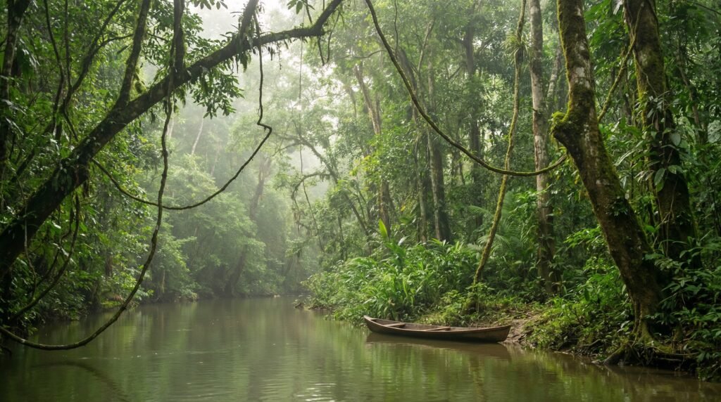
Overland travel across the Ecuadorian Amazon is a study in dynamic adaptation. Within a single day, an overland traveller can transition from shivering in an alpine mountain pass at 4,000 metres to steering a 4×4 through deep clay ruts or descending a roaring river canyon on a bicycle.
Pre-trip preparation
- Yellow Fever Vaccination: Card in hand
- Small USD Cash Denominations: $1, $5, $10
- Waterproofing: Heavy-duty Dry Bags & Contractor Trash Bags
- Offline Navigation Maps: Downloaded maps.me / OsmAnd files
Transport execution
- Bus Travel: High-value daypack stays on lap; baggage stub secured
- Cycling: Hydraulic brakes with metallic pads; high-lumen lights active
- Self-Drive: 4×4 low-range for secondary tracks; monitor single-lane bridges
River transition
- Secure vehicle long-term at port-guarded parking
- All electronics sealed in waterproof IPX8 cases
- Life jackets fastened securely prior to engine start
By respecting the sheer scale of the Andean descent, preparing vehicles and bicycles for the destructive effects of wet grit and tropical heat, and understanding where the road yields to the river, travellers can navigate one of South America’s most intense transport corridors with complete self-reliance.
Always check real-time road conditions with local authorities (ECU 911) prior to departing high-altitude hubs, maintain a flexible schedule to absorb landslide delays, and embrace the wild transition as the mountains collapse into the great Amazonian plain.
Cuenca.
The Athens of Ecuador
Claim the unpaved frontiers of El Oriente
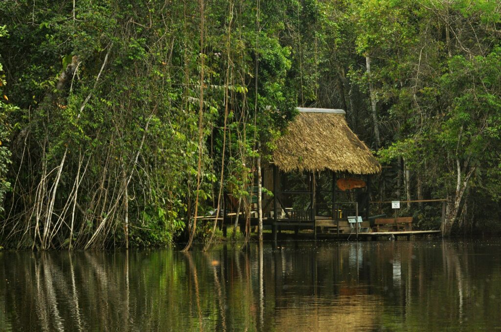
Traversing the Ecuadorian Amazon by land is a reminder of how quickly the natural world can overpower human engineering. One hour you are shivering in the high alpine fog of Papallacta, wrapping woollen layers against the mountain wind; the next, you are wiping equatorial sweat from your brow as the scent of damp earth and humid canopy fills the air. It is a journey where progress is measured not in miles logged on a GPS, but in the gradual shift of soil, air density, and ambient river noise.
Independent travel across El Oriente rewards those who trade rigid itineraries for spatial awareness and mechanical self-reliance. Whether you choose to ride the brakes down steep canyon switchbacks, secure your bike in the luggage bay of a local interprovincial bus, or steer a four-wheel drive along gravel oil routes, success hinges on respecting local conditions. Landslides clear when the diggers arrive, rivers recede when the downpours subside, and local driver etiquette reveals itself at every single-lane timber bridge.
Where the tarmac eventually gives way to brownwater river channels, the true wilderness of the Amazon basin begins. Stepping off the dock into a narrow motorised canoe with your gear sealed against the elements marks the ultimate transition in South American travel. Prepare your equipment thoroughly, monitor the mountain weather forecasts, carry small bills in your pocket, and let the contours of the landscape dictate the pace of the ride.
Affiliate Disclaimer: Some of the links on Wheely Tyred are affiliate links. If you click through and make a booking or purchase, we may earn a small commission at no extra cost to you. We only recommend gear, tours, stays, and services we genuinely use, trust, and stand behind — our editorial independence always comes first. These commissions help keep our independent cycling guides and travel stories free to read. Thanks for supporting the ride!
Frequently asked questions about overland travel in the Ecuadorian Amazon
Long-distance interprovincial buses depart regularly from Quito’s Terminal Terrestre Quitumbe in the south of the city. Services operated by carriers like Transportes Baños and Cooperativa Amazonas run direct routes to Tena, Puyo, and El Coca, taking between five and eight hours depending on mountain road conditions and high-altitude fog.
It is physically rewarding but technically demanding. The routes feature dramatic vertical drops, heavy industrial oil-truck traffic, unlit tunnels, and rapid temperature shifts. You must equip your bicycle with reliable hydraulic disc brakes, sintered metallic pads, high-lumen front and rear lights, and wide tubeless tyres to handle wet asphalt, landslides, and gravel bypass routes.
For travel along the main arterial highways (such as the paved E30 and E45), a standard two-wheel-drive vehicle is sufficient. However, if you plan to venture onto secondary unpaved tracks, gravel logging routes, or petroleum extraction corridors like the Vía Auca, a true high-clearance 4×4 with a low-range transfer case and All-Terrain tyres is mandatory.
Major river interfaces like El Puente (for the Cuyabeno Wildlife Reserve) and Puerto Francisco de Orellana / El Coca (for the Río Napo) have guarded, private long-term parking lots (parqueaderos privados). You can safely leave your vehicle for a daily fee of roughly $5–$10 USD while you venture into deeper Amazon reserves by motorised canoe.
Ecuador uses the US dollar. While credit cards are accepted at major petrol stations and hotels in primary gateway cities like Baños, Tena, and Puyo, they are virtually useless in rural transport hubs or at river ports. Always carry physical cash in small denominations ($1, $5, and $10 notes), as bus conductors, boat captains, and rural fuel stations rarely have change for larger bills.
Tap water throughout El Oriente is non-potable. Independent travellers should carry robust water purification systems—such as hollow-fibre membrane filters or chlorine dioxide tablets—or purchase large 5-litre water containers to refill personal bottles. Additionally, ensure you carry your Yellow Fever vaccination certificate and use DEET or Picaridin insect repellent to guard against vector-borne illnesses in lowland areas.
Ecuador.
Pure wonder on the equator.


