
Overland travel in Ecuador / Complete vehicle, bus & cycle guide
Comprehensive bikepacking logistics, technical route guides and overland travel advice for independent travellers
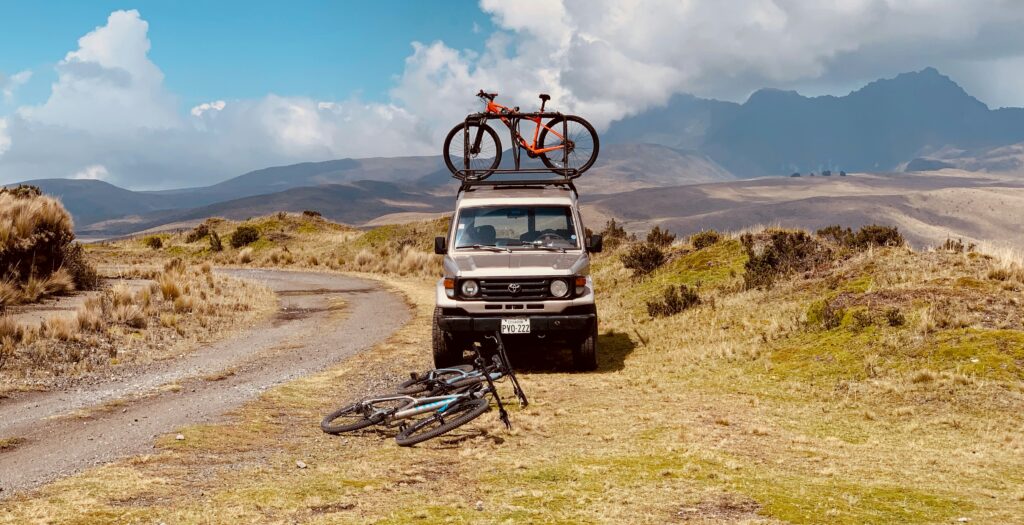
Life on two wheels and the open road

BEN FINCH
Overland movement across Ecuador is governed not by horizontal distance, but by rapid, unrelenting changes in altitude. Contained within a compact geographical footprint, the country presents a steep vertical profile.
A vehicle or bicycle travelling inland from the Pacific coast (la costa) reaches high mountain passes (la sierra) above 4,000 metres within 120 kilometres of driving, before descending steeply into the dense Amazonian river basins (el oriente).
This compressed terrain turns Ecuador into a key junction for long-distance overlanders navigating the Pan-American Highway. While driving distances between major regional hubs are relatively short—Quito to Cuenca is roughly 460 kilometres—the physical demands placed on chassis, drivetrains, braking systems, and human physiology are severe.
Atmospheric pressure drops from 1,013 hPa at sea level to approximately 600 hPa on the high alpine passes of the páramo. This thin air directly alters engine air-fuel ratios, reduces effective horsepower, accelerates tyre pressure expansion, and limits athletic endurance.
Understanding overland transit in Ecuador requires viewing the country as three parallel vertical zones running north to south.
The western lowland corridor is dominated by heavy coastal humidity, agricultural traffic, and flat asphalt. The central Andean spine consists of narrow, high-altitude passes, cobblestone paths (adoquinado), volcanic switchbacks, and severe temperature fluctuations. The eastern Amazonian descent features shelf roads, high rainfall, unpaved gravel (ripio), and frequent landslips.
Navigating these zones successfully requires careful attention to vehicle preparation, border paperwork, routing choices, and local transport logistics.
Essential takeaways for the Ecuadorian road
Navigating Ecuador’s vertical topography demands mechanical preparation, administrative rigour, and a genuine respect for rapidly shifting microclimates. Here are the fundamental principles to master before rolling toward the border.
- Border Logistics: Secure your Temporary Import Permit (TIP) directly at Aduana without needing a Carnet de Passages, ensuring your vehicle clearance strictly aligns with your 90-day tourist entry stamp
- Engine & Altitude: Expect up to a 40% reduction in naturally aspirated engine performance when crossing passes above 4,000 metres in the páramo, where thin air and cold night temperatures increase DPF soot build-up
- Avenue of the Volcanoes: Follow the paved E35 highway past Volcán Cotopaxi and Volcán Chimborazo, keeping small USD cash denominations ready for local toll plazas (peajes)
- Backcountry Bikepacking: Tackle the Trans-Ecuador Mountain Bike Route (TEMBR) on tubeless 2.1-inch tyres with ultra-low gearing to manage 18% cobble pitches (adoquinado)
- Bus Logistics: Move gear or bicycles across regions via high-deck interprovincial coaches at Terminales Terrestres, ensuring you retain your physical baggage claim stub (comprobante)
- Overnight Stops: Utilise gated 24-hour urban parqueaderos, request permission from indigenous comunidades when wild camping, or park outside local Unidad de Policía Comunitaria (UPC) stations
The Ecuadorian Sierra.
Get lost in the hills
Border logistics and vehicle documentation bureaucracy
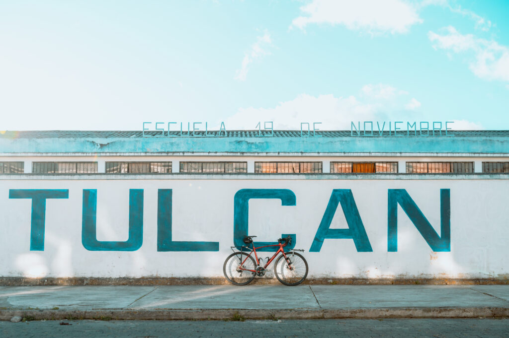
Entering Ecuador by land involves crossing from either Colombia in the north or Peru in the south. The two primary northern border posts connect Ipiales (Colombia) to Tulcán (Ecuador) via the Rumichaca bridge.
Southern entry points connect Tumbes (Peru) to Huaquillas via an international canal bridge or an expressway bypass, while a quieter inland southern crossing links Piura (Peru) to Macará.
Temporary Import Permit processing (Aduana)
Motor vehicles entering Ecuador require a Temporary Import Permit (Permiso de Internación Temporal de Vehículos – TIP). The permit is issued directly at the border by Aduana under the direction of the Servicio Nacional de Aduana del Ecuador (SENAE). Ecuador does not require a Carnet de Passages en Douane (CdP).
- Passport Stamping: The vehicle owner must first present themselves at immigration (Migración) to obtain an entry stamp in their physical passport. The duration of the vehicle TIP will strictly match the length of the driver’s tourist entry stamp—typically 90 days for most nationalities
- Customs Inspection & Issuance: Proceed directly to the SENAE customs office located within the border complex (Centro Nacional de Atención en Frontera – CENAF). The customs officer will physically inspect the vehicle’s Vin/chassis number and issue the digital and physical TIP document
- Extensions: If you extend your 90-day tourist visa through the Ministry of Interior, you must present the visa extension at a regional SENAE customs office (located in major provincial capitals such as Quito, Guayaquil, or Cuenca) before the original TIP expires to align the vehicle permit with your legal stay
Mandatory documentation
Drivers must present physical originals along with at least two clear, printed colour copies of all required documents at the SENAE border counter:
- Physical Passport: Valid for a minimum of six months beyond the planned date of departure
- Vehicle Title and Registration: The original ownership document must list the driver as the explicit legal owner
- Driving Licence: A valid national driving licence from the driver’s home country, accompanied by an International Driving Permit (IDP)
- Power of Attorney (Poder Notarial): If the vehicle title is registered under a corporate entity, business name, or a third party not present in the vehicle, you must present an apostilled, notarised letter of authorisation written in Spanish, explicitly granting permission to drive the specific vehicle (identifying VIN, engine number, and licence plate) into Ecuador
Note on Periodic Security Protocols: During national states of emergency or heightened regional security declarations, Ecuadorian border authorities may require foreign nationals entering via land borders to present an apostilled criminal record certificate (certificado de antecedentes penales) issued by their country of origin or last country of residence. Check official SENAE announcements before reaching the border post.
Compulsory insurance (SOAT / SPPAT)
Ecuador’s compulsory third-party bodily injury insurance—formerly known as SOAT and updated under the management of SPPAT (Sistema Público para Pago de Accidentes de Tránsito)—is legally required for all vehicles operating on national roadways.
While border insurance kiosks can be inconsistently staffed at smaller crossings like Macará, foreign-registered vehicles are subject to verification at fixed police checkpoints (controles policiales) operated by the Policía Nacional del Ecuador along the E35 corridor.
If insurance cannot be purchased at the border booth, drivers must secure a short-term third-party policy at an insurance agency office in the first major commercial town (such as Tulcán, Ibarra, or Machala).
The Galápagos.
Ecuador’s Enchanted Isles
Vehicle preparation, fuel, and mechanical demands
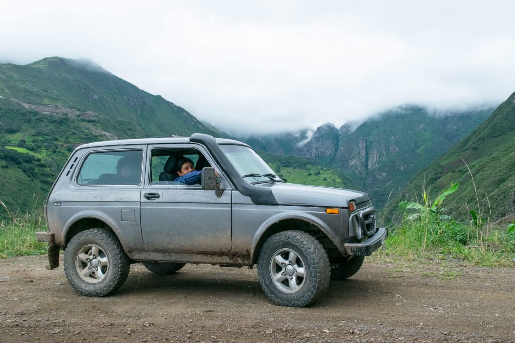
Navigating Ecuador’s varied elevation profiles places unusual mechanical stress on internal combustion engines, cooling systems, friction surfaces, and suspension components.
Fuel standards and filtration requirements
Ecuador offers three primary fuel varieties across its nationwide network of state-run (Petroecuador) and private (Primax, Terpel, Mobil) service stations:
- Petrol (Gasolina Extra / EcoPaís): Standard subsidised petrol with an octane rating of 85 AKI. EcoPaís contains an ethanol blend of up to 5–10%. This fuel is susceptible to phase separation in cold, high-altitude, damp conditions
- Premium Petrol (Gasolina Súper): Non-subsidised, higher-octane fuel rating between 92 and 95 AKI. Strongly recommended for high-compression, modern turbocharged engines to prevent pre-ignition knocking when climbing steep mountain gradients
- Automotive Diesel: Low-sulphur diesel is available nationwide. However, storage tanks at rural fuel stations in remote areas can accumulate water condensation and particulate contamination
Overlanders operating diesel vehicles must install an aftermarket dual fuel-filter assembly equipped with a clear water-separator bowl (such as a Racor filter unit) prior to entering the country.
Drain the water-separator bowl weekly, and carry spare primary and secondary fuel filters. Cold temperatures in high mountain passes (dropping below 0°C at night) can also cause paraffin waxing in untreated diesel fuel.
Engine strain and altitude compensation
Naturally aspirated petrol and diesel engines lose approximately 3% of their power output for every 300 metres of elevation gain due to reduced atmospheric oxygen density. At a 4,000-metre pass, an engine will experience a power loss of 35–40%.
Modern turbocharged engines compensate for thin air by increasing turbine speeds, but this causes higher exhaust gas temperatures (EGTs) and places additional thermal stress on turbocharger bearings.
Vehicles equipped with a Diesel Particulate Filter (DPF) face specific issues above 3,500 metres: incomplete diesel combustion produces higher levels of soot, leading to rapid DPF clogging.
Forced ECU regenerations may fail at high altitude due to low ambient air density, triggering engine fault codes or limp mode.
Ensure your diagnostic tool can read and reset manufacturer-specific fault codes, and clean or regenerate the DPF before tackling long mountain climbs.
Tyres, brakes, and suspension management
- Tyre Choice: Select light-truck (LT) load-rated All-Terrain (A/T) or Mud-Terrain (M/T) tyres with reinforced three-ply sidewalls. Unpaved ripio mountain tracks consist of sharp volcanic rock that easily punctures standard passenger car tyres
- Inflation Pressures: Ambient temperature and elevation changes cause tyre pressures to expand and contract. Monitor cold pressures when moving between the hot Pacific lowlands and freezing mountain passes. Lower tyre pressures slightly (by 15–20%) when driving long stretches of washboard corrugation to cushion the chassis and maintain traction
- Braking Systems: Extended 1,500-metre descents—such as dropping from the Andes down toward the Amazon basin—can quickly overheat brake pads and boil old fluid, causing severe brake fade. Downshift into low manual gears (Gear 2 or 1) to use engine braking, and ensure brake fluid is thoroughly flushed with fresh, high-boiling-point DOT 4 fluid before entering the country
| Technical Factor | Pacific Coast / Amazon Lowlands | Andean Passes (páramo) |
| Typical Elevation | 0–500 m | 3,000–4,500 m |
| Engine Performance | Baseline combustion efficiency | 35–40% power loss (naturally aspirated) |
| Fuel Considerations | Condensation/water contamination risk | Incomplete combustion / DPF soot clogging |
| Tyre Management | Standard highway inflation pressures | Reduced pressure for traction on wet ripio |
| Braking Stress | Low to moderate flat thermal load | Extreme heat load on long downhill descents |
The Ecuadorian Amazon.
The most biodiverse place in the world
Key overland routes and corridor analysis

Ecuador’s road infrastructure consists of primary multi-lane toll expressways, two-lane national highways, and unpaved secondary routes that require low-range four-wheel drive during the rainy season.
The Avenue of the Volcanoes / Pan-American Highway (E35)
The main spine of Ecuadorian overlanding is the E35 highway, running directly through the central inter-Andean valley between two parallel volcanic ranges.
Starting at the northern border town of Tulcán (2,950 m), the road winds southward down through Ibarra before reaching the high-altitude urban basin of Quito (2,850 m). South of Quito, the E35 widens into a well-maintained, multi-lane toll route passing directly alongside Volcán Cotopaxi (5,897 m).
Toll plazas (peajes) are spaced approximately every 80 to 100 kilometres, costing $1.00 USD per standard passenger vehicle or light overland rig (cash only; keep small denominations ready).
Key diversions off the main E35 spine include:
- The Quilotoa Loop: Leaving the E35 at Latacunga, this loop ascends along narrow, paved and unpaved shelf roads up to the volcanic crater lake of Lagunas de Quilotoa (3,900 m). The route demands tight low-speed cornering and good low-end engine torque
- The Chimborazo Pass (E492): Bypassing Ambato and Riobamba, the E492 climbs past the flanks of Volcán Chimborazo (6,263 m), reaching an elevation of 4,374 metres. The asphalt is smooth, but wind gusts, freezing rain, sudden thick fog, and vicuña herds wandering onto the road require slow, focused driving
The cloud forest descent to the Pacific
Dropping off the western ridge of the Andes toward the coastal plains involves navigating dense cloud cover, steep gradients, and wet asphalt.
The primary route connects Quito to Mindo and Puerto Quito via the E28 highway. The road descends over 2,000 vertical metres in less than 70 kilometres.
Moist air blowing in off the Pacific collides with the cold Andean wall, creating dense fog bands between 2,200 and 1,400 metres elevation, often reducing visibility to under ten metres.
Vehicles should run low-beam headlights and dedicated yellow fog lights, maintaining large safety distances from heavy commercial trucks. Smooth driving inputs are necessary to maintain tyre traction on oil slicks across the damp asphalt surface.
Southern highlands and Parque Nacional Cajas
Connecting the southern colonial city of Cuenca (2,560 m) to the coastal port hub of Guayaquil, the E58 highway cuts directly through Parque Nacional Cajas.
The route tops out at the Tres Cruces pass at 4,160 metres elevation. The terrain is characterised by exposed tundra, glacial lakes, and cold microclimates.
Rain showers frequently turn into sleet or hail, creating slick surface conditions. The descent from Cajas down to the coastal plain near Molleturo features a steep, sustained gradient dropping over 3,800 metres in just 60 kilometres.
Landslips (derrumbes) are common along the exposed rock walls near Molleturo; drivers must watch for fallen rocks on the asphalt around blind corners.
The Amazonian slope descent (El Oriente)
Transitioning from the Andean highlands down to the eastern Amazonian lowlands requires following steep river canyons along shelf routes cut into the mountain walls.
The main artery is the E30 highway, running eastward from Baños de Agua Santa down the Pastaza River canyon toward Puyo and Tena. Known historically as the Ruta de las Cascadas, the route passes through a series of concrete tunnels and along narrow shelf roads above the river gorge.
Heavy rainfall causes waterfall spray to blow across the road surface, while unlined tunnels require drivers to remove sunglasses and turn on lighting systems well before entering.
East of Puyo, the road flattens out into two-lane asphalt cutting through humid rainforest lowlands, where heavy downpours can cause deep standing water and hydroplaning risks.
The Ecuadorian Coast.
Where you’ll find the very best food
Independent bicycle touring and bikepacking
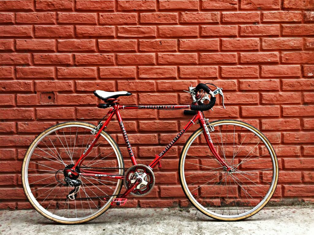
Traversing Ecuador by bicycle offers direct engagement with the landscape, but demands high physical endurance, appropriate low gearing, and reliable cold-weather gear.
Surface friction and route choice
Cyclists crossing Ecuador generally choose between two distinct styles of riding:
- Paved Pan-American Touring: Following the paved primary network (E35 and secondary highways). Northern sectors around Ibarra and Quito feature wide asphalt shoulders, but shoulder space disappears in southern provinces such as Cañar and Loja. Cyclists must contend with close passes from fast-moving interprovincial buses and heavy transport trucks
- Backcountry Dirt Route (TEMBR): The Trans-Ecuador Mountain Bike Route (TEMBR) is an established off-road bikepacking route that follows dirt tracks, unpaved ripio, cobbles (adoquinado), and remote singletrack across the páramo. Drivetrains and tyres take a beating from rough volcanic stone. Tubeless tyre setups running widths between 2.1 and 2.4 inches are essential to prevent pinch flats and seal thorn punctures
Altitude, gearing, and mechanical load
The physical effort required to move a loaded touring bicycle (carrying 15–25 kg of camping gear and supplies) up Ecuadorian mountain passes is immense.
- Paved Highway Climbs: 8% to 12% sustained gradients
- Unpaved Backcountry Pitch: 15% to 22% on loose stone & cobble (adoquinado)
Unpaved secondary roads frequently feature steep pitches exceeding 18%. Standard road or gravel bike gearing is insufficient. Touring setups require ultra-low mountain bike gearing—such as a 22T inner chainring on double cranksets, or a 28T or 30T chainring paired with a 50T or 52T cassette on 1x drivetrains.
At elevations above 3,500 metres, oxygen scarcity reduces an athlete’s sustainable power output by up to 30%. Pace yourself conservatively, monitor heart rate, and schedule rest days when ascending into high altitude.
Weather conditioning and clothing systems
Microclimates change rapidly in the Andes. A cyclist can experience 28°C humid heat while climbing out of a low river valley in the morning, followed by 2°C freezing rain and gale-force headwinds at a high mountain pass by early afternoon.
Your clothing system must adapt quickly to these drastic shifts:
- Base Layers: High-wicking merino wool or synthetic base layers to move sweat away from the skin during high-exertion climbs
- Insulation: Lightweight, packable down or synthetic mid-layers for long, cold descents
- Outer Shell: A high-performance waterproof hardshell jacket featuring a minimum 20,000 mm hydrostatic head rating, accompanied by full-finger windproof gloves and waterproof shoe covers
- Luggage Waterproofing: All gear must be stored inside fully waterproof dry-bag panniers (such as Ortlieb) or seam-sealed bikepacking bags
Bicycle mechanics, spare parts, and logistics
High-end bicycle components—such as 11/12-speed chains, hydraulic disc brake pads, tubeless sealant, 29-inch folding tyres, and modern bottom brackets—are readily available in major urban centres like Quito, Cuenca, and Guayaquil.
However, small rural towns (pueblos) stock only basic components for 6/7-speed utility bicycles, heavy inner tubes with Schrader valves, and mechanical rim brake pads. You will find excellent bike mechanics in Tulcán, and Ipiales has good bike shops.
Cyclists must carry a complete field repair kit:
- Spare derailleur hanger specific to your frame model
- Two pairs of replacement brake pads
- Spare tubeless valves, sealant, plugs, and a high-volume hand pump
- Spare spokes, a chain tool, and multiple quick-links
- A multi-tool with integrated Allen keys and Torx bits
Road safety, dogs, and resupply strategy
- Territorial Farm Dogs: Free-roaming territorial dogs (perros de finca) pose a common hazard on quiet backcountry routes. Carry a firm voice, squirt water from a bottle, or use an ultrasonic deterrent to keep aggressive dogs at bay without causing harm
- Water Treatment: Surface water in rural areas is exposed to high-altitude cattle grazing and agricultural runoff. All drinking water collected from taps, streams, or rural pumps must be treated using a hollow-fibre membrane filter (such as a Sawyer Squeeze) or purified with chlorine dioxide tablets
- Food Resupply: Village supply stores (tiendas) are well-stocked with basic staples: eggs, rice, canned tuna, oats, bananas, and blocks of raw unrefined cane sugar (panela), which makes an excellent high-calorie energy drink when dissolved in water. Carry 2 to 3 days of food when entering remote sectors of the TEMBR
Quito.
Explore the Middle of the World
Interprovincial buses and public transport navigation
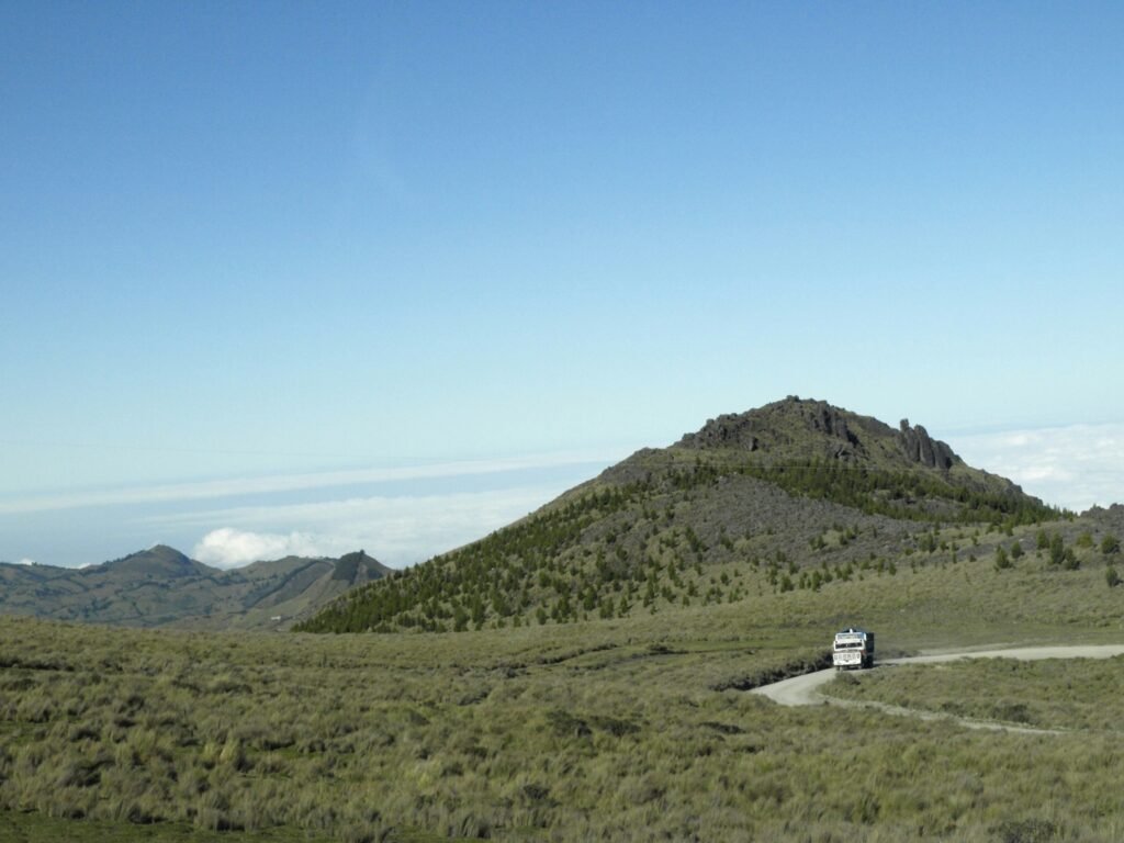
Ecuador operates an extensive, affordable, and highly efficient interprovincial bus system. Understanding how this public transit network functions is crucial for overlanders who need to move between regions without their vehicle, transport bicycles across difficult terrain, or recover from mechanical breakdowns.
Bus network architecture and terminal logistics
Long-distance transit operates out of dedicated, centralised bus terminals known as Terminales Terrestres. Major transit hubs include:
- Quito Terminal Terrestre Carcelén: Located in the far north of the city; serves northern destinations including Otavalo, Ibarra, and the border town of Tulcán
- Quito Terminal Terrestre Quitumbe: Located in the far south of the city; serves southern Andean destinations (Cotopaxi, Ambato, Baños, Cuenca) and all coastal/Amazonian routes
- Terminal Terrestre de Guayaquil: A massive multi-level transport complex situated adjacent to the airport, connecting the coast to the highlands
- Terminal Terrestre de Cuenca: Central point for southern mountain and Amazon basin routes
Ticket pricing is regulated by the national transit agency (Agencia Nacional de Tránsito – ANT), averaging approximately $1.50 to $2.00 USD per hour of travel.
Tickets must be purchased directly from official cooperative ticket counters (boleterías) inside the terminal building prior to boarding.
Passengers must also pay a minor municipal terminal departure tax ($0.25 to $0.50 USD) at automated turnstiles before entering the boarding gates.
Luggage bay mechanics (bancada de equipaje) and bicycle transport
Interprovincial long-distance routes are serviced by high-deck coach buses manufactured by companies like Marcopolo, Yutong, or Hino. These buses feature spacious under-floor luggage compartments (bodegas).
Overland crates, large duffel bags, and bicycles can be loaded into these lower bays:
- Loading Bicycles: Bicycles can easily be transported in the bodega. Remove the front wheel, rotate the handlebars parallel to the frame, and use a strap or bungee cord to secure the loose wheel to the frame. It is illegal for bus operators to charge for carrying a bicycle
- Claim Check Security: Ensure the baggage handler attaches a printed adhesive claim stub (ticket de equipaje) to your bicycle, crate, or bag, and hands you the matching physical claim ticket. Do not board the bus until you have verified your luggage is loaded and you hold the claim check
Bus tiers / Executive coaches vs rural rancheras
- Long-Distance Executive Coaches (Autobuses Ejecutivos / Semicama): Operated by established nationwide cooperatives such as Flota Imbabura, Cooperativa Loja, or Transportes Occidental. Features include reclining seats, onboard restrooms, speed monitors, and direct express service along primary routes like the E35
- Rural Rancheras (or Chivas): Open-sided, wooden-bodied trucks fitted with heavy bench seating. These classic vehicles operate in rural mountain areas, coastal farming regions, and Amazonian foothill zones. They provide essential access to unpaved secondary roads, steep mountain trailheads, and small farming communities where standard high-deck coach buses lack ground clearance or traction
| Executive coach | Rural ranchera / chiva |
| Direct express intercity | Open-sided, wooden bench seating |
| Paved highways (E35) | Open-sided, wooden bench seating |
| Air-conditioned, enclosed | Reaches unpaved secondary trails |
Safety, cabin security, and route dynamics
While baggage stored in the locked under-bus bodega is generally secure, opportunistic cabin theft can occur inside the passenger cabin on long-distance routes—particularly during intermediate stops when local vendors board the bus.
- Carry-on Security: Keep small daypacks containing physical passports, credit cards, cameras, and laptops on your lap or placed directly between your feet. Never place bags containing valuables in the overhead open luggage racks (portaequipajes) above the seats
- Thermal Drops and Altitude: Interprovincial buses navigate the same high mountain passes as private vehicles—such as crossing the Papallacta pass at 4,000 metres en route to Tena, or Parque Nacional Cajas en route to Guayaquil. Cabin temperatures drop rapidly at night in these high passes. Keep a warm jacket and water in your carry-on daypack
Cuenca.
The Athens of Ecuador
Camping, secure stops, and overnight logistics
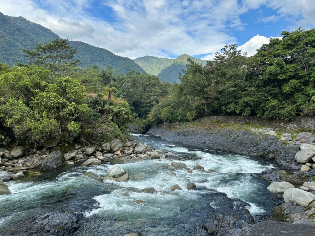
Finding safe, flat, and legal overnight parking is straightforward across Ecuador if you follow established overlander etiquette and leverage local security resources.
Established overlander sanctuaries
Several dedicated overlander hubs operate across the country, providing secure parking, high-clearance access, mechanical wash bays, electrical hookups, and border preparation logistics:
- Finca Sommerwind (Ibarra): Located on the shores of Laguna de Yahuarcocha, just 75 kilometres south of the Tulcán border post. Run by overlanders, this is the primary northern staging ground for entering or exiting Ecuador. It features mechanical tools, fresh water fills, and reliable Wi-Fi
- Quito & Cuenca Hostal Grounds: Dedicated overlander-friendly hostals in outlying sub-districts (such as Tumbaco outside Quito or San Joaquin outside Cuenca) offer gated parking for tall 4×4 rigs and campervans
Wild camping mechanics and community land (comunidades)
Wild camping is viable along remote mountain corridors, river beaches in the Amazonian foothills, and high-altitude páramo plains. However, much of the rural Andean highland territory is communal land owned and administered by indigenous communities (Comunidades).
Always seek permission before setting up camp on communal land:
- Locate a community leader or representative (Cabildo or Presidente de la Comunidad)
- Politely explain your situation, show your vehicle, and ask for permission to park overnight (“¿Buenas tardes, nos permite acampar aquí por esta noche?”)
- Community members are almost always welcoming when approached directly. Offer a modest contribution or purchase local farm produce in return
- Environmental Etiquette: Cold high-altitude ecosystems recover slowly. Pack out all rubbish, use self-contained toilet systems, and avoid lighting open wood fires in dry páramo grass
Urban security and transit parking
When overnighting in major urban centres or along busy transit corridors, use secure commercial options:
- 24-Hour Guarded Parking Lots (Parqueaderos 24 Horas): Located near city centres, these fenced, off-street lots provide affordable overnight security. Confirm overhead clearance heights before pulling high-roof vehicles or rooftop tents inside
- Police Station Grounds (Unidad de Policía Comunitaria – UPC): In smaller rural towns or along national highways, you can pull up to a local UPC police station and ask the officers on duty if you may park your rig directly outside or within their gated courtyard overnight. They will almost always accommodate overlanders safely
- Fuel Station Plazas: Major 24-hour service stations (such as Primax or Terpel stops located along the E35 expressway) feature well-lit parking lots, security cameras, commercial restrooms, and night security personnel. Park away from heavy diesel truck idling lanes to sleep quietly
Laguna de Cuicocha.
Lake of the guinea pig
Navigation, road hazards, and driving etiquette
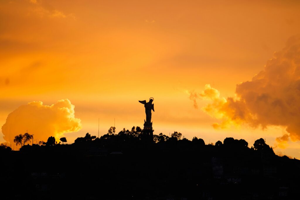
Driving in Ecuador requires active hazard scanning, an understanding of unwritten local road etiquette, and reliable offline mapping tools.
Unmarked road hazards
- Speed Humps (Chapas Acostados / Reductores de Velocidad): Unmarked concrete speed humps are widespread across Ecuador. They appear suddenly at the entry and exit points of every small village, near rural schools, and along major highways. Hitting a chapa acostado at speed can severely damage tie rods, suspension arms, and tyre beads. Watch for informal warning signs, painted roadside lines, or tyre skid marks on the asphalt
- Landslides and Washouts (Derrumbes): Heavy tropical rains on steep Andean slopes can trigger rockfalls and road washouts. Local drivers warn oncoming traffic of a hazard ahead by placing leafy tree branches, small piles of rocks, or plastic water jugs on the road surface. If you see branches lying in your lane, slow down immediately
- Missing Drainage Covers: Metal storm-drain covers and manhole lids are occasionally missing on city streets and rural secondary roads, leaving deep tire-traps exposed
Night driving risks
Do not drive or ride after dark in Ecuador — there are drunks on the road.
Operating vehicles at night presents unnecessary risks:
- Unlit agricultural machinery, heavy trucks, and utility motorbikes operating without tail lights
- Pedestrians and stray animals walking along shoulderless mountain roads
- Sudden visibility loss from thick cloud fog and unexpected rainstorms in high passes
- Increased risk of opportunistic roadside crime or armed robbery along isolated coastal transit corridors
Plan your driving itinerary to arrive at your intended overnight camping spot, hotel, or secure parking area by 16:30, well before twilight ends around 18:00.
Digital navigation and map management
Cellular data coverage (via local SIM cards from Claro or Movistar or an eSim) is generally strong across the central inter-Andean valley and in major towns. However, signals drop out completely in deep mountain canyons, dense forest slopes, and Amazonian basins.
Rely on offline vector mapping applications:
- iOverlander: Essential for finding updated user-submitted information on border procedures, campsite locations, fuel station reports, mechanic recommendations, and safety warnings
- Maps.me or OsmAnd: Download complete offline OpenStreetMap (OSM) vector map files for Ecuador before entering the country. OsmAnd provides detailed topographic contour lines, elevation profiles, and surface track classifications useful for secondary gravel roads and bikepacking routes
- Google Maps: Useful for real-time city routing in Quito and Guayaquil, but can mistakenly route vehicles down impossibly narrow, stair-stepped, or unpaved pedestrian paths in mountain villages. Cross-reference suggested routes against offline topographic maps before turning off primary highways
Cajas National Park.
The most beautiful national park
Master the vertical highway
Driving or riding across Ecuador is ultimately an exercise in managing physical pressure and vertical scale. Few places on earth condense such extreme geographical transitions into single-day journeys, requiring travellers to adapt constantly to altered engine dynamics, shifting tyre pressures, and sudden weather shifts.
Success on these roads depends far more on steady mechanical awareness and respect for local infrastructure than on sheer speed.
Whether you are managing fuel filtration along the Amazonian slope, gearing down a loaded touring bicycle on the cobbles of the páramo, or securing a bus ticket at a noisy Terminal Terrestre, independent travel here rewards methodical preparation. The country’s transport networks and border systems are remarkably efficient once you understand their underlying logic and paperwork routines.
As you plot your trajectory across the equator, keep your vehicle well-maintained, respect the rhythm of mountain daylight, and engage directly with the communities along the route.
Ecuador may be one of the smallest nations on the South American continent, but its roads present one of the most intense, rewarding overland journeys anywhere along the Pan-American Highway.
Affiliate Disclaimer: Some of the links on Wheely Tyred are affiliate links. If you click through and make a booking or purchase, we may earn a small commission at no extra cost to you. We only recommend gear, tours, stays, and services we genuinely use, trust, and stand behind — our editorial independence always comes first. These commissions help keep our independent cycling guides and travel stories free to read. Thanks for supporting the ride!
Frequently asked questions about overland travel in Ecuador
No, Ecuador does not require a Carnet de Passages. Customs (Aduana) issues a free Temporary Import Permit (TIP) directly at land border posts such as Tulcán or Huaquillas, matched to the duration of the driver’s tourist visa stamp.
High-compression petrol engines should run on non-subsidised Gasolina Súper (92–95 octane) to prevent engine knocking at altitude. Diesel vehicles require low-sulphur diesel paired with a reliable water-separator filter to handle condensation in rural storage tanks.
Yes, long-distance interprovincial buses feature large under-floor luggage bays (bodegas). You can load a bicycle by removing the front wheel and turning the handlebars parallel to the frame. It is illegal for drivers or the companies to charge a fee.
Wild camping is viable, but much of the rural highland territory belongs to indigenous communities (Comunidades). Always seek permission from a local community leader (Cabildo) before setting up camp, or use gated parqueaderos and police station grounds (UPC) in urban transit zones.
Given sustained gradients of 15% to 22% on unpaved cobble (adoquinado) and dirt tracks, cyclists require ultra-low mountain bike gearing, such as a 22T inner chainring on double setups or a 28T/30T front chainring paired with a 50T/52T cassette.
There is a lot of drunk driving. Driving after dark is also hazardous due to unlit agricultural machinery, roaming livestock on mountain passes, sudden dense fog banks in cloud forests, unmarked speed humps (chapas acostados), and elevated security risks on isolated coastal corridors.
Ecuador.
Pure wonder on the equator.

