
Exploring the flooded history of the Ecuadorian Amazon
A historical guide to the Cuyabeno Wildlife Reserve, indigenous communities, and eco-tourism in Ecuador
Where the waters dictate the rhythm of independent exploration

BEN FINCH
The transition from the high-altitude crispness of the Ecuadorian Andes to the dense, humid lowlands of the Amazon basin is one of the most drastic geographic shifts an independent traveller can experience. As the mountain gradients flatten into the vast plains of the Sucumbíos province, the terrestrial world begins to give way to water. At the heart of this aquatic wilderness lies the Cuyabeno Wildlife Reserve, a massive protected sanctuary covering more than 600,000 hectares of primary rainforest, complex river systems, and interconnected blackwater lagoons.
While today the reserve is celebrated globally as a premier destination for low-impact eco-tourism and wildlife observation, its history is a complex narrative of ancestral stewardship, geopolitical shifting, industrial pressure, and community resilience. Understanding Cuyabeno requires looking beyond the immediate brilliance of its biodiversity to explore the deep historical currents that have shaped this flooded forest.
The aquatic labyrinth of the Ecuadorian Amazon
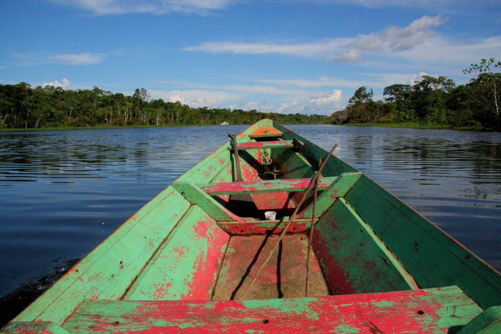
Navigating the remote lowlands of the Sucumbíos province reveals an ecosystem where terra firma yields entirely to water. For the independent adventurer, understanding this sanctuary means peeling back the layers of industrial pressure to discover an enduring landscape of ancestral stewardship and community resilience.
- The legal sanctuary: Established in 1979 following a landmark Food and Agriculture Organisation report, the reserve protects over 600,000 hectares of primary rainforest stretching all the way to the Peruvian border
- A unique hydrology: Positioned in a low-altitude basin, the area features a network of 14 major lagoons characterised by várzea (whitewater flooded forests) and igapó (blackwater submerged ecosystems rich in tannins)
- The five nations: The reserve encompasses the ancestral homelands of five distinct indigenous nations—the Siona, Secoya, Cofán, Kichwa, and Shuar—each maintaining political sovereignty, unique languages, and deep cultural heritages
- The terminal boundary: The overland route from Quito effectively ends at the Cuyabeno Bridge, where all wheeled transit terminates and travel shifts entirely to traditional river networks via motorised wooden canoes
- A conservation pivot: During the 1980s and 1990s, local communities shifted the regional economy away from oil extraction towards community-led eco-tourism, demonstrating that a standing, healthy rainforest could generate long-term economic sovereignty
- Sustainable polyculture: Local survival remains deeply tied to the environment, seen clearly in practice through the Kichwa chakra—an agricultural forest garden that blends food crops like cassava with traditional medicinal herbs
Cuyabeno Wildlife Reserve.
Explore the Amazon’s flooded forest
An unexpected transition from peaks to plains
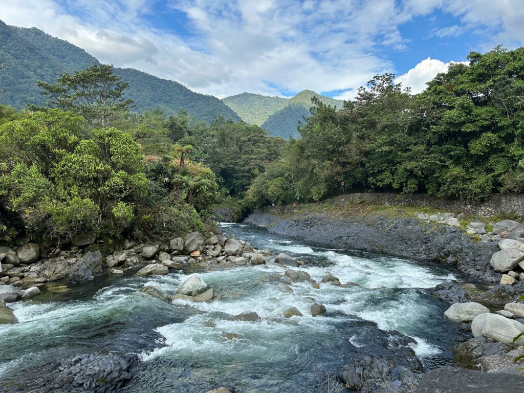
For centuries, the sheer geographic barrier of the Andes isolated the upper Amazon watershed from the coastal and highland centres of power. Early explorers searching for mythical kingdoms of gold found themselves defeated by the vertical terrain and the impenetrable wall of vegetation on the eastern slopes.
Those who travel by bus, bike, or foot today follow historical trading paths that slowly morphed into rough cargo roads. As the altitude drops from over 2,800 metres in Quito to a mere 200 metres above sea level in the lowland plains, the temperature rises and the air grows heavy with moisture. It is a threshold where the rules of overland travel begin to change, and the necessity of wheeled transport faces its ultimate structural limit.
The legal blueprints of an aquatic sanctuary
The formal history of the reserve as a protected area began on 26 July 1979, when the Ecuadorian government issued Ministerial Agreement Number 322. This decree established the Reserva de Producción de Fauna Cuyabeno as a critical component of the National System of Protected Areas.
The creation of the reserve was heavily influenced by international scientific collaboration, specifically a landmark Food and Agriculture Organisation report titled National Strategy on the Conservation of Outstanding Wild Areas of Ecuador. This strategy was based on the extensive field explorations of ecologist Daan Vreugdenhil, who recognised that Cuyabeno possessed ecological characteristics entirely distinct from any other protected area in the upper Amazon watershed.
Originally, the reserve was significantly smaller than its current iteration, encompassing roughly 150,000 hectares centred around the immediate watershed of the Cuyabeno River. The river itself derives its name from the indigenous Siona language, translating loosely to benevolent river, a testament to its role as a historical lifeline for human navigation.
As agricultural colonisation and oil exploration advanced through the northern Amazon during the early 1980s, the upper watershed faced immediate threats from encroachment. In response, conservationists and indigenous leaders successfully campaigned for the expansion of the reserve. Today, it spans over 603,000 hectares, stretching all the way to the Peruvian border and protecting a critical corridor of biodiversity that shields prehistoric reptiles, pink river dolphins, and hundreds of avian species from habitat fragmentation.
The Ecuadorian Amazon.
The most biodiverse place in the world
Defining the flooded ecosystems of the basin
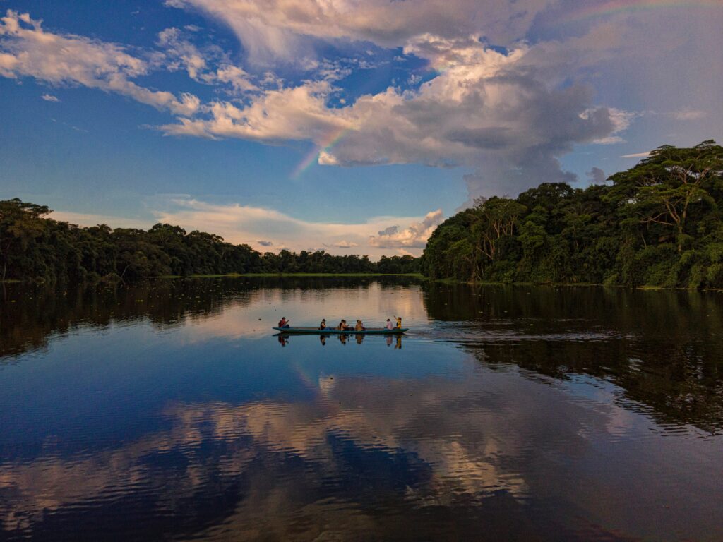
Geographically, Cuyabeno sits in a unique low-altitude basin at the very foothills of the Andes. This positioning creates a poorly drained plain that accumulates massive volumes of mountain runoff. Unlike the majority of the upper Amazon, where steeper slopes ensure rapid drainage, Cuyabeno retains water, forming an extensive network of 14 major lagoons and vast flooded forests.
The reserve features two distinct types of flooded ecosystems: várzea, which are forests seasonally inundated by nutrient-rich, sediment-heavy whitewater rivers, and igapó, the hauntingly beautiful forests submerged in acidic, clear blackwater rich in tannins from decaying organic matter. Wheely Tyred values these distinctions because they dictate how human life, navigation, and wildlife patterns evolved across the centuries.
Ancestral custodians of the upper rivers
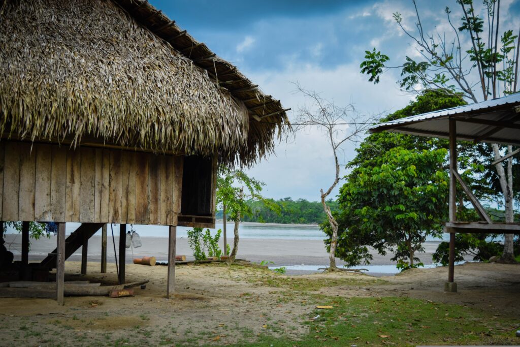
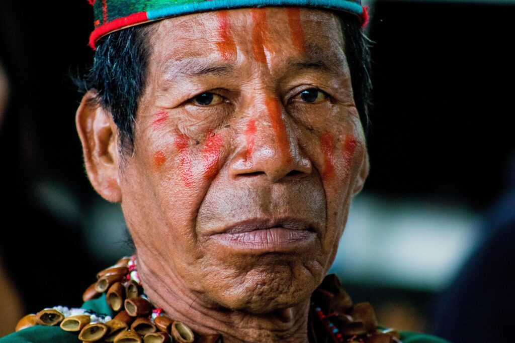
Long before modern maps drew administrative lines across the rainforest, the rivers and forests of Cuyabeno were ancestral homelands. In Ecuador, the indigenous peoples of the Amazon are formally recognised as distinct nations or communities rather than tribes, reflecting their political sovereignty and deep cultural heritage.
The reserve is home to five distinct indigenous nations: the Siona, Secoya, Cofán, Kichwa, and Shuar. Each nation carries a unique historical trajectory, language, and relationship with the land.
The Siona are the original, long-standing inhabitants of the upper Cuyabeno river system and its complex labyrinth of lagoons. Historically, a semi-nomadic people, the Siona structured their entire lifestyle around the seasonal pulse of the water, moving their settlements periodically to allow hunting grounds and agricultural soils to regenerate. They speak Pai Coca, a language belonging to the Western Tukanoan family.
Siona history is deeply intertwined with a sophisticated understanding of ethnobotany; for centuries, their spiritual and social life has been guided by the yagé shaman, a community elder who uses traditional plant medicine to commune with forest spirits, diagnose illnesses, and provide territorial guidance.
The Ecuadorian Sierra.
Get lost in the hills
Displacement, resilience, and the Western Tukanoan legacy
The Secoya, who refer to themselves as the Siekopai, share close linguistic and cultural ties with the Siona but possess a distinct history of displacement. Traditionally roaming the vast forest corridors along the Napo River extending into northern Peru, the Secoya were forced to migrate northward into Ecuadorian territory during the 1940s.
This movement was a direct consequence of the brutal legacy of the rubber trade and escalating border conflicts between Ecuador and Peru. Today, Secoya families live in closely integrated communities alongside the Siona, bringing with them a renowned oral history tradition and an unparalleled expertise in tracking and navigating the dense interior forest.
The isolated language and territorial defence of Zábalo
The Cofán represent one of the oldest identifiable cultures in the northern Amazon basin, speaking an isolated language known as A’ingae, which shares no genetic relationship with any other language family in the region. The Cofán historically defended their territories along the upper portions of the Aguarico and San Miguel rivers.
During the mid-20th century, aggressive encroachment by oil companies and Andean smallholders devastated their traditional villages. Seeking isolation and territorial security, a prominent group of Cofán migrated south in the 1970s, establishing the community of Zábalo near the confluence of the Aguarico and Zábalo rivers. The Cofán have maintained a highly organised territorial defence system, successfully integrating ancient tracking wisdom with modern conservation practices to patrol their sovereign borders.
The Galápagos.
Ecuador’s Enchanted Isles
Modern migrations and the millennial city experiment
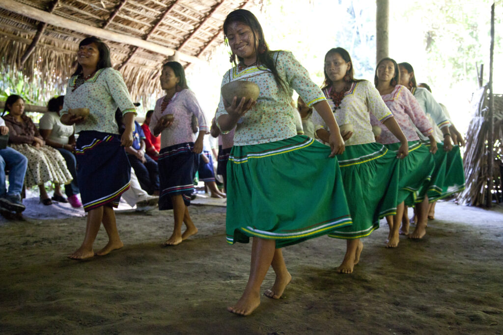
The Kichwa and Shuar nations arrived in the Cuyabeno basin through more recent historical migrations. The Amazonian Kichwa are descendants of various indigenous groups who adopted a common language rooted in Andean Kichwa, partly due to the historical movements triggered by the Inca expansion and subsequent Spanish colonial pressures that forced highland populations into the cloud forests.
They established permanent settlements along the southern margins of the reserve in the early 20th century, practising a sustainable form of polyculture through the chakra, an agricultural forest garden that blends food crops like cassava and plantains with medicinal herbs.
In the 2010s, the Kichwa community of Playas de Cuyabeno became the site of a unique social experiment when the Ecuadorian government constructed a modernist millennial city within the reserve. Built using state oil revenues, this urbanised settlement was intended to showcase a new model of indigenous infrastructure, though contemporary Kichwa families continue to navigate the complex balance between this industrialised architecture and their traditional river-based livelihoods.
The Shuar, whose ancestral lands lie further south along the Peruvian border, migrated to the outer edges of Cuyabeno during the late 20th century, fleeing the intense pressures of agricultural colonisation in their native provinces.
The Ecuadorian Coast.
Where you’ll find the very best food
The black gold rush and the transformation of Sucumbíos
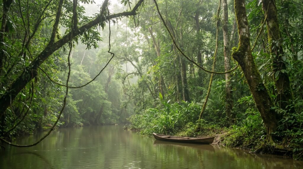
The modern history of Cuyabeno cannot be separated from the geopolitical forces that transformed the northern Ecuadorian Amazon into an industrial frontier. The discovery of substantial oil reserves in the late 1960s triggered a massive wave of state-sponsored development.
The nearby frontier outpost of Lago Agrio, later named Nueva Loja, grew rapidly from an isolated clearing into the bustling capital of the Sucumbíos province, serving as the primary logistics hub for transnational oil conglomerates.
To facilitate extraction, a dense network of roads was cut through the primary rainforest. These corridors acted as conduits for heavy machinery, pipelines, and thousands of migrant smallholders from the Andean highlands and coastal provinces who were encouraged by agrarian reform laws to clear the forest for cattle ranching and agriculture.
The construction of these roads cut directly across ancestral hunting paths and introduced severe environmental pressures, including oil spills, water pollution, and widespread deforestation along the fringes of the reserve.
The birth of community stakes in conservation
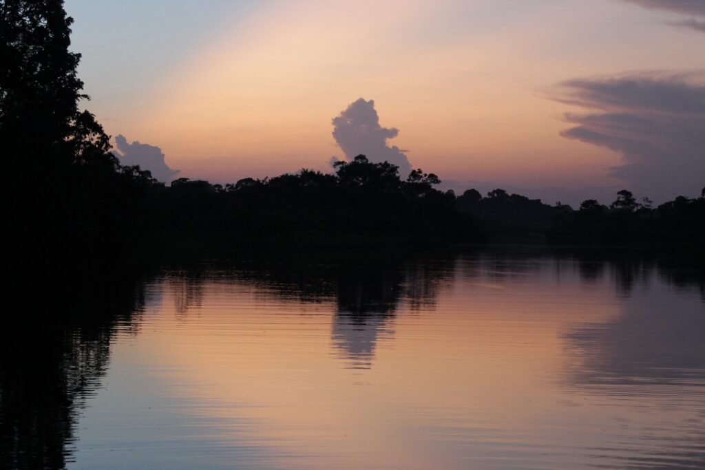
By the late 1980s and early 1990s, it became increasingly clear that marking Cuyabeno as a protected area on an official map was not enough to guarantee its survival against the financial momentum of resource extraction. A profound philosophical shift occurred as indigenous leaders, international environmental NGOs, and forward-thinking entrepreneurs realised that long-term conservation required a viable economic alternative that empowered local communities.
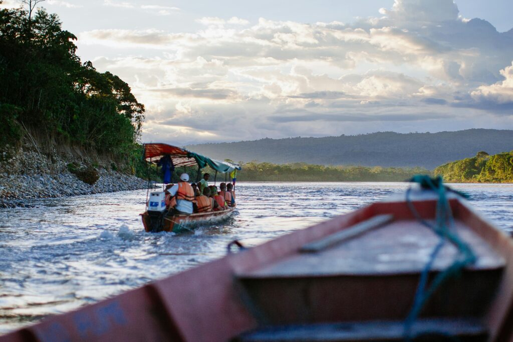
This realisation marked the birth of eco-tourism in Cuyabeno. Rather than allowing foreign operators to dominate the landscape, local indigenous nations positioned themselves as primary stakeholders. The Siona and Cofán communities began leveraging their traditional navigation skills, utilising their motorised wooden canoes to provide the essential transport logistics required to enter the deep interior of the reserve.
Community members trained extensively to meet state certification requirements as naturalist guides, converting their ancestral knowledge of animal behaviour, bird calls, and medicinal plants into an educational asset for international travellers.
The establishment of community-linked ecolodges, such as the early initiatives along the upper Cuyabeno River, provided a sustainable financial stream that directly countered the economic necessity of working for oil drilling crews or clearing land for timber. This model demonstrated that a standing, healthy rainforest could generate greater long-term economic sovereignty for indigenous families than short-term resource exploitation. Today, the management of the reserve relies on a delicate, ongoing negotiation between state conservation authorities and the indigenous communities who serve as the true frontline guardians of the territory.
Quito.
Explore the Middle of the World
The terminal point where wheels give way to water
Read this far?
For the independent traveller, the transition into Cuyabeno serves as a striking reminder of the limits of wheeled transport and the enduring power of natural geography. The overland journey from the capital city of Quito winds down the dramatic eastern slopes of the Andes, following paved and gravel routes that trace the historical pathways of early Amazonian expeditions. As the road enters the lowlands, it passes through the industrialised landscapes of the oil patch, highlighting the stark contrast between human engineering and the surrounding wilderness.
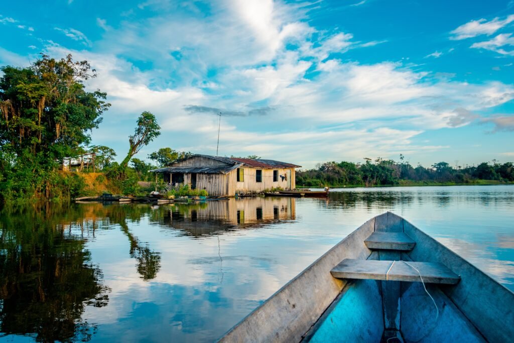
The journey on wheels reaches its absolute terminal point at the Cuyabeno Bridge. From this exact location forward, the terrestrial infrastructure completely dissolves. The road stops dead at the water’s edge, replaced entirely by a complex labyrinth of blackwater channels and flooded corridors.
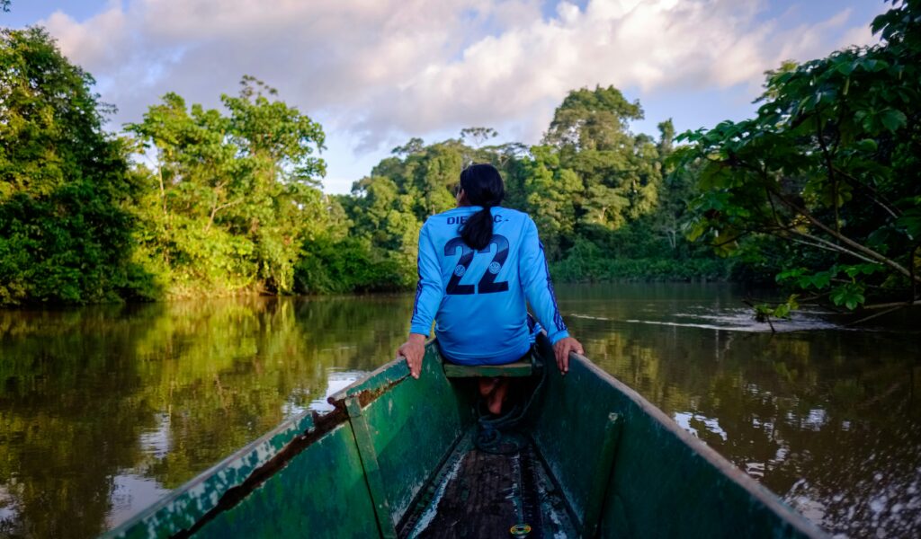
At the bridge, travellers leave behind the mechanics of wheels, gears, and chains to board traditional, narrow wooden canoes. Navigating the serpentine bends of the Cuyabeno River requires a deep understanding of water levels, submerged logs, and river currents—skills passed down through generations of indigenous navigators. As the canoe glides quietly beneath the overhanging canopy of macrolobium trees, the modern world recedes, replaced by an ancient highway system where the river dictates the destination, the pace, and the history of exploration.
Affiliate Disclaimer: Some of the links on Wheely Tyred are affiliate links. If you click through and make a booking or purchase, we may earn a small commission at no extra cost to you. We only recommend gear, tours, stays, and services we genuinely use, trust, and stand behind — our editorial independence always comes first. These commissions help keep our independent cycling guides and travel stories free to read. You can also buy me a coffee here — thanks for supporting the ride!
Frequently asked questions about the history of Cuyabeno
The journey begins with an overland route down the eastern Andean slopes from Quito to Lago Agrio, continuing onwards to the Cuyabeno Bridge. This bridge serves as the absolute terminal point for wheeled transport. From this location forward, all travel into the interior of the reserve is conducted via narrow, traditional wooden canoes navigated by local indigenous guides who understand the shifting currents and submerged hazards of the river.
The reserve features two distinct aquatic ecosystems: várzea and igapó. Várzea refers to forests seasonally inundated by nutrient-rich, sediment-heavy whitewater rivers flowing from the Andes. Igapó describes the hauntingly beautiful forests permanently or semi-permanently submerged in acidic, clear blackwater, which gains its dark, mirror-like appearance from tannins leached out by decaying organic matter.
Cuyabeno is home to five distinct sovereign nations: the Siona, Secoya (Siekopai), Cofán, Kichwa, and Shuar. Each nation possesses its own unique linguistic family, distinct historical trajectory through the Amazon basin, and a specialised relationship with the local flora and fauna.
The discovery of substantial oil reserves in the late 1960s transformed the northern Ecuadorian Amazon into an industrial frontier. The rapid growth of nearby Lago Agrio and the construction of transport roads cut directly across ancestral pathways, introducing environmental pressures like deforestation and pollution. This industrial momentum directly catalysed the modern conservation movement and the subsequent transition to community-led eco-tourism.
A chakra is a traditional agricultural forest garden cultivated primarily by the Amazonian Kichwa nation. It represents a highly sustainable form of polyculture where seasonal food crops, such as cassava and plantains, are grown beneath the natural rainforest canopy alongside native medicinal herbs, ensuring soil regeneration and food security without widespread land clearing.
Ecuador.
Pure wonder on the equator.


